Can You Still Visit The Pink And White Terraces On A Mt Tarawera Tour
No Tarawera tour visits the Pink and White Terraces. GNS says the 1886 eruption destroyed them, and Wikipedia says a small portion was reportedly found under Lake Rotomahana in 2011. Here is what each trip actually covers.
No. GNS Science says the eruption on the night of 10 June 1886 destroyed the Pink and White Terraces, and no tour sold today takes you to their site or shows you any surviving remnant. Wikipedia reports that a small portion of the Pink Terraces was rediscovered under Lake Rotomahana in 2011, but it sits beneath the water, out of sight and out of reach of visitors.
That single sentence settles the question most people arrive with, but it leaves a lot unsaid. The terraces were silica formations on the shores of Lake Rotomahana, and for decades before the eruption they drew visitors from around the world. In a matter of hours on 10 June 1886 the landscape that held them was rearranged, the lake basin changed shape, and the formations themselves were, in the words of GNS Science, destroyed.
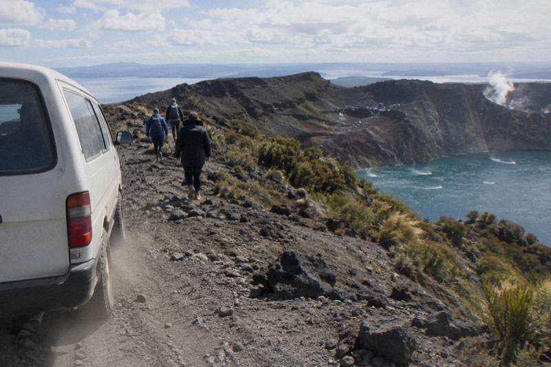
What remains accessible is the volcano responsible. Mount Tarawera stands 1,111 m at Ruawahia Dome, the highest of its three domes, and guided trips walk its summit and crater rim today. Those trips do not visit the terrace site, do not fly over a visible terrace remnant, and do not promise either. They deliver something different: the ruptured ground the eruption created, explained by guides who work the mountain every week.
That is the trade, and it is a better one than it might sound. The story of the terraces and the story of the crater are the same story, told from opposite ends. If the terraces pulled people to Lake Rotomahana before the eruption, the crater pulls them now.
If you want the closest thing to standing in that history, three formats cover most travellers: a half-day 4WD and crater walk, a full-day combo that pairs the crater walk with Kaituna River rafting, and a 40-minute helicopter landing flight. All amounts below are in New Zealand dollars.
The featured option for terrace-curious readers is the Kaitiaki half-day crater walk, a 4 hours 30 minutes trip rated 4.9 across 359 reviews that ends with you standing on Ruawahia looking down into the crater. The amount for your date shows on the booking page. Check availability
For background on the eruption itself, the date and aftermath of the 1886 eruption fill in the timeline, and the long-form companion on the terraces and the crater walk goes deeper into what the surviving paintings and photographs actually show.
What Happened To The Terraces On 10 June 1886
On the night of 10 June 1886, Tarawera erupted in what GNS Science calls New Zealand's largest eruption during the last 500 years, and the Pink and White Terraces were destroyed. More than 100 people were killed in villages near the mountain. The sound was heard as far as Blenheim, and ash fell as far as Christchurch. The silica stairways that had made the area famous did not survive the night.
Tarawera is one of the dome volcanoes of the Okataina Volcanic Centre, east of Rotorua, and its three domes, Ruawahia, Tarawera and Wahanga, were well known to Maori long before European visitors began touring the terraces. The eruption opened the mountain along a rift, reshaped the Lake Rotomahana basin, and ended the terrace era in a single night. GNS records the date plainly as 10 June 1886, and that is the date to hold onto, because secondary sources disagree on start times and other details that do not change the outcome.
The terraces were two separate formations, the Pink and the White, on opposite sides of Lake Rotomahana. They were built from silica-rich geothermal water spilling down slopes in stepped pools. Neither the lake nor the valley around it came through the eruption intact. The Rotomahana basin deepened and filled, and the terrain between the mountain and what became the Waimangu Valley was buried and re-formed.
It is worth being careful with the word "destroyed", because it carries a specific weight here. GNS uses it. Some retellings prefer "lost forever", which the evidence does not support, and the next section explains why.
What The Sources Say About The Terraces Today
GNS Science states the terraces were destroyed in 1886. Wikipedia reports that a small portion of the Pink Terraces was reportedly rediscovered under Lake Rotomahana in 2011. That rediscovery, if confirmed, sits on the lake bed, submerged and invisible from the surface, and no operator offers any way to see it. The plain answer is that nothing of the terraces can be visited.
The 2011 finding came from sonar and sub-bottom survey work on Lake Rotomahana, and the key word in the reporting is "reportedly". The surveys located formations on the lake bed that researchers proposed were remnants of the Pink Terraces. Nothing was raised, nothing was dived on by tourists, and nothing was turned into an attraction. The lake is a protected geothermal site and the material sits below the water line.
| Source | What it says | What it means for a visitor |
|---|---|---|
| GNS Science | The 1886 eruption destroyed the Pink and White Terraces | No intact terraces exist above water |
| Wikipedia | A small portion of the Pink Terraces was reportedly rediscovered under Lake Rotomahana in 2011 | Submerged, on the lake bed, not viewable |
| No tour operator | Visits the terrace site or shows a remnant | There is no terrace trip to buy |
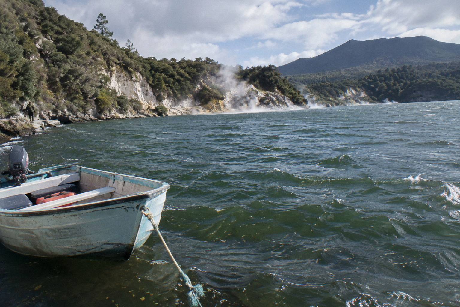
So if you meet a claim that a tour will show you the terraces, treat it with suspicion. Helicopter flights cross Lake Rotomahana and the surrounding country, and a pilot will point out the lake and the history, but the flight sees water, not terraces. A lake crossing sees the same water from the surface. The formations themselves, to the extent any portion survives, are under it.
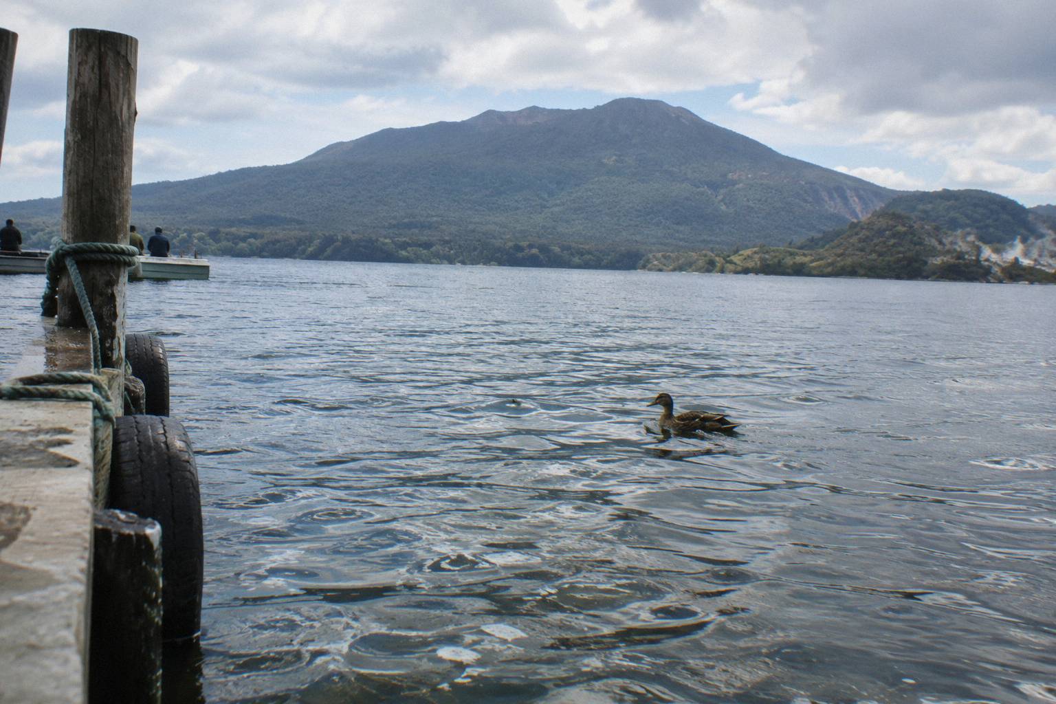
The nearest standing witness to that night is the landscape itself. The mountain carries the rift, the craters, and the scoria fields. The Waimangu Volcanic Valley, at 587 Waimangu Road, describes its geothermal system as having formed as the result of the volcanic eruption of 10 June 1886, which makes it a direct legacy of the same event that took the terraces. Waimangu is an adjacent attraction you visit separately, not part of any Tarawera tour, and no price or walk length from there appears here.
What A Tarawera Tour Actually Covers
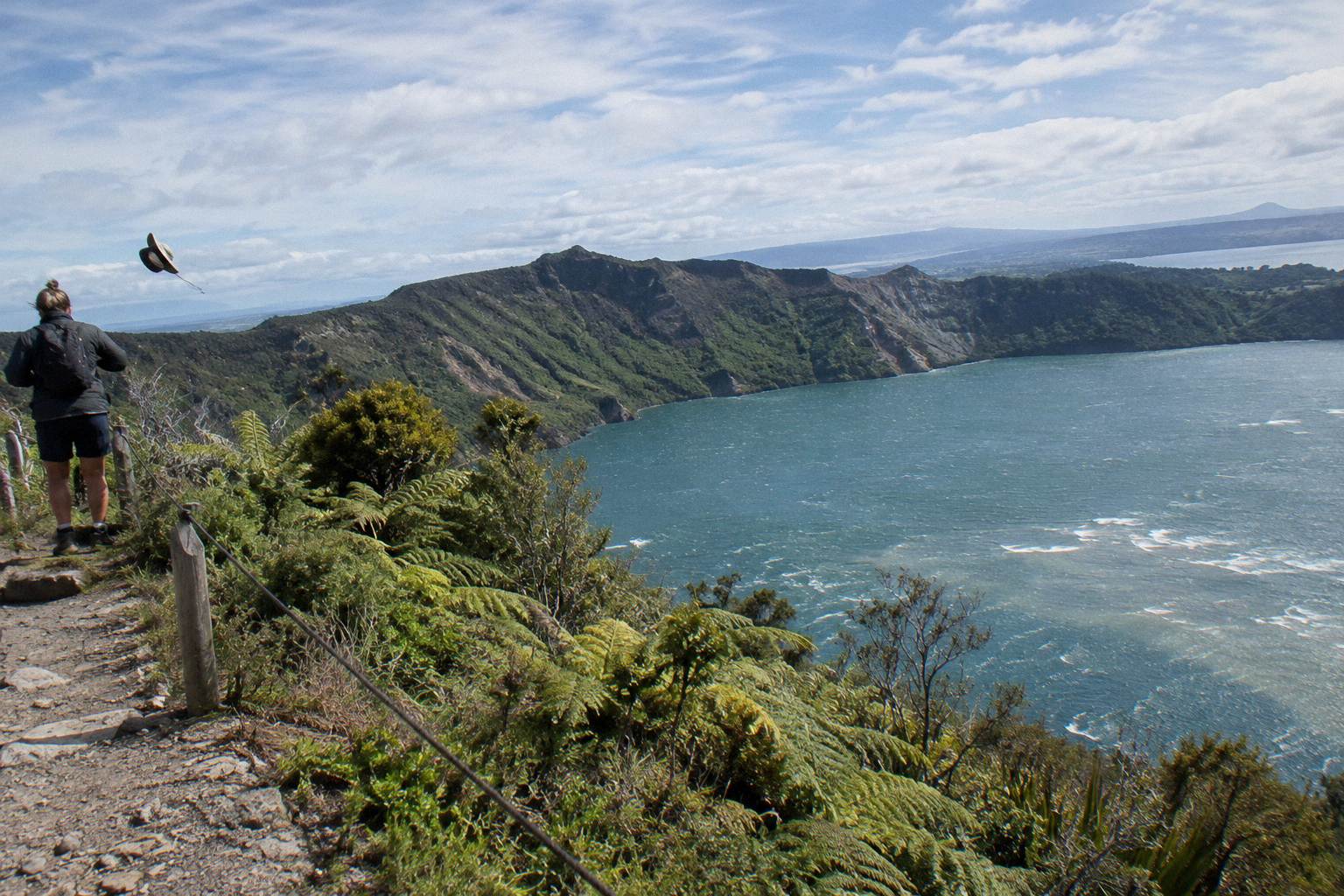
Every Tarawera tour on offer covers the mountain itself: the summit domes, the crater the eruption opened, and the views over Lake Rotomahana and the lakes country. The Kaitiaki half-day walks the crater rim for about 90 minutes after a 4WD ride up; the helicopter flights land at the pilot's discretion for a short guided walk; the combos add other activities. None of them visits the terrace site.
The distinction matters because marketing language can blur it. A flight "over the Tarawera volcanic landscape" is exactly that, a flight over the landscape, and it is a genuine experience of the eruption's aftermath. But the itinerary does not include the terraces, because there is nothing to include. The two operators whose trips appear here, Kaitiaki Adventures and Volcanic Air, describe themselves as concessionaires working alongside Ngati Rangitihi, and the trips they run are about the maunga and its crater.
| Trip | Format | Duration | Landing or walk | Terrace connection |
|---|---|---|---|---|
| Kaitiaki Half-Day 4WD And Crater Walk | 4WD ascent plus guided walk | 4 hours 30 minutes | About 90 minutes of guided crater walking | Summit of Ruawahia, the dome above the 1886 ground |
| Kaituna Rafting And Tarawera Crater Walk Combo | Rafting plus the crater walk | 9 hours | About 1.5 hours rafting and a 90-minute crater walk | The crater, plus a river day on the Kaituna |
| Volcanic Air 40-Minute Summit Landing Flight | Helicopter from the lakefront | 40 minutes | Guided walk on the mountain, about 20 minutes by the booking page | Aerial view of the lakes and rift country |
| Volcanic Air 1-Hour Mountain Landing Flight | Helicopter from the lakefront | 1 hour | About 20 minutes on the mountain | Longer flight over the volcanic landscape |
| Tarawera And Orakei Korako Dual Landing Flight | Helicopter, two landings | 3 hours | Mt Tarawera walk plus 1 hour at Orakei Korako | The mountain plus a geothermal valley |
| Tarawera Scenic Floatplane Flyover | Floatplane from the lakefront | 30 minutes | Flyover only, no landing | Aerial pass over the lake country |
Volcanic Air's landing flights each carry a caveat worth reading twice: the landing is at the pilot's sole discretion and depends on weather, volcanic activity and passenger loadings. The operator's own wording on its Mount Tarawera landing page says duration, flight times and inclusions may vary for those reasons. If a landing cannot be made, the flight still runs as a scenic flight, so book the format you would be content with either way.
For a wider view of how those formats compare before you spend anything, the walk, 4WD or helicopter decision guide lays out the differences in detail, and the step-by-step crater walk account shows what the on-foot day actually looks like from the meeting point to the rim.
The Helicopter Option And What It Shows You
The Volcanic Air 40-Minute Summit Landing Flight costs from NZ$675 per person, is rated 4.9 across 43 reviews, and crosses lakes Okareka, Okataina and Tarawera before landing on the mountain for a short guided walk, about 20 minutes by the booking page. It flies over the landscape the eruption rebuilt, and it does not show the terraces, because the terraces are not there to be shown.
This is the trip people usually mean when they ask whether a flight will "see the terraces". The flight path takes you across the lake country that the 1886 event reshaped, and on a clear day the scale of the rift country reads clearly from the air. The pilot provides commentary the whole way, headsets on the longer flight, and the landing, when the pilot makes it, puts your boots on the summit for a guided walk.
Two flights, one 40 minutes and one a full hour, share the same helipad at 1 Lakefront Drive on the Rotorua lakefront, the same weight rules, and the same minimum of two adult fares to operate. Neither publishes an age rule, so ask Volcanic Air when you book. Both carry free cancellation up to 24 hours on the booking page.
For the full picture of that format, including the weight rules and the discretion clause, the helicopter landing and summit walk guide covers it end to end.
If the goal is simply to see the volcano from the air at the lowest entry point, the Tarawera Scenic Floatplane Flyover costs from NZ$395 per person, is rated 4.8 across 48 reviews, and is a flyover only, no landing, a fact worth repeating in the same breath every time. Thirty minutes, no boots on the mountain, and the same lake country below you.
The Walk Option And Why It Fits The Story
The Kaitiaki Half-Day 4WD And Crater Walk runs 4 hours 30 minutes, is rated 4.9 across 359 reviews, and puts you on foot at the summit of Ruawahia, the highest of the three domes at 1,111 m. The price for your date shows during booking. It is the closest a visitor gets today to walking the ground of the 1886 story, standing on the dome that watched the terraces go.
The day starts at the Main Carpark on Hemo Road in Whakarewarewa, with pickup offered from central Rotorua accommodation on the booking page; ask about your pickup time when you book, because departure times are not published. From there it is about 30 minutes by road to the base of the 4WD track, then roughly 8.2 km of off-road climbing to where the road ends and the hikoi, the walk, begins. There is a base camp stop with a composting toilet and walking sticks, which answers one of the questions people ask most. The rest of the planning pages sit on Mt Tarawera Volcano Hike.
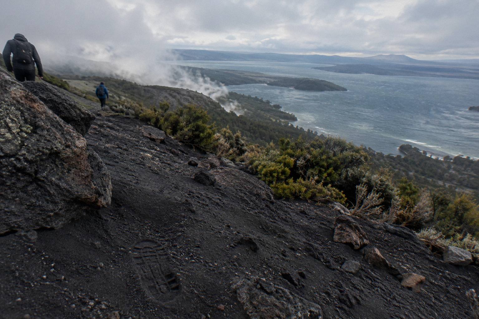
The walk itself needs what the operator calls a medium to moderate fitness level, and guests who prefer can take lighter walking options instead of the summit track. The ground is volcanic scoria that can be slippery, two sections of about 50 m need four points of contact, and the scree descent is described in Kaitiaki's own FAQ words as "a 45 degree slope approximately 400m deep". Kaitiaki provides no snacks, so carry water and food. Minimum age is 7 as the operator states, and the booking page lists low fitness, back problems, heart problems and serious medical conditions as not suitable.
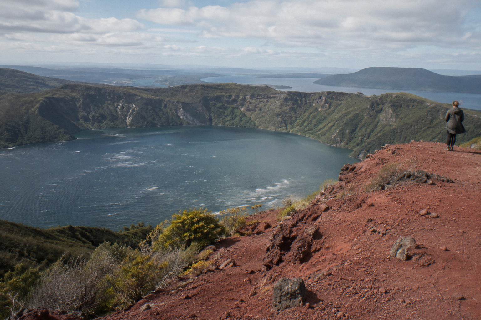
Guides on the mountain tell the 1886 story where it happened, from the summit looking down into the crater and out over Lake Rotomahana and the lakes beyond. For the full detail on what the day involves, the fitness and difficulty breakdown and the what to wear and bring guide cover the practical side, and the question of whether the crater walk is worth it gets a straight answer elsewhere. Free cancellation applies up to 24 hours on the booking page, and confirm departure times and pickup arrangements when you book.
The Combo Option For A Full Day
The Kaituna Rafting And Tarawera Crater Walk Combo packs two separately timed activities into about 9 hours: roughly 1.5 hours of Kaituna River whitewater rafting with about an hour on the water, and the 90-minute guided crater walk on Tarawera. The amount for your date shows during booking. Minimum age is 13.
The combo suits travellers who want one booking to cover both a land day and a water day. Transport from central Rotorua accommodation and the Rotorua Information Centre is included, with 22 pickup options on the booking page, and you are returned after the first activity and collected again for the second. River gear is supplied: life jackets, wetsuits, booties, splash jackets and fleeces, so the only packing decisions that matter are the ones for the mountain half.
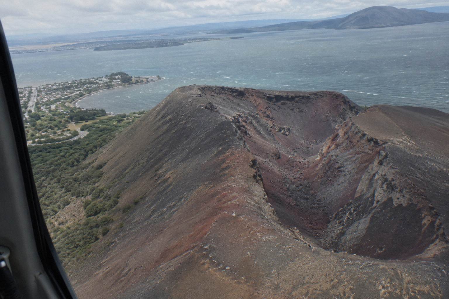
It is the longest day among the trips here, and the crater walk portion is the same guided experience the half-day delivers, minus the separate 4WD-only framing. As with every other trip, the terrace site is not part of it, and no part of the Kaituna is either. The full combo write-up compares it against booking the two halves independently.
Choosing Between The Formats
Pick the walk if you want time on the ground and the fullest telling of the story, the helicopter if you want the aerial scale of the rift country in under an hour, and the flyover if you want the cheapest way to see the volcano from above. The dual landing adds Orakei Korako if geothermal valleys matter more to you than rafting. No format is better than another; they answer different questions.
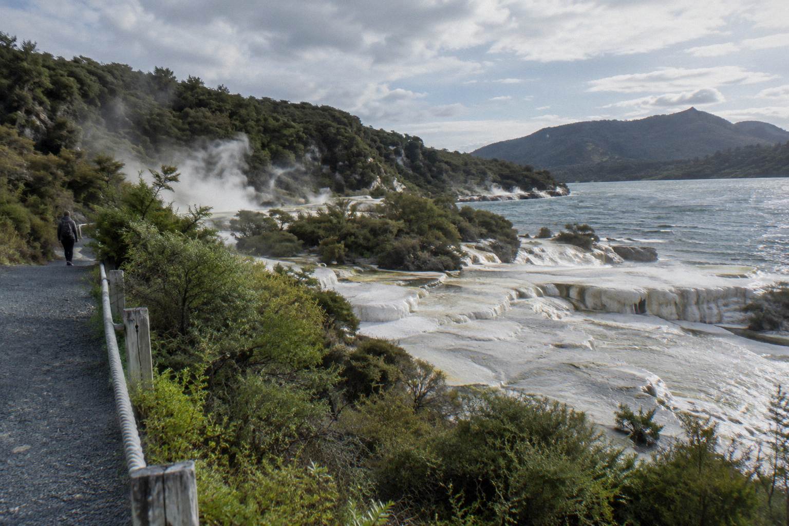
Budget frames the decision as much as appetite. The flyover starts at NZ$395 per person for 30 minutes in the air. The 40-minute landing flight starts at NZ$675 per person. The dual landing, which adds Orakei Korako and runs 3 hours, starts at NZ$1,490 per person, with admission to Orakei Korako included. The Kaitiaki half-day and the Kaituna combo show their amounts during booking rather than up front, so compare the walking options by asking for your date. Again, all figures are New Zealand dollars.
Season matters too, though none of these trips closes for winter in the way alpine crossings do. Rotorua's town climate averages a mean daily maximum of 12.0 °C in July against 23.1 °C in February, and July is the wettest month at 137.4 mm against November's 86.8 mm. The summit at 1,111 m runs colder and windier than those town figures, so pack for the top, not the lakefront. The month-by-month breakdown goes deeper than any single number here.
For the access question underneath all of this, the mountain sits on private land governed by Ruawahia 2B Trust, which is why the summit trips run as guided concessions rather than open tramping. The guide access explanation and the whether you can walk it alone piece cover that ground properly.
Mistakes To Avoid When Planning Around The Terraces
The recurring mistakes are these: booking a flight expecting to see the terraces, assuming a lake tour reaches the 2011 find, treating "lost forever" as fact, showing up for the walk without water or snacks, and overlooking that helicopter landings are discretionary. Each one is easy to avoid once you know it, and every one of them changes what a trip feels like on the day.
First, expect no terraces, from any operator, in any format, at any price. The formations GNS describes as destroyed are not a stop on any itinerary, and the submerged portion reported in 2011 is not viewable. Travellers who book with the right expectation, a volcano and its crater, consistently get the better day.
Second, read the fine print on landings. A helicopter booking is a booking for a flight; the landing is the pilot's call on the day. If touching the summit matters to you above all else, the walking trip puts boots on the mountain in a way a flight cannot.
Third, pack for the walk as the operator advises: sturdy shoes, comfortable clothing for the weather, water and snacks, since none are provided. The packing guide exists because people get this wrong in both directions, underdressed in winter and overloaded in summer.
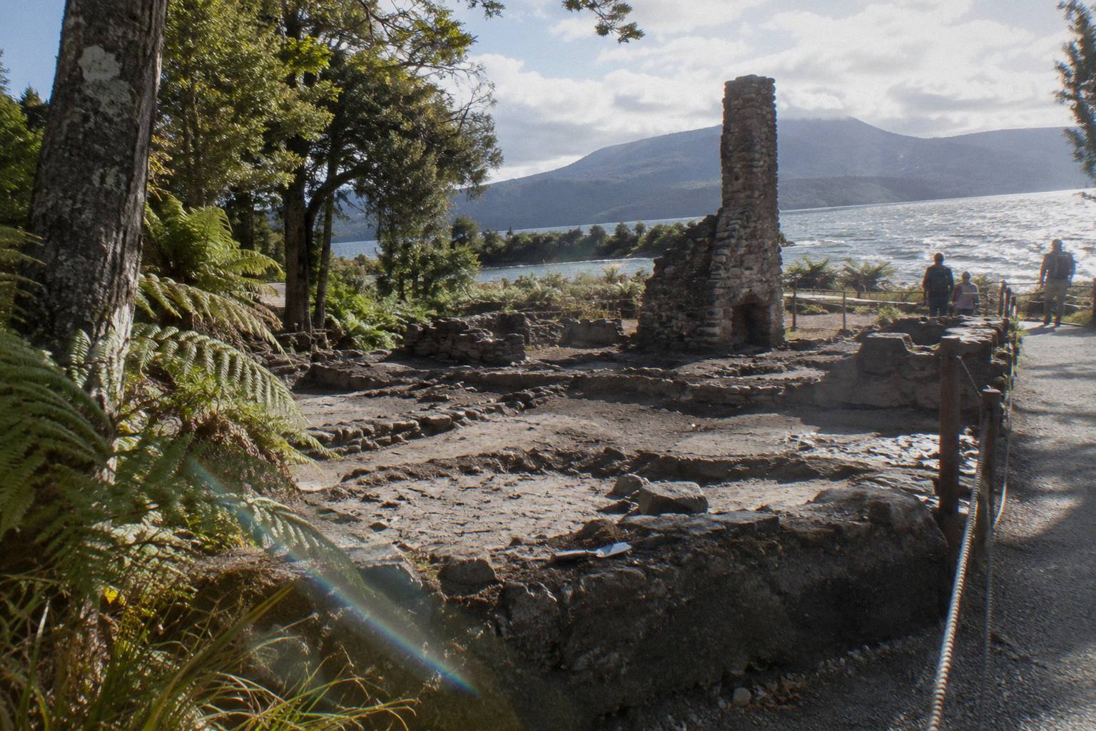
Fourth, if the terrace history is the heart of your interest, build the day around it: the crater walk in the morning, then the Buried Village of Te Wairoa at 1180 Tarawera Road, open 10am to 4pm Wednesday to Sunday with last entry at 3.45pm, and Waimangu beyond it. The Waimangu pairing guide sketches that full day, and the Buried Village and crater walk combination pulls the whole 1886 story into one route.
Common Questions About The Pink And White Terraces
Can You Still Visit The Pink And White Terraces On A Mt Tarawera Tour?
No. GNS Science says the eruption on the night of 10 June 1886 destroyed them, and no tour visits their site. Wikipedia reports a small portion of the Pink Terraces was rediscovered under Lake Rotomahana in 2011, but it lies submerged on the lake bed, out of sight.
Were The Pink And White Terraces Really Lost Forever?
That phrase overstates it. GNS says destroyed; Wikipedia says a small portion of the Pink Terraces was reportedly rediscovered under the lake in 2011. Nothing visitable survives above water.
Do Any Helicopter Flights Over Lake Rotomahana Show The Terraces?
No. Flights cross the lake and the volcanic landscape, with pilot commentary on the history, but there is no visible terrace remnant to see from the air.
What Is The Closest Experience To The Terraces That A Tour Offers?
The guided crater walk on the mountain itself, standing on Ruawahia Dome at 1,111 m above the ground the 1886 eruption broke open, or a helicopter landing flight over the same landscape.
Is Waimangu Volcanic Valley Connected To The Terraces?
Yes, as a legacy of the same event. Waimangu describes its geothermal system as formed as a result of the eruption of 10 June 1886, the night the terraces were destroyed. It is a separate attraction at 587 Waimangu Road, not part of a Tarawera tour.
Can Children Join The Trips That Cover The Mountain?
The Kaitiaki Half-Day 4WD And Crater Walk lists a minimum age of 7 as the operator states, and the Kaituna combo lists 13. Ask Volcanic Air about age rules when you book.