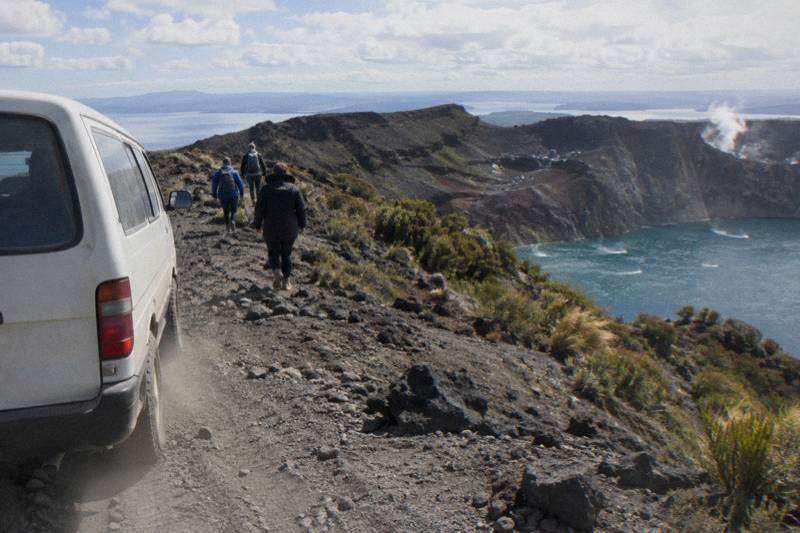
When Did Mt Tarawera Erupt, And What The Crater Walk Shows
Mt Tarawera erupted on the night of 10 June 1886, New Zealand's largest eruption in the last 500 years. Here is what happened, and what the guided crater walk shows of it today.
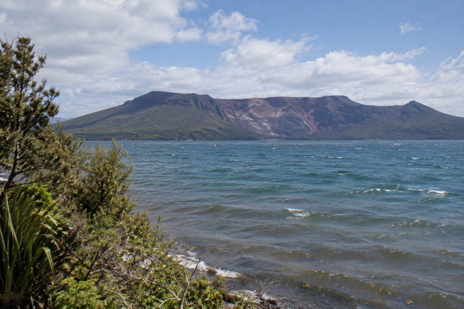
Mt Tarawera erupted on the night of 10 June 1886. GNS Science calls it New Zealand's largest eruption during the last 500 years, and more than 100 people were killed in villages near the mountain. The guided crater walk today crosses the summit of Ruawahia Dome, at 1,111 m the highest of the mountain's three domes, over scoria ground the eruption left behind.
The date is the easy part. The night of 10 June 1886 is fixed in every source, from the GNS Science volcano fact sheet to the region's own museum records. What confuses people is everything around it: which volcano actually erupted, how big it was, who lived in its shadow, and what remains visible for a visitor standing on the summit today. Tarawera sits east of Rotorua as one of the dome volcanoes of the Okataina Volcanic Centre, and the 1886 event tore through that landscape in a way that reshaped the whole district, burying the Pink and White Terraces and the villages beside them.
The mountain is on private land governed by the Ruawahia 2B Trust, and summit trips run as guided concessions. Two formats dominate: walking trips that reach the summit by 4WD track and foot, and helicopter flights that land near the top when conditions allow. Readers asking about the eruption are usually deciding whether a crater walk is worth adding to a Rotorua trip, so the comparison below pairs the walking option with a full-day combo and a helicopter alternative. All amounts are in New Zealand dollars, and free cancellation up to 24 hours applies to each trip on its booking page.
If the walking format is the one that fits, the Kaitiaki half day crater walk tour covers the eruption ground at a steady pace with a local guide, or you can check availability for your dates directly. For a fuller picture of how the formats differ, the guide on choosing between a walk, 4WD or helicopter at Mt Tarawera breaks down each option on stated facts.
What Happened On The Night Of 10 June 1886
The eruption began on the night of 10 June 1886 and hit the villages near the mountain hardest. GNS Science records that more than 100 people were killed, that the sound was heard as far away as Blenheim, and that ash fell as far south as Christchurch. The Pink and White Terraces, the district's famous silica formations, were destroyed.
GNS Science, the country's geological research institute, describes 1886 as New Zealand's largest eruption during the last 500 years, which places it ahead of every other volcanic event in the country's recent history in scale. The basaltic eruption broke open the line of domes, and its effects reached far beyond the Bay of Plenty. Witnesses in Blenheim, at the top of the South Island, heard the mountain; Christchurch, hundreds of kilometres south, received ash. A single night did all of it.
The human cost concentrated in the settlements clustered near the mountain and along Lake Tarawera, where people lived beside the terraces and the hot springs that drew visitors from around the world. Sources give different exact totals, so the careful figure is simply more than 100 people killed, in GNS's own phrasing. The eruption destroyed the Pink and White Terraces, yet they did not vanish without trace: a small portion of the Pink Terraces was reportedly rediscovered under Lake Rotomahana in 2011. The lake itself sits in a crater the eruption deepened.
Here are the eruption facts, with the source for each, exactly as the primary records give them:
| Fact from 1886 | Source |
|---|---|
| Eruption date: the night of 10 June 1886 | GNS Science fact sheet |
| New Zealand's largest eruption during the last 500 years | GNS Science |
| More than 100 people killed in villages near the mountain | GNS Science |
| Eruption sound heard as far as Blenheim | GNS Science |
| Ash fell as far as Christchurch | GNS Science |
| The Pink and White Terraces were destroyed | GNS Science |
| Tarawera is a dome volcano of the Okataina Volcanic Centre | GNS Science |
| A small portion of the Pink Terraces reportedly found under Lake Rotomahana in 2011 | Wikipedia |
Kaitiaki Adventures, whose guides lead summit walks on the mountain, describes its relationship to that history in plain terms on its conservation values page: the company works as a concessionaire alongside Ngati Rangitihi, who hold kaitiakitanga of the maunga, and most tourism concession revenue goes back into conservation work such as wilding pine removal. That context explains why summit access runs through guided trips rather than open tramping.
The walking tour that crosses the eruption ground most directly is the Kaitiaki Half-Day 4WD And Crater Walk: 4 hours 30 minutes, rated 4.9 across 359 reviews, with the amount shown on the booking page for your date. It runs daily in good weather, and free cancellation up to 24 hours applies on the booking page.
The Three Domes And The Summit You Walk On
Mt Tarawera is made of three domes: Ruawahia, Tarawera and Wahanga. Ruawahia, at 1,111 m, is the highest, and the guided crater walk reaches its summit. The domes formed long before 1886; the eruption broke along and through them rather than building a classic cone.
The three-domed shape is what makes Tarawera look so different from New Zealand's cone volcanoes. Instead of one pointed peak, the mountain is a long ridge of rhyolite domes, and the 1886 eruption exploited the weaknesses along that ridge line. Standing on top, the profile reads clearly: separate high points along a shared base, with the summit of Ruawahia the goal of the walking trips.
| Dome | Role on the guided walk |
|---|---|
| Ruawahia | Highest dome at 1,111 m; the summit the half-day and full-day hikes reach |
| Tarawera | Middle dome of the ridge, part of the summit panorama |
| Wahanga | Northern dome, visible along the ridgeline from the summit |
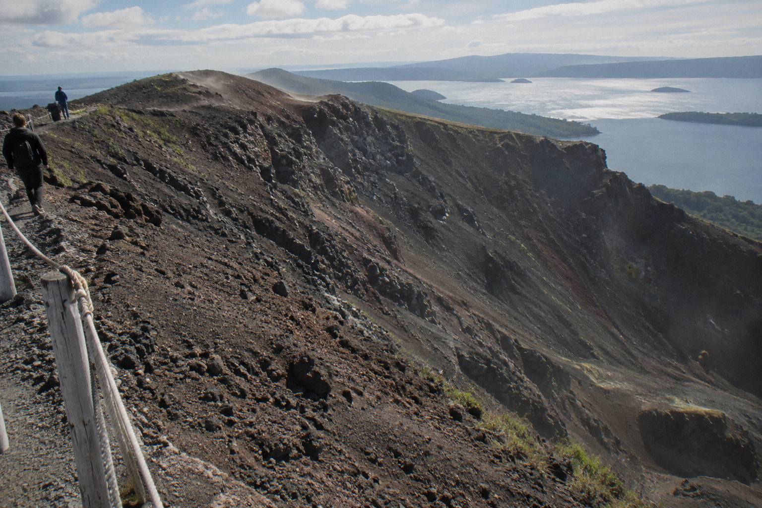
Kaitiaki's trip reaches the summit of Ruawahia with, in the operator's own words, 360 degree views, and its FAQ notes benches along the route where the guide explains the terrain, with the summit trail pointed out at the second bench. The scree descent into the crater, which the half-day page mentions as an optional run down, follows a slope Kaitiaki's FAQ describes as "a 45 degree slope approximately 400m deep". That is the operator's own wording about the scree run, not a measurement of the crater itself; no official source gives a crater size, and none is needed to enjoy the walk.
The ground underfoot is volcanic scoria that can be slippery, and Kaitiaki's FAQ notes two sections of about 50 m that need four points of contact. Sturdy shoes, water and snacks belong in your pack, since the operator provides no food. The operator's FAQ page is the primary source for those walk details, and it is worth a read before booking any summit trip.
What The Crater Walk Shows Of The Eruption
The walk shows the eruption's aftermath directly: scoria slopes, the torn ridgeline, and views across Lake Rotomahana and the Waimangu Valley, both shaped by 1886. Guides point out the crater itself, and the optional scree run drops you into it. The landscape is the evidence; nothing needs to be imagined.
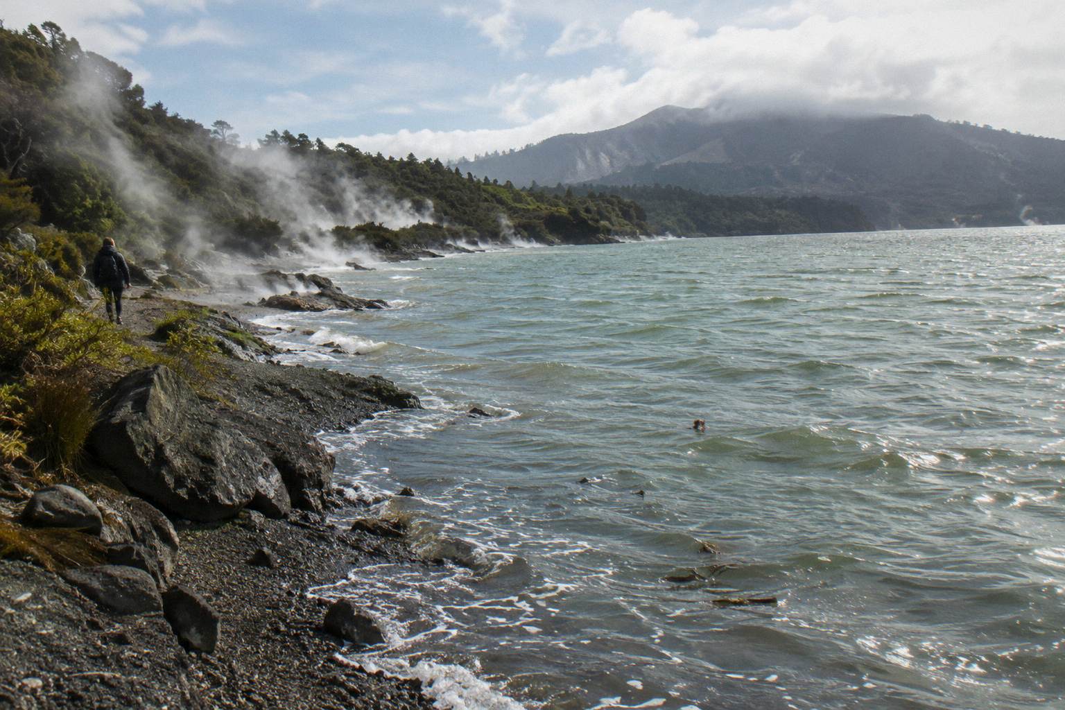
A guided walk on Tarawera is, in effect, a field trip through the eruption's results. The vehicle track climbs about 8.2 km of off-road from the base, then the foot track continues to the summit of Ruawahia. From the top, the geography of 1886 lays itself out: Lake Rotomahana below, where the terraces once stood beside a much smaller lake; the Waimangu Valley to the south west, whose geothermal system Waimangu itself describes as formed as the result of the eruption on 10 June 1886; and the rifted line of the mountain underfoot.
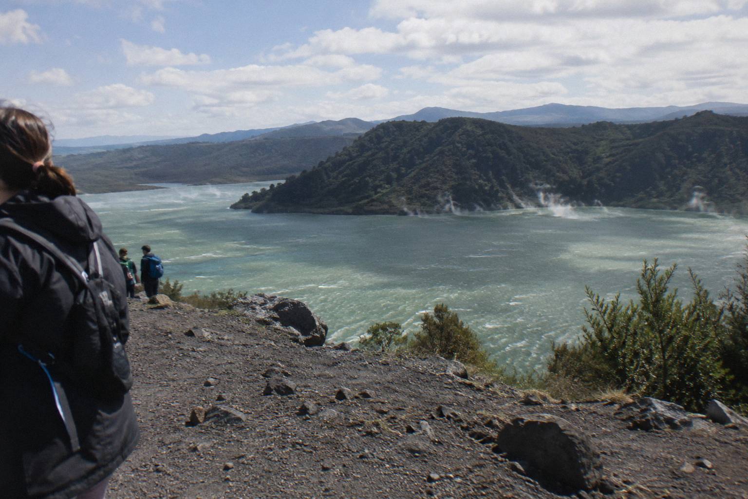
Two adjacent sites deepen the story for anyone with a spare half day. The Buried Village of Te Wairoa, on Tarawera Road, preserves a village the eruption buried; it is open 10am to 4pm Wednesday to Sunday, with last entry at 3.45pm and closure on Monday, Tuesday and Christmas Day. And the Tarawera Trail, a 15 km DOC advanced tramping track from the Te Wairoa car park to the Hot Water Beach campsite via Te Rata Bay, follows the lake shore rather than the mountain itself; dogs, bikes and vehicles are not permitted on it, and DOC warns that localised patches of sand at Hot Water Beach are very hot. The guide comparing the Tarawera Trail with the crater walk helps if you are choosing between the lake side and the summit.
Kaitiaki's half day runs 4 hours 30 minutes and suits visitors from age 7, as the operator states, with a moderate fitness level needed for the summit track and lighter walking options available instead of the summit. Children under 7, travellers with low fitness, back problems, heart problems or serious medical conditions are shown as not suitable on the booking page, and the trip is not wheelchair accessible. The rating stands at 4.9 across 359 reviews, and the booking page shows the amount for your date.
Helicopter Landing Flights And The 1886 Landscape
Helicopter flights from the Rotorua lakefront cross the lakes between town and the mountain before landing near the summit for a short guided walk. Volcanic Air states that landings are at the pilot's sole discretion and depend on weather, volcanic activity and passenger loadings, so a landing is never guaranteed.
The aerial format suits visitors who want the eruption's geography in one frame: the lakes Okareka, Okataina and Tarawera pass beneath the aircraft in order, then the rifted mountain itself. The Volcanic Air 40-Minute Summit Landing Flight costs from NZ$675 per person, is rated 4.9 across 43 reviews, and includes a guided walk on the mountain; the operator's page describes that walk as 15 minutes, while the booking page says about 20, so treat it as a brief summit stop rather than a hike. It departs the Rotorua City Lakefront helipad on 1 Lakefront Drive, with a weight rule of 135 kg per seat and passengers over 110 kg possibly given specific seating with individual weights taken at booking.
A flyover alternative exists for a lower outlay. The Tarawera Scenic Floatplane Flyover costs from NZ$395 per person, runs 30 minutes, is rated 4.8 across 48 reviews, and is a flyover only, with no landing on the mountain. And for a bigger half day, the Tarawera And Orakei Korako Dual Landing Flight, from NZ$1,490 per person over 3 hours, pairs a Mt Tarawera landing and guided walk with a ferry to Orakei Korako and an hour there, admission included. Check the booking page for current departure details for your date.
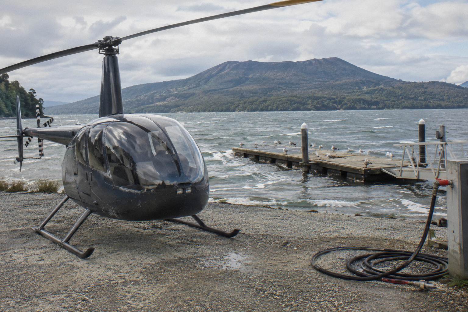
Volcanic Air's own Mt Tarawera landing tour page carries the exact wording on discretion: tour duration, flight times and inclusions may vary with conditions, and excursion landings are at the pilot's sole discretion. That is standard for mountain landings and worth knowing before you book, but it should not deter you; the flights run year round in suitable weather.
Lives Lost And The Villages Near The Mountain
GNS Science records that more than 100 people were killed in villages near the mountain on the night of 10 June 1886. Most were Maori communities living at Te Wairoa and around Lake Tarawera, close to the terraces. The careful figure is "more than 100"; sources disagree on any exact total.
The eruption's human story deserves a plain telling. The villages in the mountain's shadow sat within kilometres of the vents, and the darkness, ash and mudflows of that single night overwhelmed them. Te Wairoa, later excavated and opened to visitors as the Buried Village, gives the clearest sense of the scale today: a settled place with homes, a hotel and a school, struck without warning in the small hours.
Exact totals differ between sources, which is why every careful account, including GNS's own, stops at "more than 100 people" rather than naming a figure. No page needs a more precise number, and no responsible writer should manufacture one. What matters for a visitor is that the communities survived, rebuilt, and today hold the guardianship of the mountain itself: Ngati Rangitihi hold kaitiakitanga of the maunga, and the conservation projects funded by tourism concessions give work and training to Ngati Rangitihi rangatahi, as Kaitiaki's conservation page records.
The Name Tarawera, And Who Looks After The Mountain Now
GNS Science gives "burnt cliff" or "peaks" as meanings of the name Tarawera. The mountain is governed by the Ruawahia 2B Trust, which reinvests most tourism concession revenue in conservation. Ngati Rangitihi hold kaitiakitanga, and the two operators covered here work as concessionaires alongside them.
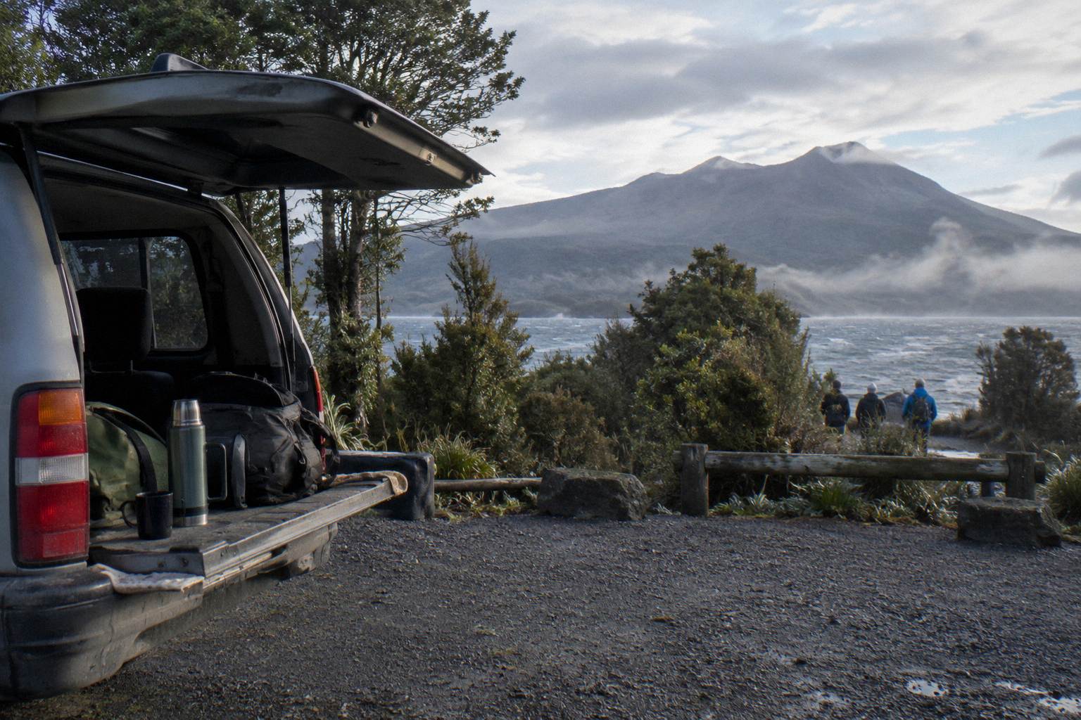
The name's meaning fits the place: a burnt, broken cliff of a mountain, its dark scoria slopes bare of forest. GNS attributes the wording, and it is the only name meaning to rely on. Beyond the name, the present-day arrangements matter to any visitor wondering why summit trips are guided. The mountain is private land; the Trust governs it, and access runs through concession arrangements with operators such as Kaitiaki Adventures and its partner Volcanic Air, both of whom describe themselves as proud concessionaires working alongside Ngati Rangitihi. Wilding pine removal comes first in the conservation spending, which is why the summit landscape stays open rather than scrubbing over.
That governance is also why you cannot simply drive to the top or wander up a track of your own choosing. For any route other than the guided trips or the DOC lake-edge Tarawera Trail, ask Ruawahia 2B Trust, the operator or DOC before you plan. The blog post on who owns Mt Tarawera and why access is guided covers the land arrangements in more depth, and the wider story is collected at Mt Tarawera Volcano Hike, the site you are reading now.
Common Mistakes About The 1886 Eruption
Five errors recur in travel writing about Tarawera: calling it an active volcano in eruption today, dating the event vaguely, inventing an exact death toll, claiming the terraces were lost forever, and mixing up the lake trail with the summit walk. Each one is avoidable with the primary sources.
First, the alert level question. GeoNet publishes the current volcanic alert level for the Okataina Volcanic Centre, the caldera that contains Tarawera; check it before you travel. GNS describes Tarawera as a dome volcano inside an active caldera, not an active volcano about to blow. Second, vague dating: the eruption was the night of 10 June 1886, full stop. Sources disagree on the start time and the rift length, so neither belongs in a summary.
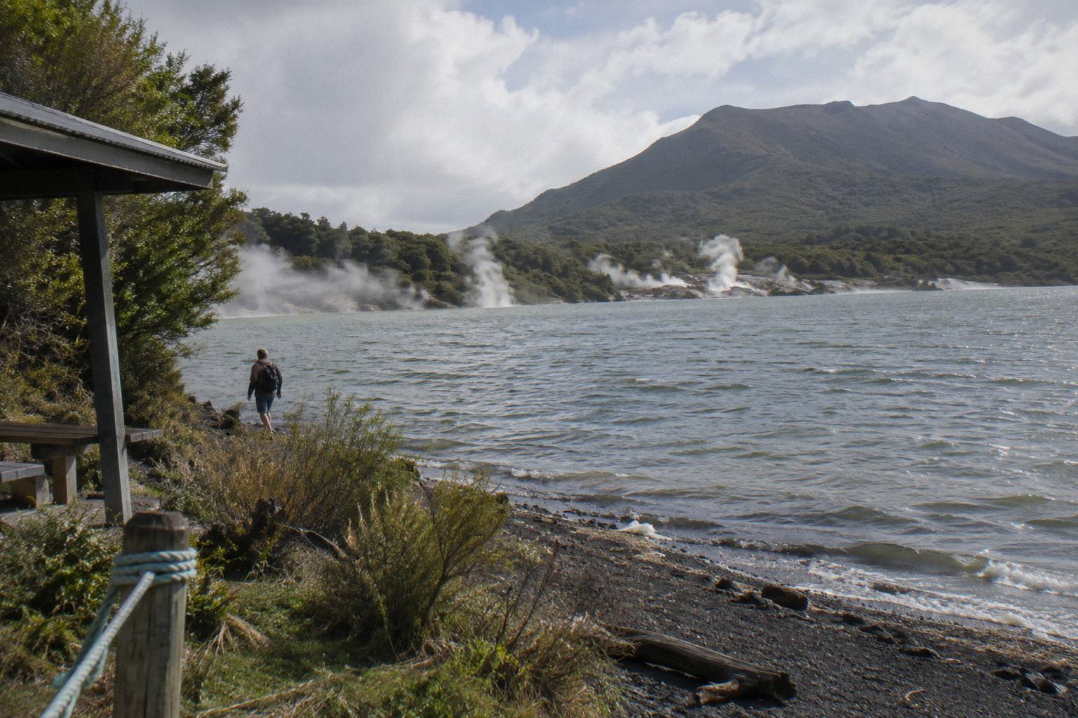
Third, death tolls. Any figure more precise than "more than 100" is a choice between conflicting sources, and there is no need to choose. Fourth, the terraces: they were destroyed in 1886, yet a small portion of the Pink Terraces was reportedly found beneath Lake Rotomahana in 2011, so "lost forever" overstates the case. Fifth, trail confusion: the Tarawera Trail is a 15 km lake-edge tramping track to Hot Water Beach, not a route up the mountain, and no official page authorises unguided walking on the summit itself. Budget a whole day for the lake trail or half a day for the summit, not both at once.
Finally, a planning mistake rather than a factual one: assuming every summit experience includes a landing or a walk. The floatplane product is a flyover only, with no landing on the mountain, and the helicopter landing flights land at the pilot's discretion. Match the format to what you want from the day before you book.
Common Questions About When Did Mt Tarawera Erupt, And What The Crater Walk Shows
When Did Mt Tarawera Erupt, And What The Crater Walk Shows?
Mt Tarawera erupted on the night of 10 June 1886. The guided crater walk shows the direct results: the scoria summit of Ruawahia Dome at 1,111 m, the torn ridgeline, the optional scree run into the crater, and views over Lake Rotomahana and the Waimangu Valley, all shaped by that night.
Was The 1886 Eruption New Zealand's Biggest?
GNS Science calls it New Zealand's largest eruption during the last 500 years. The sound was heard as far as Blenheim and ash fell as far as Christchurch, which gives a sense of the reach beyond the Bay of Plenty.
How Many People Died In The Eruption?
More than 100 people were killed in villages near the mountain, in GNS Science's wording. Sources give different exact totals, so no more precise figure should be trusted over another.
Can You Still See The Pink And White Terraces?
No. The terraces were destroyed in the 1886 eruption, though a small portion of the Pink Terraces was reportedly rediscovered under Lake Rotomahana in 2011. The lake itself now sits in a crater the eruption deepened, visible from the summit.
Do You Have To Walk Up Mt Tarawera To See The Eruption Landscape?
No. Helicopter flights from the Rotorua lakefront cross the lakes and land near the summit for a short guided walk when the pilot approves the landing, and the floatplane flyover from NZ$395 per person covers the mountain without landing. Walking gives the longest time on the ground; the Kaitiaki half day runs 4 hours 30 minutes.
Is Mt Tarawera Still Active?
GeoNet publishes the current level for the Okataina Volcanic Centre (the caldera containing Tarawera); check it before you travel. GNS describes Tarawera as a dome volcano inside an active caldera, which is the accurate way to frame it.