Tarawera Trail Or Mt Tarawera Crater Walk: Two Different Walks
Two walks share the Tarawera name and confuse travellers constantly: a 15 km Department of Conservation tramping track along the lake shore, and a guided walk onto the volcano itself. They are different trips, on different land, under different rules.
Short answer
The Tarawera Trail is a 15 km DOC advanced tramping track from the Te Wairoa car park to the Hot Water Beach campsite along the Lake Tarawera shore. The crater walk is the guided Kaitiaki half day, 4 hours 30 minutes, driven up the mountain by 4WD and walked to the 1,111 m summit. One never climbs the volcano; the other never follows the lake.
Two names cause more booking confusion around Rotorua than almost any other pair in the region. The Tarawera Trail and the Mt Tarawera crater walk both sit beside the same lake, both appear in the same search results, and travellers regularly book one while imagining the other. The distinction matters because one is a self-guided tramping track along the lake shore, and the other is a guided trip onto the volcano's summit, a mountain on private land where access runs through tourism concessions.
The short version: the trail hugs the water, the crater walk climbs the volcano. Everything else, cost, fitness, rules, even who manages the ground under your boots, flows from that single split. All dollar amounts below are New Zealand dollars, shown as booking-page from-prices per person.
What Is The Difference Between The Tarawera Trail And The Crater Walk?
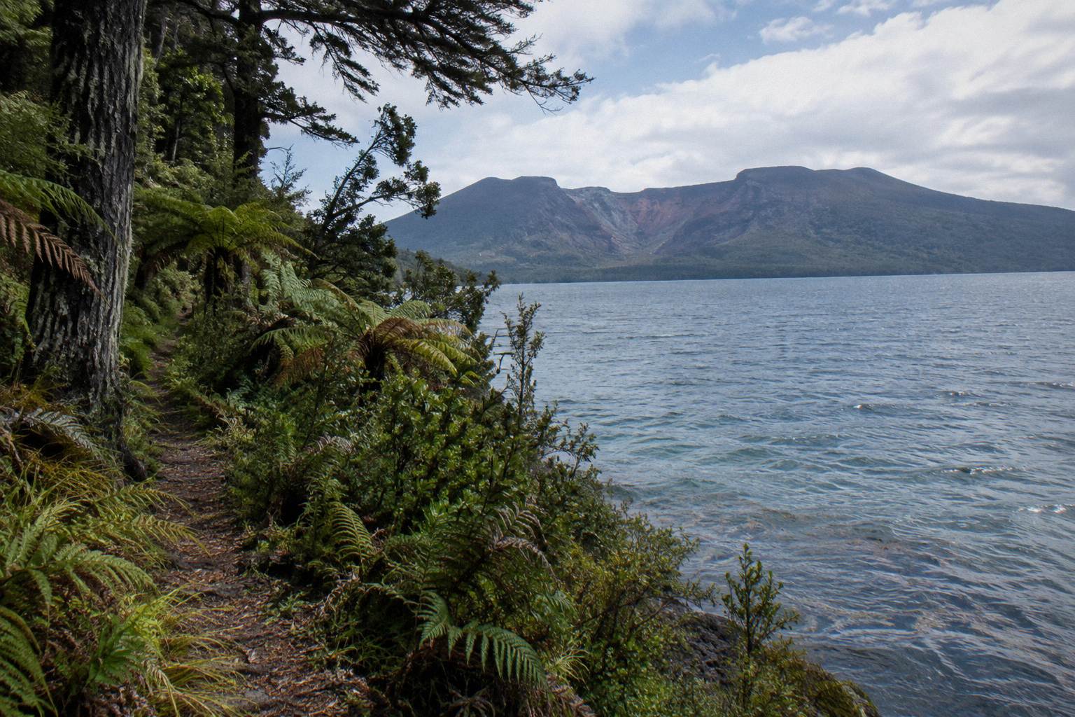
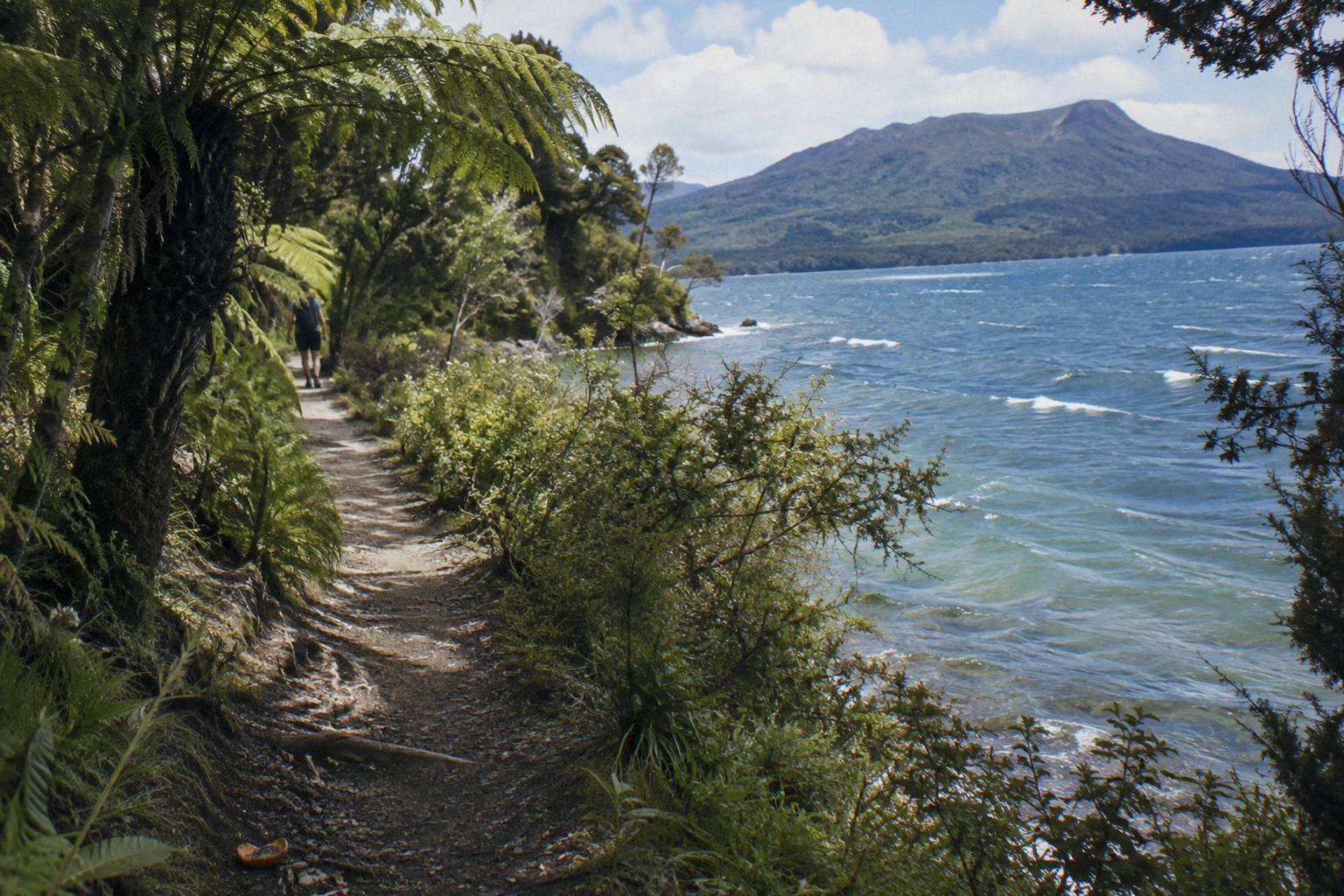
The Tarawera Trail is a 15 km advanced tramping track along the Lake Tarawera shore from the Te Wairoa car park to the Hot Water Beach campsite, while the crater walk is a guided half-day trip in which Kaitiaki Adventures drives you up the mountain by 4WD and a guide walks you to the 1,111 m summit and crater rim: the trail never climbs the volcano, and the crater walk never touches the lake edge.
It is a point-to-point track, which is why DOC suggests a water taxi in one direction or a night at the campsite rather than walking out and back in a single day. Dogs, bikes and vehicles are not permitted, and DOC notes occasional rock falls along the route.
The crater walk is a different animal entirely. Mt Tarawera sits on private land governed by the Ruawahia 2B Trust, which reinvests most tourism concession revenue in conservation, with wilding pine removal first among the projects. Kaitiaki Adventures and its partner Volcanic Air describe themselves as concessionaires working alongside Ngati Rangitihi, who hold kaitiakitanga, guardianship, of the maunga. There is no DOC tramping track to the summit, and no official page authorises unguided walking on the mountain. For anyone weighing independent access in more depth, the companion piece on whether you can walk Mt Tarawera without a guide covers the ownership question in full.
Here are the two walks side by side on the facts that matter to a booking decision:
| Tarawera Trail | Mt Tarawera Crater Walk | |
|---|---|---|
| What it is | 15 km advanced tramping track | Guided half-day summit trip |
| Who runs it | Department of Conservation track | Kaitiaki Adventures |
| Route | Te Wairoa car park to Hot Water Beach campsite via Te Rata Bay | 4WD up the mountain, guided walk to the summit |
| Land | Lake-edge conservation track | Private mountain land under Ruawahia 2B Trust |
| Duration | A full day one way, or overnight | 4 hours 30 minutes door to door |
| Fitness wording | DOC grades it an advanced tramping track | Operator says medium to moderate fitness |
| Guide | None, you walk it yourself | Local guide throughout |
| Price shown | No tour price; DOC campsite fees may apply | No price shown; the booking page shows the amount for your date |
Which Walk Suits You: Lake Edge Or Volcano Summit?
Pick the Tarawera Trail for a full-day bush hike with lake views and a hot-sand beach at the finish, provided you can handle an advanced 15 km point-to-point track; pick the crater walk if you want to stand on the rim of the volcano that erupted in 1886, 1,111 m up, with a guide and transport up, plus a 4 hours 30 minute commitment. Travellers with two spare days often do both.
The trail rewards walkers who like self-sufficiency. You carry your own water and food, manage your own turnaround, and finish at a DOC campsite where the sand itself holds heat: localised patches of sand at Hot Water Beach are very hot, in DOC's words. The scenery is lake, bush and geothermal touches rather than raw volcanic rock.
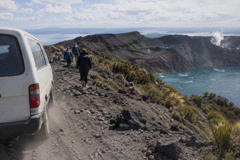
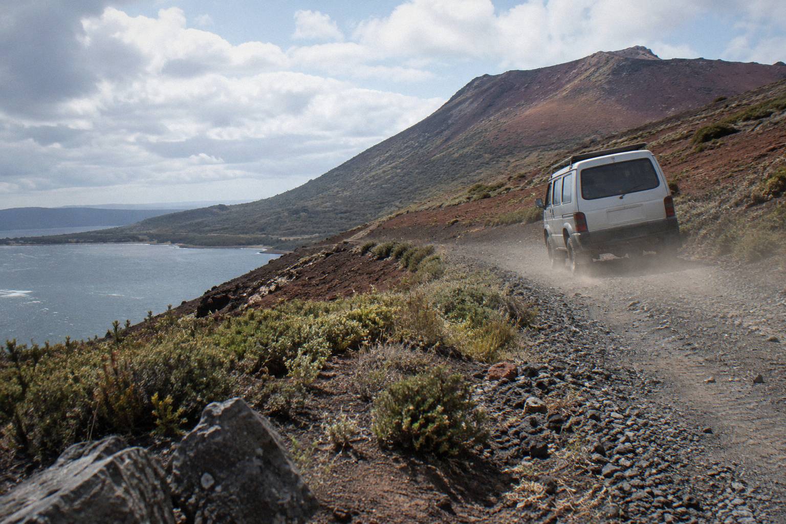
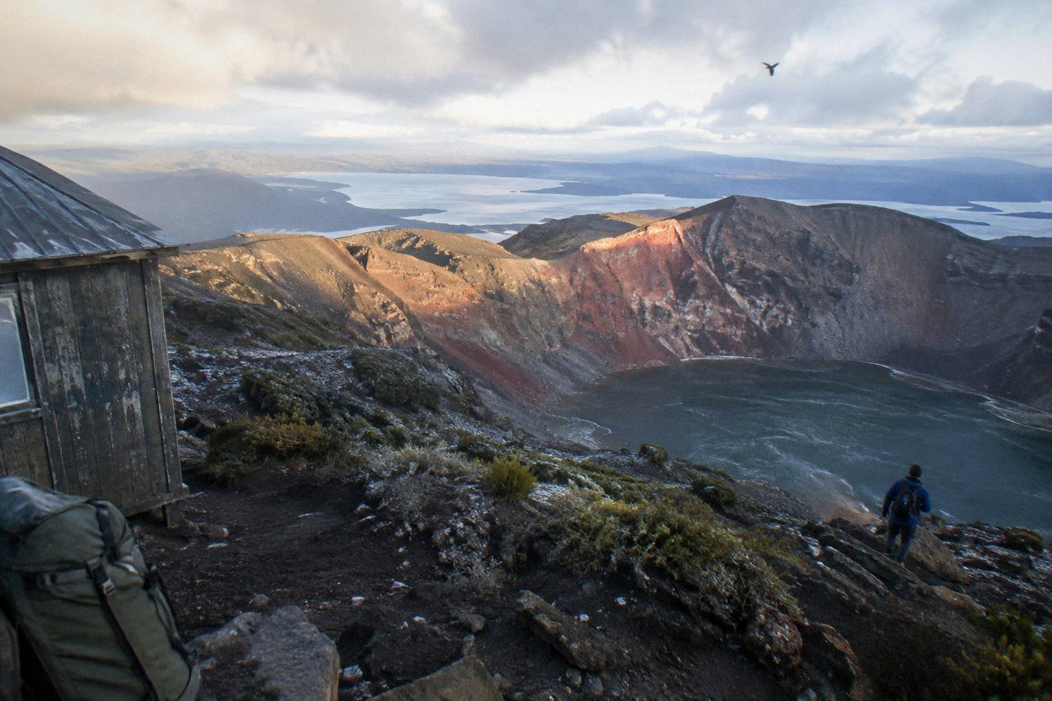
The crater walk rewards a different curiosity. Kaitiaki's own FAQ describes the journey in detail: about 30 minutes' drive from Rotorua to the base of the 4WD track, then roughly 8.2 km of bumpy off-road driving, a base camp stop with a composting toilet where walking sticks are handed out, and then the hikoi, the walk, where the road ends. The summit view is a full 360 degrees in Kaitiaki's description, and the half-day trip includes an optional run down into the crater on the scree.
A third option exists for travellers who want the summit without the walking at all. Volcanic Air's 40-Minute Summit Landing Flight, from NZ$675 per person and rated 4.9 across 43 reviews, flies from the Rotorua lakefront over lakes Okareka, Okataina and Tarawera and touches down for a short guided summit walk, about 20 minutes per the booking page, 15 minutes per the operator page. The landing happens at the pilot's sole discretion and depends on weather, volcanic activity and passenger loadings.
If neither a 15 km track nor a summit appeals, the Kaituna Rafting And Tarawera Crater Walk Combo bundles roughly 1.5 hours of whitewater rafting, about an hour of it on the water, with the same guided crater experience, across about 9 hours with complimentary transport from central Rotorua. It suits travellers building one big activity day rather than choosing between a lake and a volcano.
How Do You Access Each Walk?
The Tarawera Trail starts at the Te Wairoa car park on Tarawera Road, about a 15-minute drive from Rotorua, and you arrange your own return by water taxi or an overnight stay at the Hot Water Beach campsite, as DOC suggests. The crater walk meets at the Main Carpark on Hemo Road, Whakarewarewa, Rotorua, and the booking pages offer free pickup from most central Rotorua accommodation; the trip ends back at the meeting point.
Access is where the two walks diverge hardest. The trail is a drive-yourself start: you park at Te Wairoa, walk 15 km, and either catch a water taxi back, stay the night, or turn around knowing DOC advises against doubling the full distance in a day. No water taxi name, time or price can be given here, so ask locally when you plan the day.
The crater walk is door-to-door by comparison. Pickup from most central Rotorua accommodation appears on the booking pages, though no pickup time or departure time is published anywhere the operator states, so the departure for your date shows during booking. Once at the mountain, the 8.2 km of off-road track means the walk starts high, which is the whole reason a summit trip fits inside 4 hours 30 minutes.
The 1886 eruption is the reason both walks exist in their current form, and understanding it sharpens the choice. On the night of 10 June 1886 the mountain erupted in New Zealand's largest eruption of the last 500 years, in GNS Science's words, and more than 100 people were killed in villages near the mountain. The sound was heard as far as Blenheim and ash fell as far as Christchurch. The trail skirts the lake that eruption reshaped; the crater walk stands on the rift it opened. GNS records the full story on its Tarawera volcano fact sheet, and GeoNet keeps the Okataina volcanic alert level on its volcano monitoring page.
Should the guided summit experience be the one, the Kaitiaki Half-Day 4WD And Crater Walk is the featured trip: Check availability for your date.
How Fit Do You Need To Be For Each Walk?
DOC grades the Tarawera Trail as an advanced tramping track, its second-highest walking grade, over 15 km, so expect a genuine full-day effort with no transport bailout until the far end. The crater walk needs what Kaitiaki calls a medium to moderate fitness level for the summit track, with lighter walking options available instead of the summit, and the booking page excludes low fitness, back problems, heart problems and serious medical conditions.
Two grading languages are at work, and they do not translate. DOC's "advanced" is a track standard, about surface, steepness and remoteness. Kaitiaki's "moderate" is about one specific climb: the summit track above where the 4WD road ends. Benches line the route, and at the second bench the guide shows the summit trail. The rest of the planning pages sit on Mt Tarawera Volcano Hike.
The crater walk's famous obstacle is the scree. Kaitiaki's FAQ describes it as "a 45 degree slope approximately 400m deep", and that wording belongs to the operator alone, as an experience description rather than a survey measurement. The ground is volcanic scoria that can be slippery, and two sections of about 50 m need four points of contact, meaning hands as well as feet. Guests who would rather skip that can take the lighter options; no one is pushed to the top.
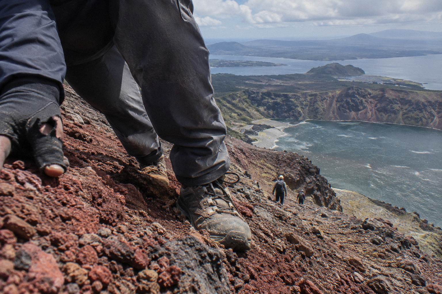
Age limits split the two trips cleanly. The Kaitiaki half day carries a minimum age of 7 as the operator states, while the Kaituna combo that adds rafting raises the minimum to 13. Neither trip suits a low-fitness day. For a fuller breakdown of the climb itself, see how hard the crater walk really is.
For context on fitness expectations at another North Island volcano, tongariroalpinecrossingtours.com covers a longer alpine crossing that some travellers weigh against shorter volcanic walks.
What Are The Rules On Each Route?
On the Tarawera Trail, dogs, bikes and vehicles are not permitted, DOC notes occasional rock falls, and the beach at the end has patches of very hot sand. On the crater walk, the rules come from the operator and the land trust: minimum age 7, medical exclusions on the booking page, sturdy footwear advised, and no snacks or provided food beyond what you carry, because Kaitiaki provides none.
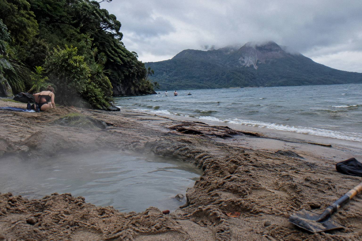
The trail's rules are standard DOC conservation rules, plus one local hazard worth repeating: the sand at Hot Water Beach is geothermally heated in patches, hot enough that DOC flags it explicitly. Digging into it is not something any official page recommends. There is no entry fee to walk the track itself; campsite stays are a DOC matter with their own fees, so check DOC's Tarawera Trail page before an overnight plan.
The crater walk's kit list, from Kaitiaki's FAQ, is short: sturdy walking shoes, sturdy trainers are fine, comfortable clothing for the weather, a bottle of water and snacks, because none are provided. Anyone prone to motion sickness on the off-road drive should tell the guide. The packing detail sits in the companion guide on what to wear and bring on the crater walk.
Cancellation terms are simple and identical across the whole six-trip range covered here: free cancellation up to 24 hours on the booking page. Beyond that window, the booking page governs.
Can You Do Both Walks In One Day?
Realistically, no. The Tarawera Trail is a 15 km point-to-point advanced track that DOC suggests pairing with a water taxi or a campsite stay rather than doubling in a day, and the crater walk occupies 4 hours 30 minutes with drive time to Hemo Road or a pickup before it. Attempting both in a single day would mean finishing the lake track and immediately joining an afternoon summit trip, a schedule no operator page supports.
The clean plan is two days. Day one, the crater walk: picked up centrally, driven up, guided to the summit, back in Rotorua by early afternoon with the whole day's story intact. Day two, the trail: an early start from Te Wairoa, 15 km of bush and lake, a night or a water taxi at the far end.
Travellers with only one day should pick by ambition. The summit is the once-only experience; a lake shore can be walked almost anywhere. Travellers who want the lake without the 15 km can look at the Hot Water Beach and crater walk day trip guide for how the two combine by boat rather than boots.
A middle path also exists for the day-pressed: swap the long trail for a flight. The Volcanic Air 1-Hour Mountain Landing Flight, no price shown, gives about 20 minutes on Mt Tarawera after a helicopter flight from the Rotorua lakefront, with a pilot-guide and headsets. The landing, like every Volcanic Air landing, happens at the pilot's sole discretion.
What Does Each Option Cost?
The Tarawera Trail itself has no tour price, because it is a public track; you pay for transport choices and any campsite stay, which DOC administers. The crater walk shows no price in advance: the booking page shows the amount for your date. For comparison among paid summit formats, the 40-minute helicopter landing flight starts from NZ$675 per person and the floatplane flyover, no landing, from NZ$395 per person.
That pricing spread is really a format spread. The floatplane flyover, rated 4.8 across 48 reviews, is a 30-minute scenic flight over Mt Tarawera and the volcanic landscape with pilot commentary, and it does not land on the mountain, which matters to anyone who wants to stand on the summit. The dual landing flight, from NZ$1,490 per person, adds a ferry to Orakei Korako and an hour there.
| Option | Format | Duration | Price shown | Rating shown |
|---|---|---|---|---|
| Tarawera Trail | Unguided DOC tramping track, 15 km | Full day or overnight | No tour price | No rating |
| Kaitiaki Half-Day 4WD And Crater Walk | Guided 4WD and summit walk | 4 hours 30 minutes | Booking page shows your date | 4.9 across 359 reviews |
| Kaituna Rafting And Crater Walk Combo | Rafting plus guided summit walk | About 9 hours | Booking page shows your date | None shown |
| 40-Minute Summit Landing Flight | Helicopter, summit landing | 40 minutes | From NZ$675 per person | 4.9 across 43 reviews |
| 1-Hour Mountain Landing Flight | Helicopter, mountain landing | 1 hour | Booking page shows your date | None shown |
| Tarawera Scenic Floatplane Flyover | Floatplane, no landing | 30 minutes | From NZ$395 per person | 4.8 across 48 reviews |
| Tarawera And Orakei Korako Dual Landing | Helicopter, two landings | 3 hours | From NZ$1,490 per person | None shown |
Every trip in that table carries free cancellation up to 24 hours on the booking page, which softens a weather-dependent purchase considerably. Ratings are shown with their review counts and never compared as better or worse; a figure without a count appears nowhere.
For a fuller costing picture on the crater side, including what the price of the half day covers, see the crater walk cost and inclusions guide.
The flyover earns its place in the mix for travellers whose priority is seeing the 1886 rift from above rather than standing in it. As a companion to a lake-side day, it pairs neatly with a morning on the trail's early kilometres.
Which Months Suit Each Walk?
Both walks suit the warmer, drier half of the New Zealand year, with Rotorua's driest month being November at 86.8 mm of rain against July's 137.4 mm and July's mean daily maximum of 12.0 °C well below February's 23.1 °C. Note those figures describe the town near 280 m elevation, so expect the 1,111 m summit to run colder and windier, and the lake track to add shade and mud.
Summer, December through February, gives the trail its swimming weather at Hot Water Beach and the summit its most forgiving footing. Winter walks happen, but the scoria that can be slippery on a dry day gets worse wet, and the lake track's advanced grade assumes a competent party in any season. Rain falls on about 118.6 days a year in Rotorua town, roughly one day in three, so a waterproof belongs in the pack in every month.
| Month | Mean daily max (C) | Rainfall (mm) |
|---|---|---|
| January | 22.9 | 93.8 |
| February | 23.1 | 100.4 |
| April | 18.1 | 133.0 |
| July | 12.0 | 137.4 |
| October | 16.4 | 92.9 |
| November | 18.6 | 86.8 |
| Month notes | |
|---|---|
| Driest month | November, 86.8 mm |
| Wettest month | July, 137.4 mm |
| Warmest month | February, 23.1 °C mean daily max |
| Coolest month | July, 12.0 °C mean daily max |
Weather also governs the flights, in a different way. Volcanic Air's landing flights depend on weather, volcanic activity and passenger loadings, with landings at the pilot's sole discretion, so a marginal day that merely dampens a walk can cancel a landing outright. Free cancellation up to 24 hours helps, but a same-day weather call still belongs to the operator. The weather and crater walk guide covers how those calls tend to run, and the month-by-month planning guide goes deeper than the table above.
Common Mistakes When Choosing Between The Two
The recurring mistakes are simple: booking the crater walk expecting a 15 km lake-side tramp, or booking the trail expecting to reach the volcano's summit; assuming the trail's 15 km applies to the crater walk, which it never does; planning to walk both directions of the trail in a day against DOC's advice; and assuming a helicopter landing is guaranteed when every landing sits at the pilot's sole discretion.
The first mistake causes the most disappointment. Arriving at Te Wairoa car park with a summit in mind means arriving at the wrong walk entirely; the trail keeps to the lake edge for its full length and never climbs the mountain. The reverse error stings too: turning up at Hemo Road expecting a long solitary tramp means getting a 4WD ride and a guided 90-minute crater walk, which is a fine day, just a different one.
The second tier of mistakes is logistical: forgetting the trail is point-to-point with no road at the Hot Water Beach end, underestimating the 8.2 km of bumpy off-road approach on the crater side, or assuming food appears on the mountain when Kaitiaki provides no snacks at all. Bring water and snacks, wear real shoes, and treat the composting toilet at base camp as the last one before the scree.
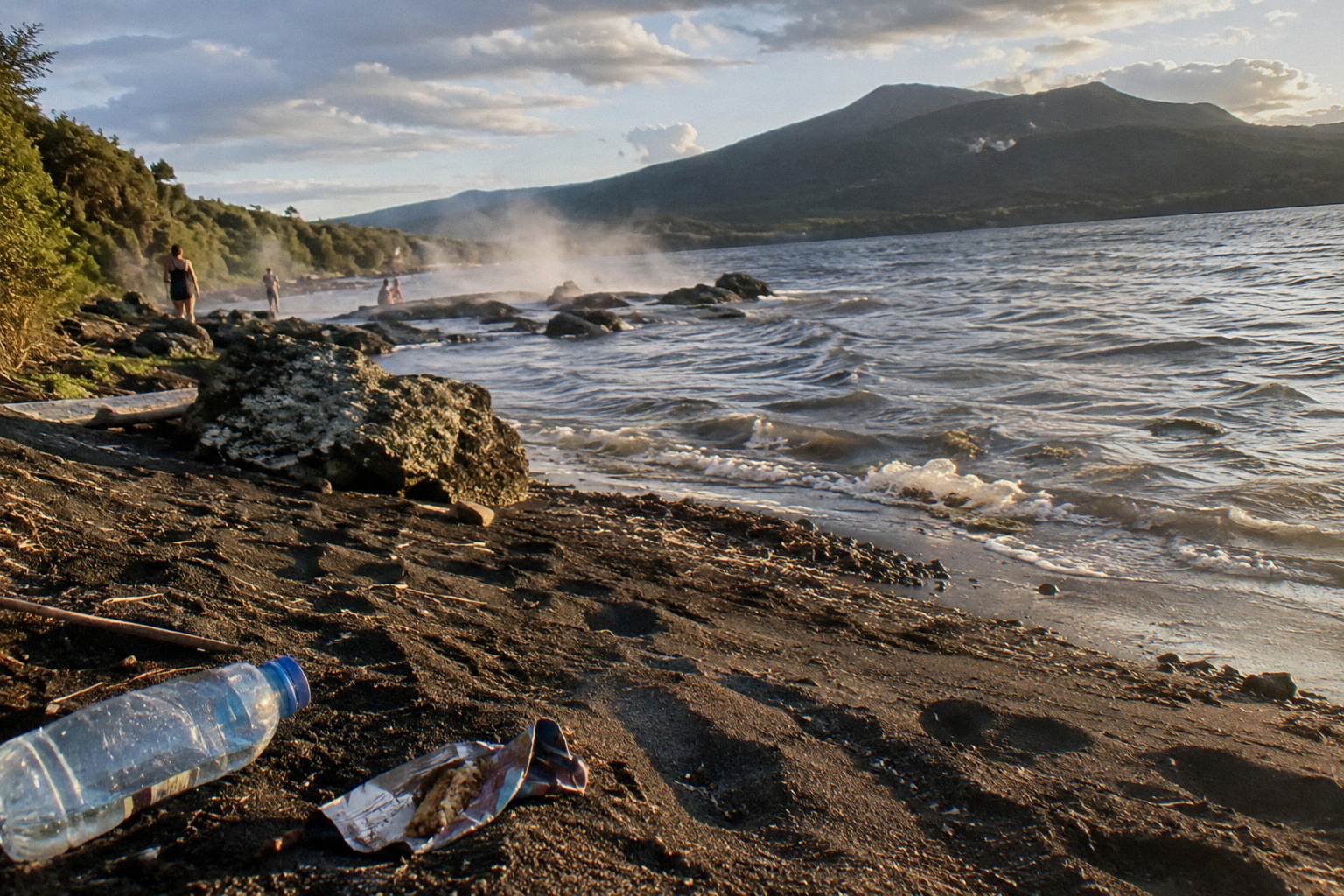
The third tier is expectation. The summit is a volcanic landscape of rock and rift, not a steaming crater rim from a film set; GeoNet publishes the current volcanic alert level for the Okataina caldera, so check it before you travel, and GNS describes Tarawera as a dome volcano inside an active caldera. The trail, by contrast, delivers bush, lake and quiet, plus a beach with genuinely hot sand. Matching the expectation to the landscape is the whole trick.
For background reading before choosing, the story of the 1886 eruption and the crater walk explains why the mountain looks the way it does, and the operator's own conservation page at kaitiaki.co.nz sets out the concession and trust relationship behind every guided summit trip.
Common Questions About The Two Tarawera Walks
Is The Tarawera Trail The Same As The Mt Tarawera Crater Walk?
No. The Tarawera Trail is a 15 km DOC advanced tramping track along the Lake Tarawera shore from the Te Wairoa car park to the Hot Water Beach campsite. The crater walk is a guided Kaitiaki half-day trip, 4 hours 30 minutes, driven up the mountain by 4WD and walked to the 1,111 m summit. The trail never climbs the volcano.
Can You Walk The Tarawera Trail And Do The Crater Walk On The Same Day?
Realistically no. DOC suggests a water taxi or an overnight campsite stay rather than walking the 15 km trail in both directions in one day, and the crater walk occupies 4 hours 30 minutes plus pickup and drive time. Two separate days is the workable plan.
Is The Tarawera Trail Harder Than The Crater Walk?
They are hard in different ways. DOC grades the trail as an advanced tramping track over 15 km, a full-day commitment. The crater walk needs a medium to moderate fitness level in Kaitiaki's words, with lighter walking options instead of the summit, though the scree is described by the operator as a 45 degree slope approximately 400m deep.
Do You Need A Guide For The Tarawera Trail?
No, the trail is a self-guided DOC tramping track, with no guide requirement stated by DOC. The crater walk is different: the mountain is private land governed by the Ruawahia 2B Trust, and access runs through guided concession trips such as the Kaitiaki half day.
Are Dogs Allowed On The Tarawera Trail?
No. DOC states that dogs, bikes and vehicles are not permitted on the Tarawera Trail. Occasional rock falls are also noted on the DOC track page.
What Does The Crater Walk Cost Compared With The Trail?
The trail has no tour price, though campsite and water taxi costs sit outside any booking. The crater walk shows no price in advance; the booking page shows the amount for your date. Among paid summit formats, the 40-minute helicopter landing flight starts from NZ$675 per person.