What To Wear And Bring On The Mt Tarawera Crater Walk
The crater walk on Mt Tarawera runs over loose volcanic scoria at 1,111 m, so what goes on your feet and into your day pack matters more than anything else in your planning. Here is the operator's own advice, month by month climate context, and the packing errors that cost people the summit.
Short answer
Wear sturdy walking shoes, sturdy trainers are fine, and comfortable clothing for the weather, then carry a bottle of water and snacks because Kaitiaki Adventures provides none. Walking sticks are handed out at the base camp stop. The summit sits at 1,111 m and is colder and windier than Rotorua town at about 280 m, so dress for a climate one or two steps beyond the car park.
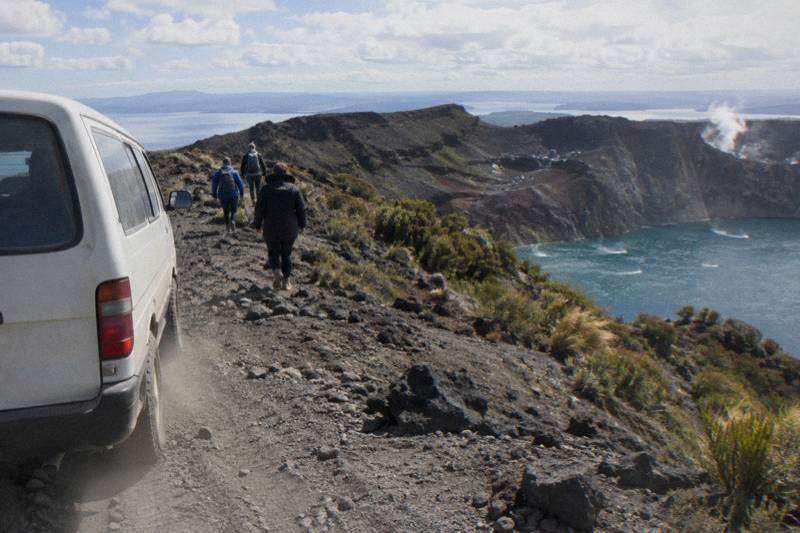
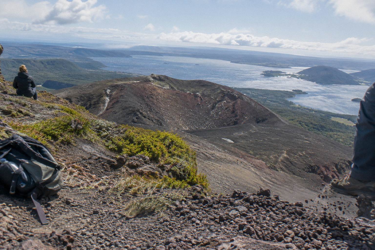
The summit of Mt Tarawera stands at 1,111 m, and every metre of the walking track above the road end is volcanic ground: scoria, gravel and patches of loose scree that the operator's own FAQ describes as a 45 degree slope approximately 400 m deep. That single fact shapes everything you put on your body and into your pack. Get the footwear right and the day is straightforward. Get it wrong and the same slope becomes a long, cautious descent with sore ankles at the bottom.
The guidance below leans on the operator's own published bring list for the guided crater walk, the Kaitiaki Adventures FAQ, plus the 1991 to 2020 climate normals for Rotorua town so you can place your travel dates against real monthly numbers. Those climate figures describe the town at about 280 m elevation, not the mountain itself. The summit is colder and windier than the town, and no source publishes a summit temperature, so treat the town numbers as a floor to dress above, never a ceiling.
What To Wear On The Mt Tarawera Crater Walk
Wear sturdy walking shoes on your feet, and know that sturdy trainers are explicitly fine by the operator, plus comfortable clothing matched to the weather rather than to any dress code. There is no specialist kit requirement for the guided crater walk: the mountain cares about grip and warmth, not brands. The two sections of about 50 m that need four points of contact are the reason grip leads every list.
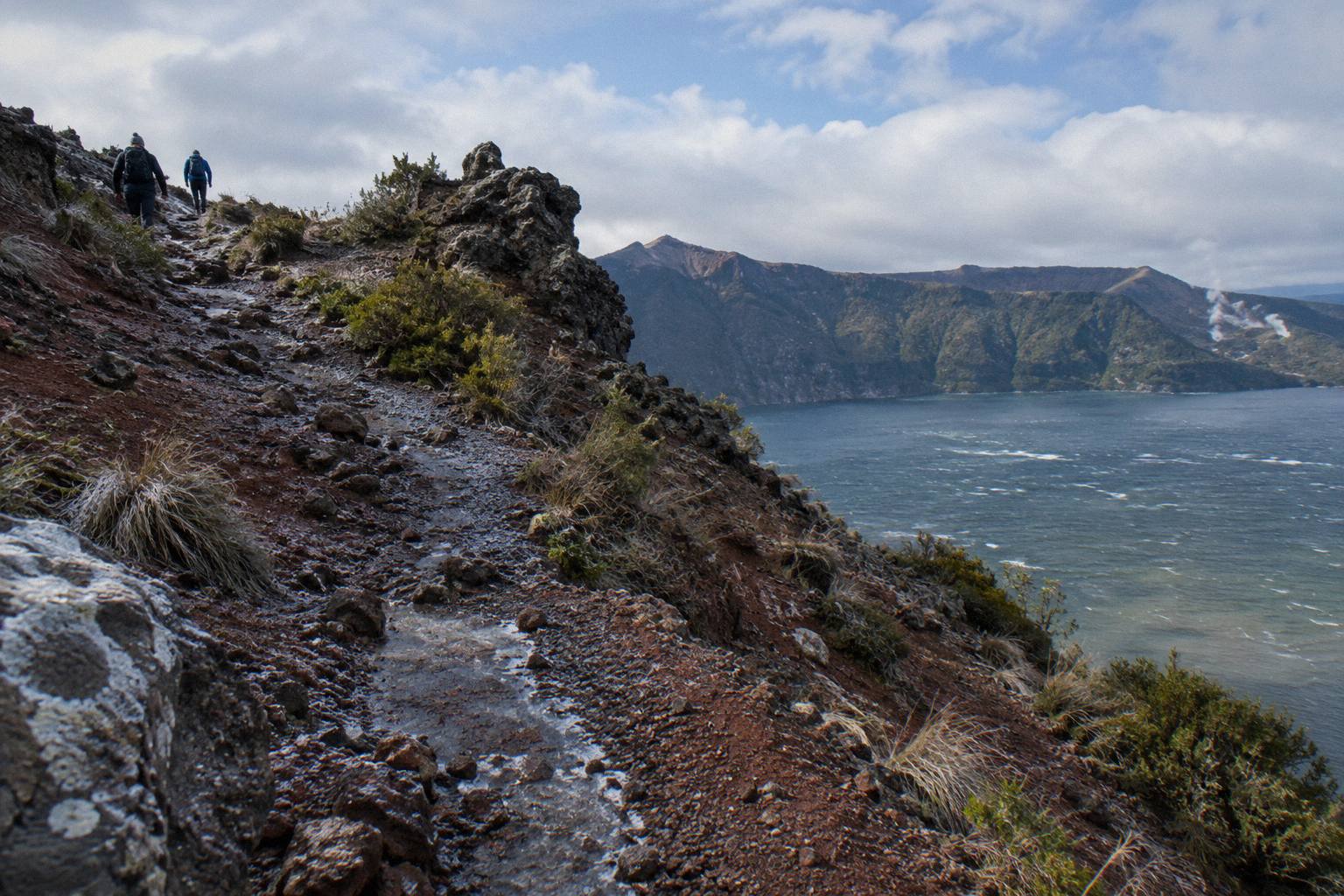
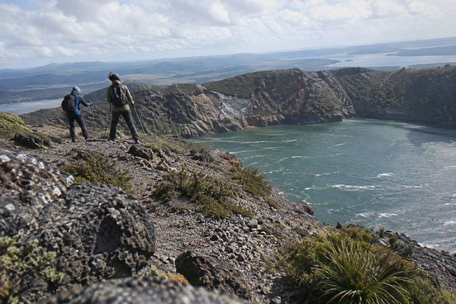
Kaitiaki Adventures keeps its clothing advice deliberately simple: comfortable clothing for the weather. That phrasing deserves unpacking, because the weather at the trailhead and the weather on Ruawahia Dome, the highest of the mountain's three domes at 1,111 m, are rarely the same thing. A calm, warm morning in Rotorua town can still mean wind on the crater rim, and the walking portion of the half day trip, about 90 minutes of guided crater walking per the booking page wording, sits fully exposed to it.
The practical reading of "comfortable clothing for the weather" is layers you can add and remove at the base camp stop, where the vehicle pauses, a composting toilet is available and walking sticks are handed out. You do not need alpine equipment. You do need to be able to cover your arms when the wind picks up on the rim, and to shed a layer during the roughly 8.2 km of off-road driving when the vehicle is warm and the sun is on the windows.
There is a good overview of the whole decision, walking versus a helicopter landing, in the format comparison for Mt Tarawera tours, and a full walk-through of the day itself in the step-by-step crater walk account. Both are worth a skim before you finalise a packing pile.
| Item | The operator's wording | Why it matters on scoria |
|---|---|---|
| Sturdy walking shoes | "Sturdy walking shoes (sturdy trainers are fine)" | Ground is volcanic scoria and can be slippery; ankle support beats fashion |
| Comfortable clothing | "Comfortable clothing for the weather" | The summit is colder and windier than the town; layers let you adjust at base camp |
| Bottle of water | Listed on the FAQ bring list | No snacks or drinks are provided, and the walk runs about 90 minutes at altitude |
| Snacks | "Snacks (none provided)" | The half day runs 4 hours 30 minutes door to door; bring your own fuel |
| Motion sickness note | "Tell the guide" if prone | The 4WD track is roughly 8.2 km of deliberately bumpy off-road driving |
Footwear For Volcanic Scoria
Volcanic scoria is loose, sharp-edged and, in the operator's words, "can be slippery", so the single most important clothing decision you make is your shoes. Kaitiaki Adventures states that sturdy trainers are fine, which means you do not need to buy boots for one guided day. What you do need is a sole with real tread and a upper that keeps gravel out.
The scree deserves respect in both directions. Going up, loose ground rewards a planted heel and a shoe that grips on dry gravel. Coming down, the operator describes the scree as a 45 degree slope approximately 400 m deep, and the optional run down into the crater, a signature moment of the trip, sends you sliding through loose material at speed. Old, smooth-soled trainers are the footwear failure mode here: they turn every step into a skid.
Two sections of about 50 m each need four points of contact, hands and feet, per the operator's FAQ. That is a scramble rather than a climb, but it confirms the general rule: closed, sturdy shoes with grip, not sandals, not canvas slip-ons. If you own proper hiking boots, wear them. If you own a well-worn pair of running shoes with tread left on them, the operator says that is fine, and plenty of guests take that option.
One packing trick that costs nothing: gaiters, or even a pair of thick socks pulled over trouser cuffs, keep scoria out of your shoes on the descent. The material is small and sharp, and it finds its way into every opening. Guides see this daily, and the fix is simple preparation rather than expensive gear.
If you are still weighing whether the whole outing suits your fitness and footwear comfort, the detailed breakdown in the crater walk difficulty and fitness guide covers the terrain in the same operator-sourced terms.
Clothing By Season: Town Normals And The Summit Gap
Rotorua town averages a mean daily maximum of 23.1 °C in February and 12.0 °C in July, but those figures describe the town at about 280 m, not the summit at 1,111 m, which is colder and windier. No summit forecast is published, so dress a step warmer than the Rotorua town numbers suggest for your month. Never treat any month as guaranteed warm at the top.
The table below is the full set of 1991 to 2020 climate normals for Rotorua town, drawn from the Wikipedia table compiled from Earth Sciences NZ data. Use it to sanity-check your packing against your travel month, then add a windproof layer for the crater rim regardless of what the town row says.
| Month | Mean daily maximum C | Mean daily minimum C |
|---|---|---|
| January | 22.9 | 12.6 |
| February | 23.1 | 13.1 |
| March | 21.1 | 11.1 |
| April | 18.1 | 8.7 |
| May | 15.2 | 6.6 |
| June | 12.7 | 4.4 |
| July | 12.0 | 3.7 |
| August | 12.8 | 4.1 |
| September | 14.5 | 5.8 |
| October | 16.4 | 7.4 |
| November | 18.6 | 9.0 |
| December | 20.8 | 11.5 |
Two caveats are worth knowing before you pack. First, it is a town record: the summit is colder and windier than the town, and the gap on any given day can be large, so a February town maximum of 23.1 °C is not a summit promise. Second, a monthly normal is an average, not a forecast. A summer cold front can deliver a July-quality day in January, which is exactly why "comfortable clothing for the weather" translates into layers you can work with at the base camp stop rather than one outfit chosen the night before.
Rain is the other half of the clothing question. The town records about 1,355.6 mm of rain a year spread over about 118.6 rainy days, which averages out to rain on roughly one day in three in every season. The monthly spread matters more than the annual total:
| Month | Average rainfall mm |
|---|---|
| January | 93.8 |
| February | 100.4 |
| March | 100.3 |
| April | 133.0 |
| May | 130.2 |
| June | 131.9 |
| July | 137.4 |
| August | 125.2 |
| September | 106.6 |
| October | 92.9 |
| November | 86.8 |
| December | 117.1 |
November is the driest month at 86.8 mm and July the wettest at 137.4 mm, but no month is dry enough to leave a rain layer behind. A light rain shell does double duty on the crater rim: it blocks rain and it cuts the wind, and wind is the more reliable of the two at 1,111 m. Wet scoria is also more demanding underfoot than dry scoria, which loops straight back to the footwear section above.
Free Cancellation Means You Can Pack Early
One practical note while you assemble gear: every trip covered on these pages carries free cancellation up to 24 hours on the booking page, so you can lock in a date, pack against the forecast, and still adjust if the forecast turns. Weather calls on the day belong to the operator, and departure arrangements are not published in advance, so confirm timing when you book.
The half day format pairs well with a morning spent assembling exactly what the operator asks for, because the meeting point, the Main Carpark on Hemo Road in Whakarewarewa, is a short drive from central Rotorua accommodation, and the booking pages offer free pickup from central Rotorua stays. Arrange the pickup when you book rather than assuming a time.
What To Bring: The Full Packing Picture
The operator's bring list is five lines long: sturdy walking shoes, comfortable clothing for the weather, a bottle of water, snacks, and a word to the guide if you get motion sick. That is the whole published list. Nothing about sunscreen, hats or cameras is prohibited, and guests commonly carry all three, but the operator's own FAQ commits only to those five items, so treat anything beyond them as your judgement call.
Sunscreen deserves a place in that judgement call, and the reasoning is physical rather than commercial. The walk happens on a bare volcanic surface with no tree cover, at altitude where UV is stronger than at the lakefront, on ground that reflects heat back up at you. A hat and sunscreen cost almost nothing to carry and address the most common comfort complaint on high, exposed ground.
A camera or phone is worth a secure pocket rather than a loose one. The 360 degree views from the summit take in the lakes district on a clear day, and the scree run, if you take the optional descent into the crater, is not the place to be fishing a phone out of an open side pocket. Small, zipable, worn on the front: that is the standard formula guides see work.
Water deserves a specific quantity thought. The guided crater walk is about 90 minutes per the booking page wording, inside a 4 hours 30 minute trip, and Kaitiaki states plainly that it provides no snacks and no drinks. There is a composting toilet at the base camp stop, and that is the only facility mentioned anywhere in the operator's FAQ, so plan hydration around it and carry more water on a warm day than seems necessary at the car park.
The answer to whether the outing justifies the effort of all that packing is covered from a value angle in the crater walk cost and inclusions guide, which sets out what transport and guiding the fare covers against what stays in your pack.
Walking Sticks, Layers And The Base Camp Stop
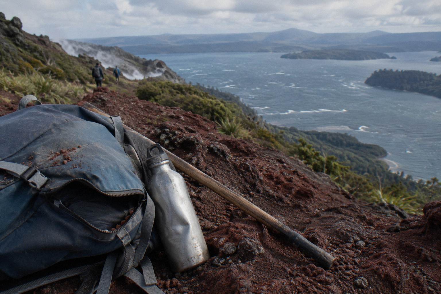
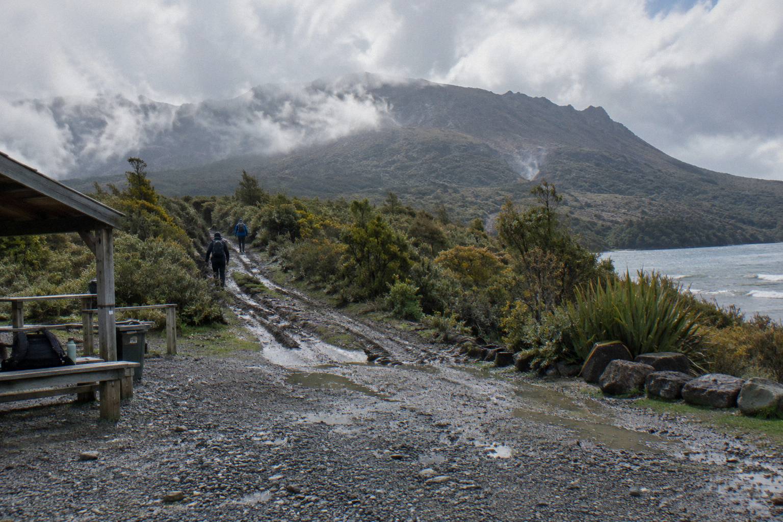
Walking sticks are handed out at the base camp stop, so you do not need to bring your own, and the same stop is where the operator suggests you settle layers before the walking begins. Base camp sits after roughly 8.2 km of off-road driving and before the track proper, with a composting toilet available. Think of it as the one checkpoint where your whole clothing and kit plan gets a final adjustment.
The sticks matter most on the descent. Going down the scree, a stick gives you a third point of contact on ground that shifts underfoot, and guests who decline one on the way up frequently ask for one on the way down. There is no charge and no fuss to taking one, and returning it is part of the routine at the end of the walk.
Layers work best when they are accessible at base camp rather than buried at the bottom of a pack. The sequence of the half day explains why: a warm vehicle ride on the 4WD track, a stop at base camp, then an exposed walk at altitude. The layer you want in the vehicle is rarely the layer you want on the rim. Pack so the windproof layer is the first thing you can reach, not the last.
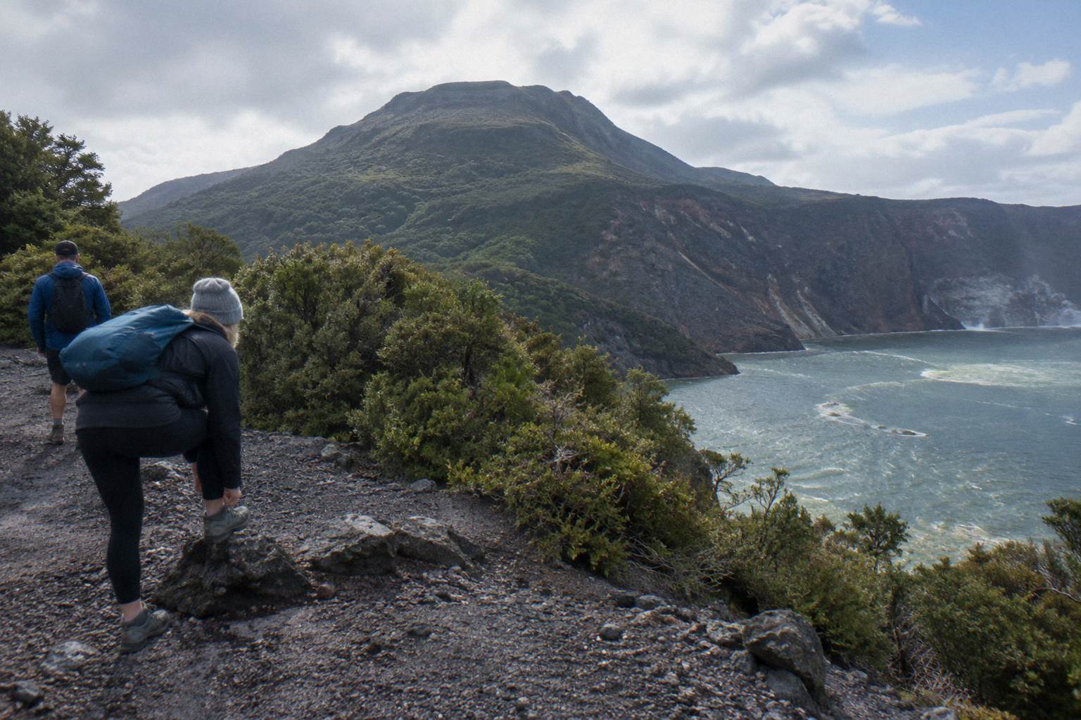
The drive to the mountain is about 30 minutes from the Hemo Road meeting point to the base of the 4WD track, then the roughly 8.2 km of off-road climbing begins. Anyone prone to motion sickness should take the operator's FAQ wording seriously and tell the guide, because that track is intentionally rough and it is the part of the day guests most often underestimate.
Motion Sickness And The 4WD Track
The operator's FAQ carries a specific motion-sickness warning that asks guests to tell the guide, and the reason is the roughly 8.2 km of deliberately bumpy off-road road between the base of the track and base camp. This is the one medical-adjacent item on the whole bring list. If you know rough vehicle motion affects you, say so at the meeting point, not halfway up the mountain.
The drive is part of the experience, and Kaitiaki's FAQ describes it as roughly 8.2 km of bumpy off-road travel in a 4WD vehicle. For most people it is a highlight: the road climbs through the mountain's lower flanks and ends where the walking starts, and the operator frames the road's end as the beginning of the hikoi, the walk itself. For a minority, the same motion pattern is genuinely difficult, hence the explicit FAQ line.
Practical mitigation is ordinary travel sense taken seriously. Sit where you can see the road ahead, take any remedy you normally use well before boarding, keep water accessible, and tell the guide early. The guide cannot reshape the track, but knowing who is struggling changes how the vehicle is driven and how the base camp stop is paced. The FAQ exists because guests who stayed silent had worse days, and the fix costs one sentence at the meeting point.
Helicopter Landing Flights: What Changes
If you fly instead of walking up, the footwear and wind advice stays the same and the motion-sickness advice inverts: the rough part becomes a helicopter flight, and the landing itself is at the pilot's sole discretion per Volcanic Air's own wording. The 40-Minute Summit Landing Flight runs 40 minutes total at from NZ$675 per person, rated 4.9 across 43 reviews, and includes a guided summit walk of about 20 minutes per the booking page.
All amounts in this article are New Zealand dollars. The summit walk is described as 15 minutes on the operator page and about 20 minutes on the booking page, each attributed to its own page, and the difference is small, but it shows why the walking outfit still matters on a flying day: you land at altitude, on the same exposed ground, and you walk it in the same wind.
The packing delta between formats is small but real. On a helicopter landing flight you still want the windproof layer, because the summit stop is short but fully exposed. You do not need the water and snacks plan of the half day walk, since you are airborne again within the hour. And motion sickness on a helicopter is a different problem from motion sickness on a 4WD track, so the same tell-someone rule applies to a different person: tell the crew, not the driver-guide.
Common Packing Mistakes On The Crater Walk
The recurring mistakes are wearing smooth-soled shoes on slippery scoria, dressing for the town at 280 m instead of the summit at 1,111 m, bringing no water or snacks because the fare was assumed to include them, staying silent about motion sickness, and leaving the rain layer behind on a summer date. Every one of these traces back to ignoring one line of the operator's own five-line bring list. Each is free to fix the night before.
The smooth-sole mistake deserves its own sentence because it compounds. Wet or loose scoria under a worn tread turns the descent into a controlled slide, and the operator's optional crater run makes grip the difference between delight and bruising. The town-versus-summit mistake is quieter: people board in shorts and a t-shirt on a 22 °C morning in town and meet a rim wind that makes 90 minutes of walking miserable. The fix is one warm layer and one wind layer, carried, not worn.
The water and snacks mistake comes from assuming the fare covers food. Kaitiaki states it provides none, and the FAQ says so in those terms. The motion-sickness mistake is silence. The rain-layer mistake comes from reading a town forecast and forgetting the 1,355.6 mm annual total lands somewhere near your date on more days than not. Pack against all five and the mountain rewards you with the part that needs no packing at all: the view.
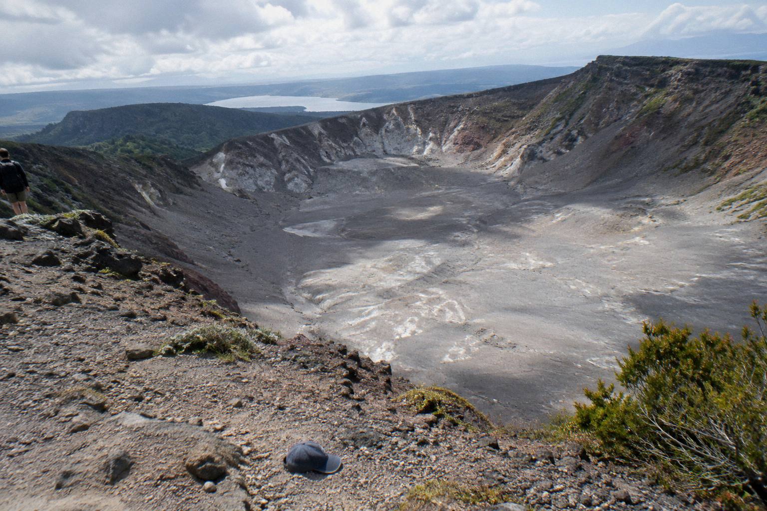
If you want the day's fuller context before you pack, the eruption history of 1886 and the crater walk explains why the ground under your boots looks the way it does, and it adds a layer of meaning to the walk that no gear list can. The Mt Tarawera Volcano Hike pages exist to hold all of that in one place.
The GNS Science volcano fact sheet for Tarawera, which records the 10 June 1886 eruption as New Zealand's largest in the last 500 years, is worth reading before any trip up the mountain: GNS Science. For the lake-edge alternative on public land, the Department of Conservation's track page sets out the rules that also shape what you carry: the DOC Tarawera Trail information.
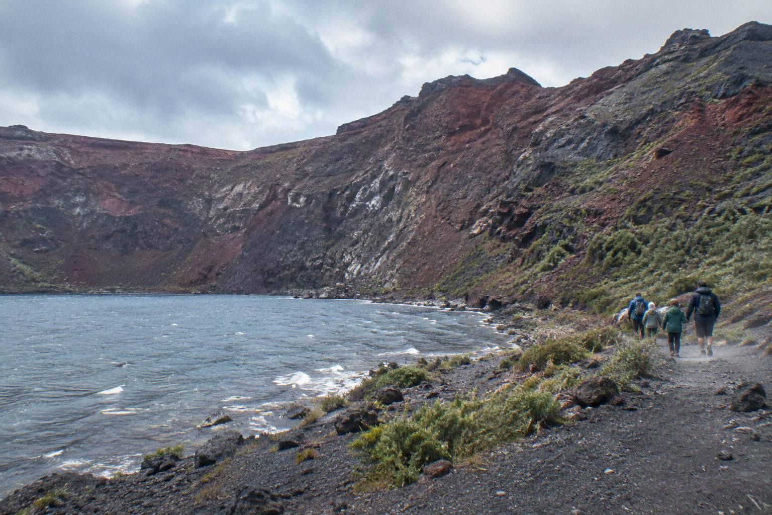
For the full details of the featured half day trip, including its rules on minimum age 7 and fitness suitability, see the Kaitiaki Half-Day 4WD And Crater Walk tour page, and when you are ready, Check availability for your date.
Common Questions About What To Wear And Bring
Do I Need Hiking Boots For The Mt Tarawera Crater Walk?
No. Kaitiaki Adventures states that sturdy walking shoes are the requirement and that sturdy trainers are fine. What matters is tread and a closed upper, because the ground is volcanic scoria that can be slippery, and the scree descent rewards grip more than ankle height.
Are Drinks And Snacks Provided On The Crater Walk?
No. Kaitiaki says plainly that it provides no snacks, and the FAQ bring list asks you to carry a bottle of water and snacks. The trip runs 4 hours 30 minutes in total, with about 90 minutes of guided crater walking, so bring enough for the whole outing.
Are Walking Sticks Provided, Or Should I Bring My Own?
They are provided. Walking sticks are handed out at the base camp stop, which sits after the roughly 8.2 km off-road drive and before the track begins. You do not need to pack your own, and many guests take one for the descent even after skipping it on the way up.
Is It Cold At The Top Of Mt Tarawera?
It is colder and windier at the summit than in Rotorua town, reliably, on almost any day. The published climate numbers describe the town at about 280 m, where July averages a mean daily maximum of 12.0 °C and February 23.1 °C. No source publishes a summit temperature, so pack one warm layer and one wind layer above whatever the town forecast says.
What Should I Wear If Rain Is Forecast?
Keep the same sturdy shoes, since wet scoria is more slippery than dry, and add a rain shell that also blocks wind on the crater rim. The town records rain on about 118.6 days a year with no genuinely dry month, so a light shell is worth carrying even when the forecast looks clear.
What If I Get Motion Sick On The 4WD Track?
Tell the guide. The operator's FAQ carries an explicit motion-sickness warning for the roughly 8.2 km of deliberately bumpy off-road driving between the base of the track and base camp. Saying something at the meeting point lets the guide adjust the driving and the pacing of the stop.