Who Owns Mt Tarawera And Why Is The Guided Hike Required
Mt Tarawera sits on private land governed by Ruawahia 2B Trust, which is why summit trips run as guided concession trips. Here is who is named, in what role, and what that means for a visitor.
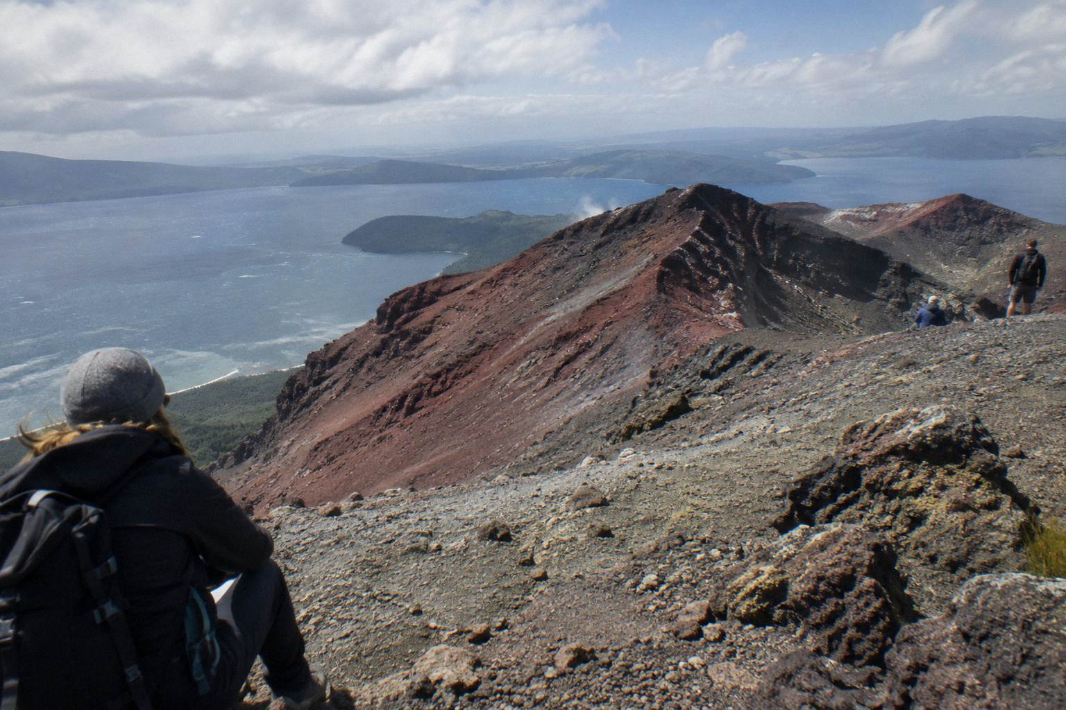
The mountain that dominates the view down Lake Tarawera is not public conservation land, and that fact changes everything about how a visitor reaches its summit. Mt Tarawera sits on private land governed by Ruawahia 2B Trust, with Ngati Rangitihi holding kaitiakitanga, guardianship, of the maunga. The guided trips and helicopter landings a traveller books today exist because of that ownership structure, not despite it. Kaitiaki Adventures and Volcanic Air describe themselves as concessionaires working alongside Ngati Rangitihi, and their trips are the way the summit gets reached on the pages here. Anything beyond that, ask Ruawahia 2B Trust or the operator directly.
The land is private, governed by Ruawahia 2B Trust, with Ngati Rangitihi holding kaitiakitanga of the maunga. The Trust reinvests most tourism concession revenue in conservation, wilding pine removal first, and the summit trips covered here are run by operator concessionaires. There is no official page among those read that authorises unguided walking on the mountain itself.
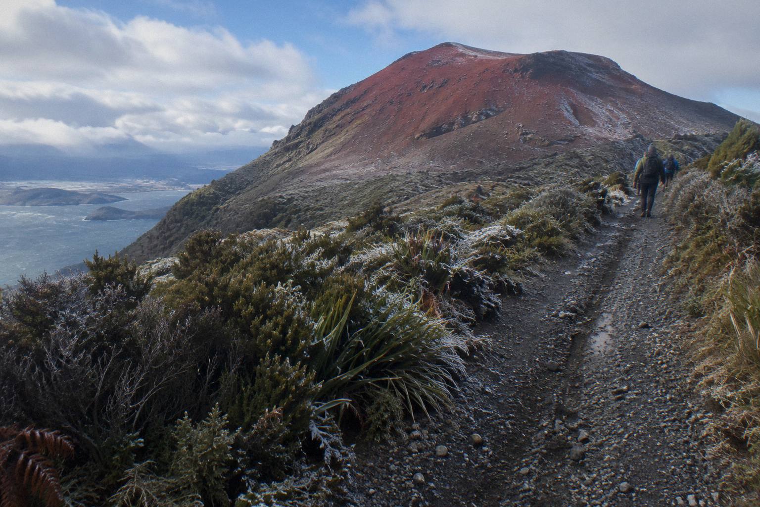
Kaitiaki's conservation page puts the arrangement plainly: Mt Tarawera is on private land, Ruawahia 2B Trust governs the mountain, and the Trust reinvests most tourism concession revenue in conservation, with wilding pine removal named as the first priority. The same page records that Ngati Rangitihi hold kaitiakitanga of the maunga, and that conservation projects on the mountain give work and training to Ngati Rangitihi rangatahi. In the operator's own words, "Kaitiaki Adventures and our partner Volcanic Air are proud concessionaires, working alongside Ngāti Rangitihi." That is the access wording used throughout, attributed each time, because it is the operator's page and the operator's claim.
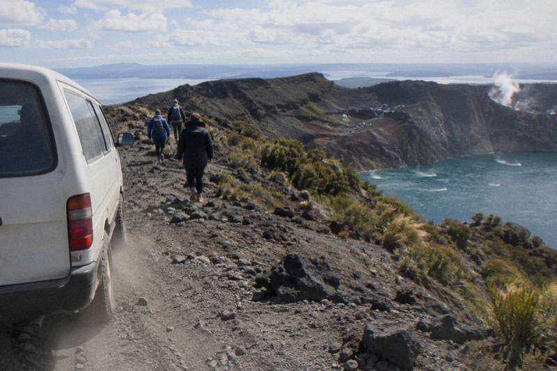
Read that arrangement again with a visitor's eyes. A concession is permission to run trips on someone else's land, and the money from those trips flows largely back into looking after that land. So the guide standing at the front of your group, the 4x4 climbing the rough track, and the helicopter touching down near the summit are all operating inside one commercial and conservation relationship. The guided format is not a marketing choice bolted onto a public walking track; it is the terms under which anyone reaches the top commercially at all.
That point deserves emphasis because it is so often misunderstood. On a public mountain, a guide adds interpretation and safety. Here, the guide and the concession behind the guide are the doorway. Nobody among the official pages read for these articles sets out a route for walking up Tarawera alone, and no claim is made here about permits, fines or legality, only that the operator trips are the way the summit gets covered. For the lake-edge alternative, the Department of Conservation's Tarawera Trail is a different track entirely, a 15 km advanced tramping route from the Te Wairoa car park to the Hot Water Beach campsite, with no dogs, bikes or vehicles allowed.
If you want the full picture of walking up alone, the companion piece on whether the crater walk needs a guide works through the practical side in detail. The short version: the summit trips run with guides because of how the land is held, and the two formats available are a guided walk reached by 4WD, or a helicopter landing, both described below.
The three trips above cover the formats that reach the summit. The Kaitiaki Half-Day 4WD And Crater Walk, 4 hours 30 minutes and rated 4.9 across 359 reviews, takes a 4x4 up the private road and walks the crater rim with a guide. The Kaituna Rafting And Tarawera Crater Walk Combo bolts a whitewater morning onto the same crater walk across 9 hours. The Volcanic Air 40-Minute Summit Landing Flight, from NZ$675 per person and rated 4.9 across 43 reviews, flies from the Rotorua lakefront and aims to land near the summit, with the landing always at the pilot's sole discretion. All amounts on these pages are New Zealand dollars.
Who Runs The Summit Trips And What Each Party Does
Kaitiaki Adventures runs the guided walks, Volcanic Air runs the flights, and both operate as concessionaires alongside Ngati Rangitihi, whose kaitiakitanga the operators acknowledge. Ruawahia 2B Trust governs the mountain and reinvests most concession revenue in conservation. Visitors deal with the operators, never directly with the Trust.
The roles stack up cleanly once you lay them out, and the table below does that using only the wording from the operator's conservation page. Each name appears once, in one role, and nothing beyond that wording is claimed.
| Party | Role on the mountain |
|---|---|
| Ruawahia 2B Trust | Governs the mountain; reinvests most tourism concession revenue in conservation, wilding pine removal first |
| Ngati Rangitihi | Hold kaitiakitanga (guardianship) of the maunga; conservation projects give work and training to rangatahi |
| Kaitiaki Adventures | Concessionaire running guided summit walks reached by 4WD transport |
| Volcanic Air | Concessionaire described by Kaitiaki as its partner; runs helicopter landings and scenic flights |
Notice what is missing from that table: any suggestion of rivalry or ranking. The operator's own page frames the two businesses as partners, working alongside the same iwi under the same Trust, and that framing is kept intact here. A visitor choosing between a walk and a flight is choosing between formats on the same mountain under the same arrangement, not between competing companies fighting over access.
The practical consequence for a traveller is simple. Every question about a booking, a departure, a pickup or a cancellation goes to the operator, and the operator's own booking page carries those answers for your date. Check the booking page for current departure times and pickup arrangements rather than assuming a schedule. The Trust and Ngati Rangitihi appear in the background of every trip, but the commercial relationship a visitor touches is with Kaitiaki Adventures or Volcanic Air.
So does a guided trip fit your plans?
Free cancellation up to 24 hours applies on the booking page for all six trips covered here, which makes committing to a date a lower-stakes decision than many travellers expect.
Can You Walk Up The Mountain Without Going Through An Operator
No official page read for these articles authorises unguided walking on Mt Tarawera itself, and the summit trips covered here are all operator trips. The Department of Conservation's Tarawera Trail is a lake-edge track, 15 km and graded advanced, and it does not reach the summit. For anything outside the operator trips, ask Ruawahia 2B Trust or the operator.
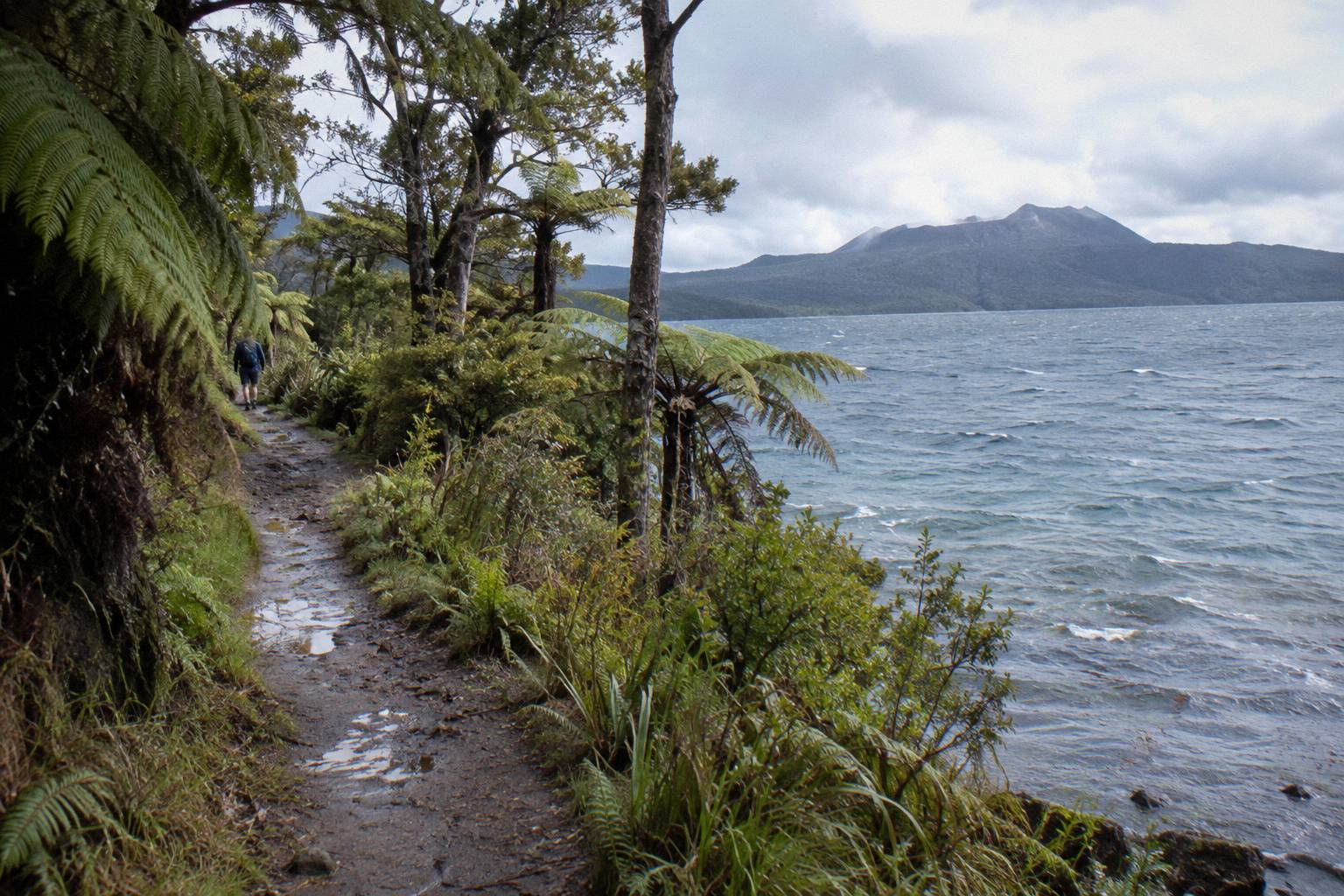
The distinction that trips people up is between the mountain and the lake. DOC's Tarawera Trail page describes a real, well-loved tramping track: 15 km from the Te Wairoa car park to the Hot Water Beach campsite via Te Rata Bay, graded advanced, with a water taxi or an overnight stay suggested over walking both directions in a day. It is a fine day out. It is also a lake-edge route, and it never climbs the domes. Treating it as a substitute for the summit walk is the single most common planning error in the area.
The summit itself, Ruawahia Dome at 1,111 m, sits behind the private-land boundary described above, and the two ways these articles cover reaching it are the guided 4WD-and-walk trips and the helicopter landings. Nothing in the operator or land-trust information describes independent access as banned, illegal or subject to fines, and this page makes no such claim. What the sources do say, in Kaitiaki's own FAQ wording, is how the guided version works: about 30 minutes' drive from Rotorua to the base of the 4WD track, then roughly 8.2 km of bumpy off-road transport, a base camp stop with a composting toilet and walking sticks, and then the walk begins where the road ends.
For walkers who want the full logistics, meeting points, footwear and packing sit in what to wear and bring on the crater walk. The half-day format itself, 4 hours 30 minutes, rated 4.9 across 359 reviews, with no amount shown on the booking page for your date, is the standard first-timer choice, and the price for a specific date appears during booking rather than in advance.
One more layer of protection sits under all of this. GeoNet, the official hazard monitoring service, keeps the Okataina Volcanic Centre, the caldera that contains Tarawera, on a public alert level that can change any day. Operators watch those bulletins, and landings on the mountain are at the pilot's sole discretion depending on weather, volcanic activity and passenger loadings. A guided structure means someone other than you is making that call.
What Kaitiakitanga Means For How The Mountain Is Managed
Kaitiakitanga is guardianship, and Kaitiaki's conservation page says Ngati Rangitihi hold it over the maunga. In practice the page records that most tourism concession revenue is reinvested in conservation, wilding pine removal first, and that conservation projects give work and training to Ngati Rangitihi rangatahi. Visitor dollars therefore feed directly into land care.
The word appears on the operator's conservation page in both languages, and the operator renders it as guardianship. That is the extent of the translation used here, with no place-name meanings or wider history claimed, because those belong to the iwi to tell, not to a travel write-up. What a traveller can take from the page is the money trail: concession revenue in, conservation out, with wilding pines named as the first target. Wilding pines are introduced conifers that spread aggressively across volcanic landscapes, crowding out the native scrub that regrew after 1886, and removing them by hand is labour-intensive work. The wider set of guides lives on Mt Tarawera Volcano Hike.
That is where the rangatahi line matters. Conservation projects on the mountain give work and training to young Ngati Rangitihi people, so the tourism that puts boots on the crater rim also puts wages into hands pulling pines off it. A visitor who books a guided trip is, whether or not they think about it, funding that loop. The alternative framing, that guides exist to extract value from a landscape, gets the arrangement backwards on the operator's own description.
The name of the walking company starts to make sense in that light. A kaitiaki is a guardian, and the operator positions itself as working under the iwi's guardianship rather than alongside it as an equal. Whether that framing satisfies everyone is a question for the parties involved, not for a booking decision. What matters for a traveller is that the trip up the mountain is a working relationship between a Trust, an iwi and two concessionaires, and every one of those parties has a stake in the mountain staying worth visiting.
How The Helicopter Landings Fit The Same Access Rules
Volcanic Air, the partner named on Kaitiaki's conservation page, runs the summit landings and scenic flights, and its mountain landings are concession landings governed by the same Trust arrangement. Every landing happens at the pilot's sole discretion, depending on weather, volcanic activity and passenger loadings, so a touchdown is never guaranteed.
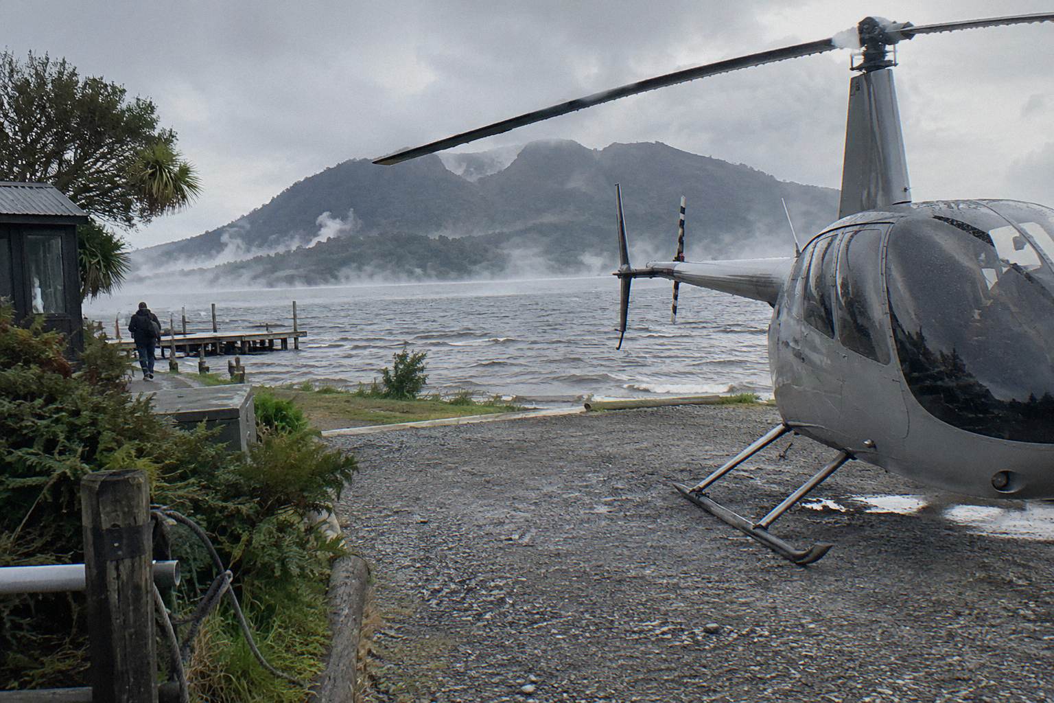
The wording on Volcanic Air's own tour page is unusually direct about the discretion involved: "Tour duration, flight times and inclusions may vary due to weather conditions, volcanic activity and passenger loadings. Excursion landings are undertaken at your own risk and such landings are at your pilot's sole discretion." That is candid, a flight company telling you the mountain decides. The flight still runs if the landing is waved off, and the scenic value of crossing lakes Okareka, Okataina and Tarawera on the way out does not depend on touching down.
The format comparison for a visitor comes down to time and terrain, laid out side by side below using only the figures each booking page carries.
| Trip | Format | Duration | Amount shown |
|---|---|---|---|
| Kaitiaki Half-Day 4WD And Crater Walk | 4x4 ride plus guided crater walk, about 90 minutes of guided walking | 4 hours 30 minutes | On the booking page for your date |
| Kaituna Rafting And Tarawera Crater Walk Combo | Whitewater rafting plus 4x4 and a 90-minute guided crater walk | 9 hours | On the booking page for your date |
| Volcanic Air 40-Minute Summit Landing Flight | Helicopter flight with a guided summit walk of about 15 to 20 minutes | 40 minutes | From NZ$675 per person |
| Volcanic Air 1-Hour Mountain Landing Flight | Helicopter flight with about 20 minutes on the mountain | 1 hour | On the booking page for your date |
| Tarawera And Orakei Korako Dual Landing Flight | Helicopter landing plus ferry and a 1-hour self-guided visit at Orakei Korako | 3 hours | From NZ$1,490 per person |
| Tarawera Scenic Floatplane Flyover | Floatplane flyover, no landing on the mountain | 30 minutes | From NZ$395 per person |
One trades hours for altitude, the other trades altitude for hours, and neither is better, they are different products for different bodies and budgets. The 40-minute landing flight, rated 4.9 across 43 reviews, includes a short guided walk on the mountain, about 20 minutes by the booking page's wording and 15 by the operator's own page, each attributed to its source. The Kaitiaki half-day walk reaches the summit on foot after the 4x4 climb and carries a 4.9 rating across 359 reviews.
The 1-Hour Mountain Landing Flight extends the flying time, with about 20 minutes on the mountain and headsets for the pilot's commentary, at an amount the booking page shows only for your date. At the top of the range, the Tarawera And Orakei Korako Dual Landing Flight, from NZ$1,490 per person over 3 hours, adds a ferry to Orakei Korako with a 1-hour self-guided visit and admission included. And for a flight with no landing at all, the Tarawera Scenic Floatplane Flyover, from NZ$395 per person, rated 4.8 across 48 reviews, is a flyover only, with no landing on the mountain, said plainly each time it appears.
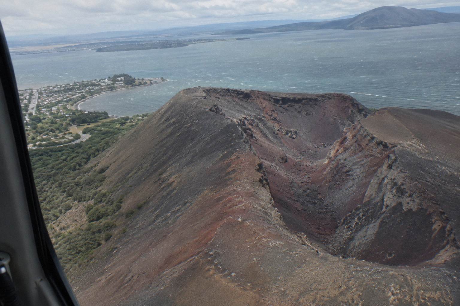
Weight rules differ per product, so check your own numbers against the specific trip: 135 kg per seat on the 40-minute flight, with passengers over 110 kg possibly given specific seating and individual weights taken at booking, and 110 kg total per passenger on the 1-hour flight. Every flight needs a minimum of two adult fares to operate. Infants sit on laps. None of the flights is wheelchair accessible, and for any age question, ask Volcanic Air.
What The 1886 Eruption Left Behind
The eruption of 10 June 1886 was New Zealand's largest in the last 500 years, according to GNS Science, and it killed more than 100 people in villages near the mountain. The sound reached Blenheim and ash fell on Christchurch. The Pink and White Terraces were destroyed, though a small portion of the Pink Terraces was reportedly rediscovered under Lake Rotomahana in 2011.
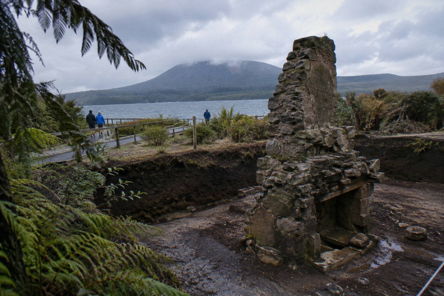
Ownership and guardianship are easier to understand against that backdrop. The mountain that Ruawahia 2B Trust governs today is a ruptured one: GNS Science describes Tarawera as one of the dome volcanoes of the Okataina Volcanic Centre, and the 10 June 1886 eruption tore through the domes and down toward Lake Rotomahana. More than 100 lives were lost in the villages nearby, and the exact total is a matter sources disagree on, so more than 100 is as far as any figure should go. The Buried Village of Te Wairoa, open 10am to 4pm Wednesday to Sunday with last entry at 3.45pm, preserves part of that story on Tarawera Road.
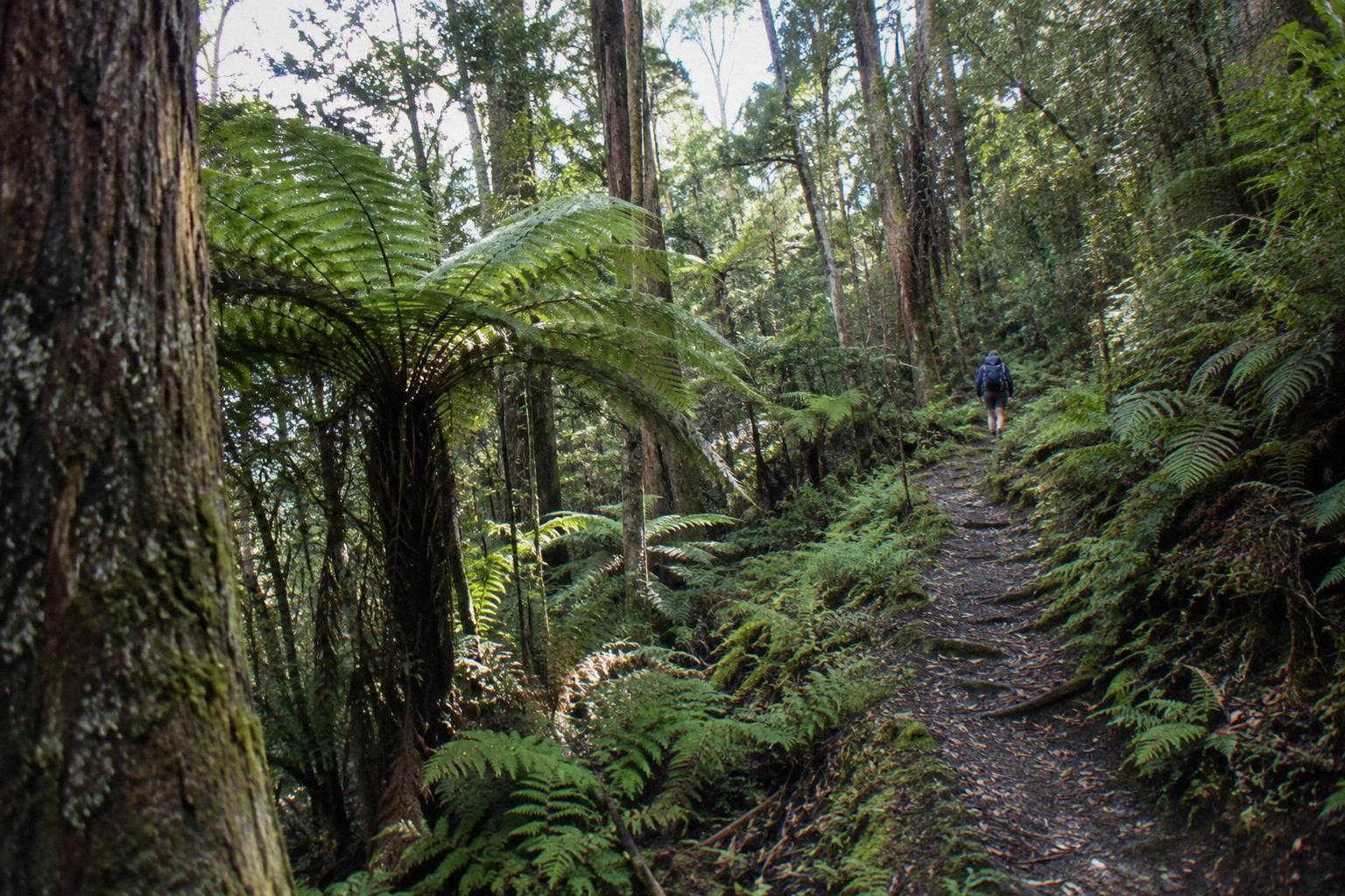
Whether the volcano deserves the word active is a question GeoNet answers with a number, not an adjective. GeoNet publishes the Okataina Volcanic Centre's current volcanic alert level, so check it before you travel, and GNS frames Tarawera as a dome volcano inside an Okataina caldera it describes as active. For the full eruption story, when Mt Tarawera erupted carries the timeline, and the terraces question gets its own treatment in whether the Pink and White Terraces can still be visited.
The eruption also explains the scree. Kaitiaki's FAQ describes the slope guests may run down as a 45 degree slope approximately 400 m deep, in the operator's own wording, on volcanic scoria that can be slippery. Two sections of about 50 m ask for four points of contact. That terrain, plus the private road, plus the concession, is why the mountain is not a casual afternoon stroll, and the fitness question gets a full workover in the crater walk difficulty and fitness guide.
Booking any of the three is low-risk on timing: free cancellation up to 24 hours applies on the booking page for all of them, and every button below reads the same way.
Common Mistakes Visitors Make About Tarawera Access
The recurring errors are treating the lake track as a summit route, assuming the mountain is public land, expecting a guaranteed helicopter landing, and turning up without water or snacks. The DOC Tarawera Trail never reaches the domes, the summit sits on private land governed by a Trust, and Volcanic Air states plainly that landings sit at the pilot's sole discretion.
The lake-versus-summit confusion comes first because it costs a whole day. Somebody who researches "Tarawera walk", finds a DOC page, and sets off from the Te Wairoa car park gets a genuine 15 km advanced tramp to Hot Water Beach, where patches of sand are very hot, and then discovers the mountain itself was never on the itinerary. The fix is to decide early whether the goal is the lake shore or the 1,111 m summit, and book accordingly.
The second mistake is assuming a public right of way up the domes. The pages read for these articles describe private land, a governing Trust, and two concessionaires, and nothing in them sets out a do-it-yourself summit route. The right question is not "can anyone climb it" but "which operator format suits me", and the answer on these pages is the guided walk, the helicopter landing, or the rafting combo. Anything else belongs with Ruawahia 2B Trust or the operators.
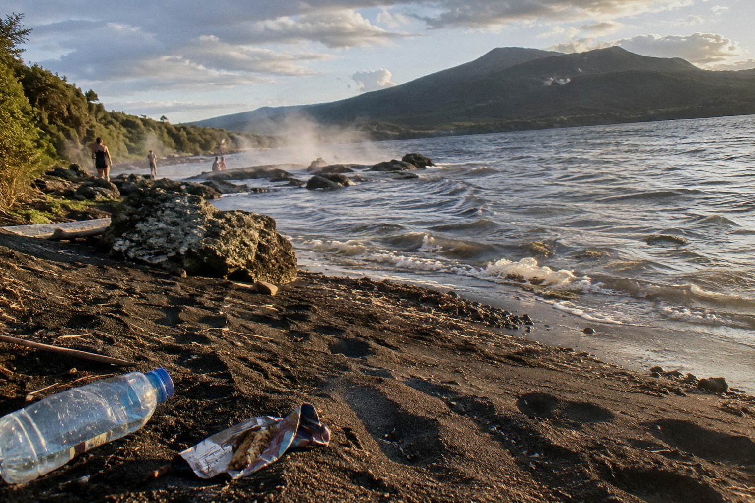
Third, helicopter passengers who miss the small terms. A summit landing flight is sold as a flight with a planned landing, and the operator's own conditions leave that landing to the pilot. Book the flight for the flight, treat the touchdown as the bonus it is described as, and check the weight rules for your product before you pay. Fourth, walkers arriving empty-handed: Kaitiaki says it provides no snacks, so a bottle of water and something to eat go in the day pack, with sturdy shoes and layers for the weather. The full packing logic lives in the what to wear and bring guide.
A final error concerns the calendar. Rotorua's town climate, at about 280 m, averages a daily maximum of 12.0 °C in July against 23.1 °C in February, and July is the wettest month at 137.4 mm of rain against November's 86.8 mm, but the summit at 1,111 m runs colder and windier than those town figures, and no summit temperatures are claimed here. The month-by-month breakdown sits in which months suit a crater walk.
Common Questions About Who Owns Mt Tarawera
Who Owns Mt Tarawera And Why Is The Guided Hike Required?
The mountain sits on private land governed by Ruawahia 2B Trust, with Ngati Rangitihi holding kaitiakitanga. Kaitiaki Adventures and Volcanic Air describe themselves as concessionaires working alongside Ngati Rangitihi, and their guided trips are the way the summit gets reached on the pages here. For anything beyond those trips, ask the Trust or the operator.
Can You Climb Mt Tarawera Without A Guide?
No official page read for these articles authorises unguided walking on the mountain itself. The DOC Tarawera Trail is a separate 15 km advanced lake-edge track that does not reach the summit. The summit trips covered here are operator trips, and questions about any other access route go to Ruawahia 2B Trust or the operators.
Is A Helicopter Landing On The Mountain Guaranteed?
No. Volcanic Air states that excursion landings are at the pilot's sole discretion and depend on weather, volcanic activity and passenger loadings. The flight still operates if the landing is waved off, and the scenic routing over lakes Okareka, Okataina and Tarawera is part of the product either way.
Where Does The Money From Tarawera Tours Go?
By Kaitiaki's conservation page, Ruawahia 2B Trust reinvests most tourism concession revenue in conservation, with wilding pine removal named first, and conservation projects give work and training to Ngati Rangitihi rangatahi.
Is Mt Tarawera An Active Volcano?
GeoNet publishes the current volcanic alert level for the Okataina Volcanic Centre, the caldera containing Tarawera. Check it before you travel. GNS Science describes Tarawera as a dome volcano inside a caldera it calls active. The mountain's last great eruption was on 10 June 1886.
What Is The Cheapest Way To See The Mountain?
Among the trips with published amounts, the Tarawera Scenic Floatplane Flyover starts at from NZ$395 per person, rated 4.8 across 48 reviews, but it is a flyover with no landing on the mountain. The guided walks and landing flights show their amounts on the booking page for your date. Compare formats rather than prices alone, since they deliver different experiences.