Is Mt Tarawera Still Active, And Is The Crater Walk Safe
What GNS Science, GeoNet and the tour operators say about Mt Tarawera's volcanic status, plus the fitness, ground and cancellation facts that matter before you book a crater walk.
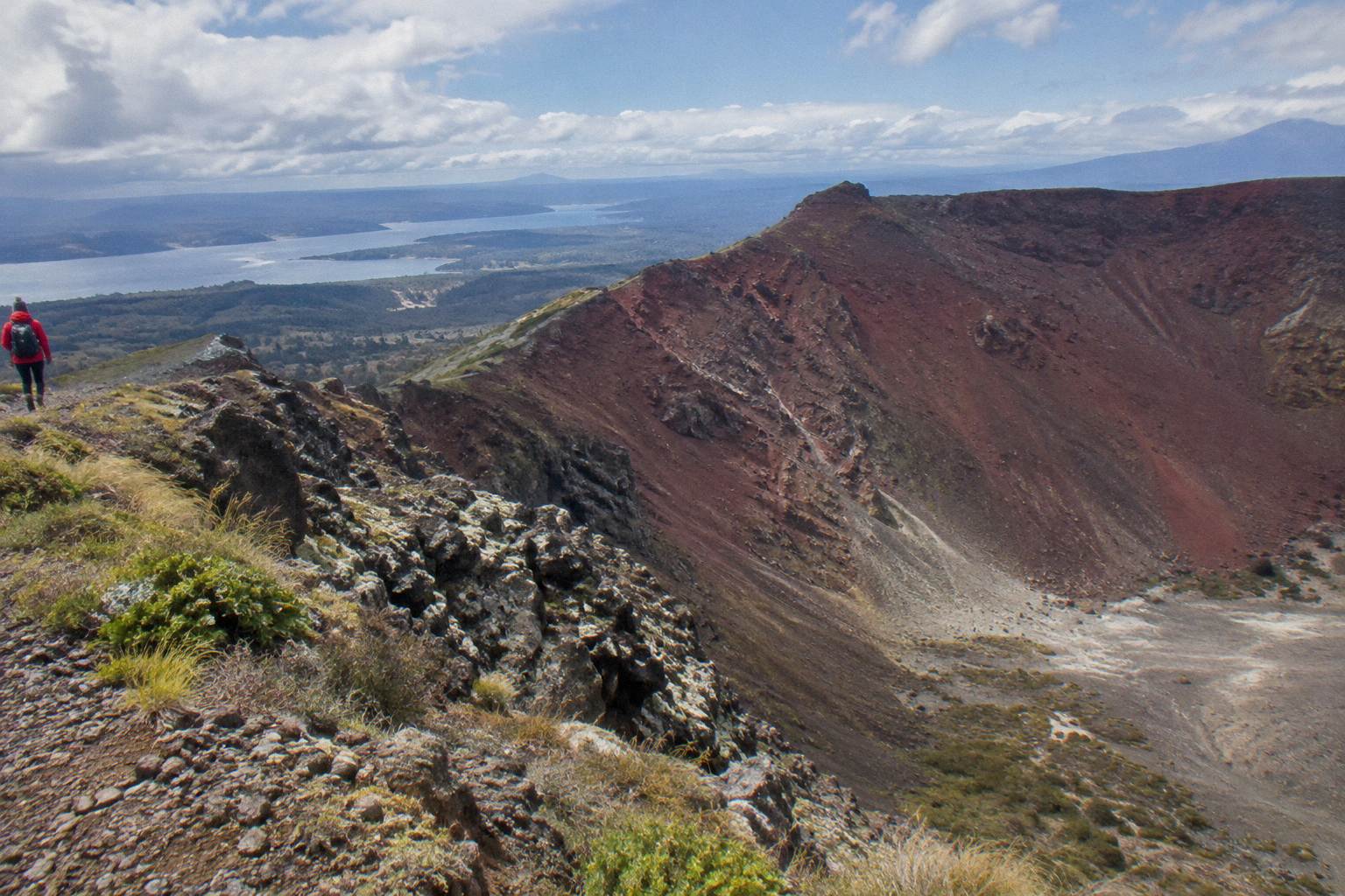
There is no activity verdict to give, and none of the official sources offers one. GNS Science describes Tarawera as a dome volcano inside an active caldera, one of several dome volcanoes of the Okataina Volcanic Centre east of Rotorua. GeoNet monitors the caldera and publishes a current Volcanic Alert Level that can change at any time, so the right move before travel is to check GeoNet directly and ask the operator about conditions.
That is the whole shape of the answer, and it is deliberately narrow. A volcano's status is a scientific question with a live, published answer, not something a travel writer should paraphrase into a one-word label. What can be done here is line up what each source actually says, then cover the practical side: fitness, ground conditions, weather policy and refunds, which are the parts a walker controls.
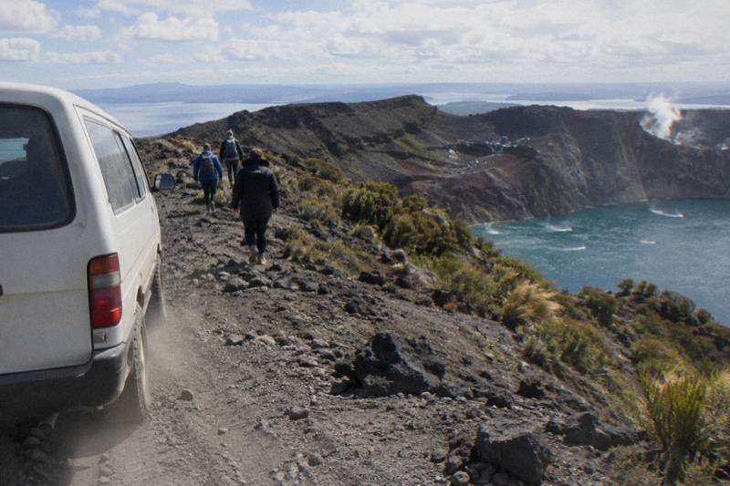
The two operators covered here approach the mountain as partners rather than rivals. Kaitiaki Adventures runs the guided walks, including the Kaitiaki Half-Day 4WD And Crater Walk, rated 4.9 across 359 reviews and running 4 hours 30 minutes. Volcanic Air runs the flights, including a 40-minute summit landing flight from NZ$675 per person, rated 4.9 across 43 reviews. All amounts in New Zealand dollars. Kaitiaki's conservation page describes both companies as concessionaires working alongside Ngati Rangitihi, whose people hold kaitiakitanga, guardianship, of the maunga. That structure matters for anyone asking about status: the mountain is private land governed by Ruawahia 2B Trust, and guided access exists inside that arrangement.
What The Official Sources Say About Tarawera's Status
GNS Science calls Tarawera a dome volcano of the Okataina Volcanic Centre and describes the caldera it sits inside as active, without labelling the mountain itself either way. GeoNet monitors Okataina and publishes a Volcanic Alert Level that is reviewed and can change. No official page read for these facts gives a safety verdict for visitors, and none should be expected to; the published level is the live answer.
The cleanest way to see the picture is side by side. Each row below is a faithful summary of what that source says, in its own terms, with no interpretation added.
| Source | What it says about Tarawera's status |
|---|---|
| GNS Science fact sheet | Tarawera is one of the dome volcanoes of the Okataina Volcanic Centre, east of Rotorua; the caldera is described as active |
| GeoNet | Monitors Okataina and publishes a current Volcanic Alert Level; the level changes and is the place to check before travel |
| Kaitiaki Adventures | Describes itself and Volcanic Air as concessionaires working alongside Ngati Rangitihi on the mountain |
| Volcanic Air | States that durations, flight times and inclusions may vary due to weather conditions, volcanic activity and passenger loadings |
Two traps catch people reading about Tarawera online. The first is the phrase "active volcano", which GNS does not use as a flat claim about Tarawera itself; the active thing in the science wording is the caldera system. The second is any fixed statement about current risk, which ages badly the day the alert level moves. GeoNet exists precisely so nobody has to guess: the monitoring body publishes the level, and a traveller can read it in under a minute before a trip.
For anyone weighing a guided walk against that background, the half-day crater experience is the natural starting point, and free cancellation up to 24 hours on the booking page means a booking can be made ahead without locking in a decision made weeks before the weather and the mountain are known.
Where To Check The Volcanic Alert Level Before You Travel
GeoNet, New Zealand's official geological hazard monitoring service, watches the Okataina Volcanic Centre and publishes its current Volcanic Alert Level on a public page. The level can change any day, so no travel article, including anything written here, should repeat it. Checking takes moments: open the GeoNet volcano page, find Okataina, and read the level and any notes beside it.
The page to bookmark is the GeoNet volcanoes page, which lists every monitored volcano in New Zealand with its current status. Beyond the level itself, GeoNet publishes bulletins when anything changes, and those bulletins name the volcano and the reason. A traveller who checks once a few days out and once the day before has done what the monitoring system is designed for.
A practical habit pairs the GeoNet check with a question to the operator. Confirm Kaitiaki's departure times and weather and cancellation policy when you book. The same conversation covers ground conditions on the day, which matters more to most walkers than the alert level does. Volcanic Air, for its part, folds volcanic activity into its own operating wording: flight times and inclusions may vary, and landings are at the pilot's sole discretion.
How The 1886 Eruption Shaped The Mountain You Walk On
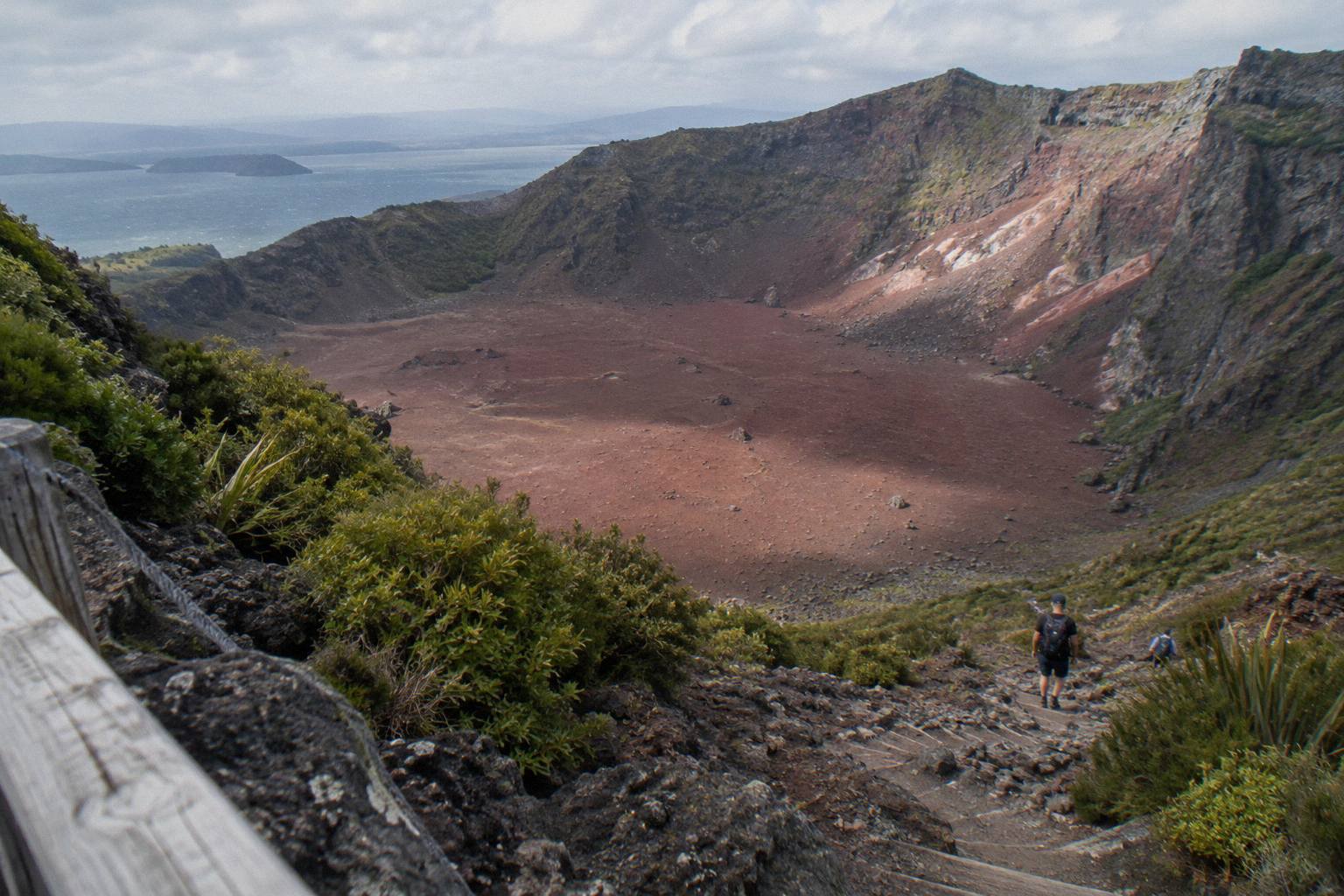
On the night of 10 June 1886, Tarawera erupted in what GNS Science calls New Zealand's largest eruption during the last 500 years, killing more than 100 people in villages near the mountain. The Pink and White Terraces were destroyed, and the summit landscape walkers cross today, its three domes and deep scree basin, is the direct product of that night.
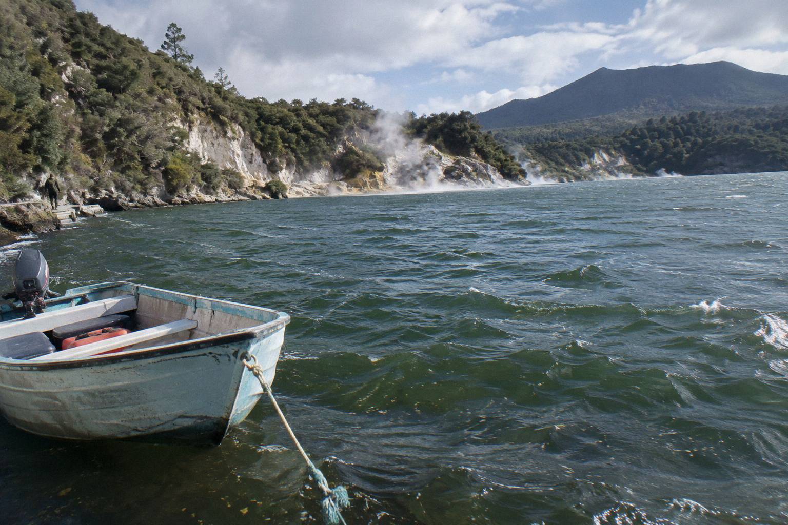
The scale of the event explains why the mountain carries such weight. The sound was heard as far away as Blenheim, in the South Island, and ash fell as far as Christchurch. GNS records the death toll only as more than 100, because sources differ on any exact total, and that careful phrasing is worth keeping. The eruption split the landscape open from the mountain through Lake Rotomahana into the Waimangu Valley, though the sources disagree on the length of the rift, with figures of 17 km and 8 km in circulation, so no length belongs in a travel summary.
The terraces are the part visitors most often ask about. GNS says the Pink and White Terraces were destroyed; a later survey reportedly found a small portion of the Pink Terraces under Lake Rotomahana, which is why "lost forever" is a claim nobody should make. Either way, the silica terraces that made the area famous before 1886 cannot be visited, and the crater basin that replaced part of that landscape is what a guided walk now crosses.
None of this is offered as a proxy for present conditions. A volcano's history explains its shape and its cultural weight, not its next move, and GeoNet's published level is the only live measure. What the history does explain is the terrain: the loose scoria, the steep scree and the raw, unvegetated stretches that make a guide and a certain level of fitness sensible companions.
What The Operators Say About Volcanic Activity And Landings
Volcanic Air states plainly that tour duration, flight times and inclusions may vary due to weather conditions, volcanic activity and passenger loadings, and that excursion landings are undertaken at the pilot's sole discretion. Kaitiaki's published pages describe the walk, the gear and the access road, and direct condition questions to the booking conversation. Neither company promises conditions, and neither should be asked for a forecast.
That Volcanic Air wording deserves a close read, because it answers the safety question in the only way an operator responsibly can: by naming the variables rather than predicting them. A landing on the summit is not guaranteed on any flight, and the decision rests with the pilot on the day, weighing weather, volcanic activity and how the aircraft is loaded. The 40-minute flight from the Rotorua lakefront crosses lakes Okareka, Okataina and Tarawera before its summit landing and guided walk, which the operator page describes as 15 minutes and the booking page as about 20 minutes. The wider set of guides lives on Mt Tarawera Volcano Hike.
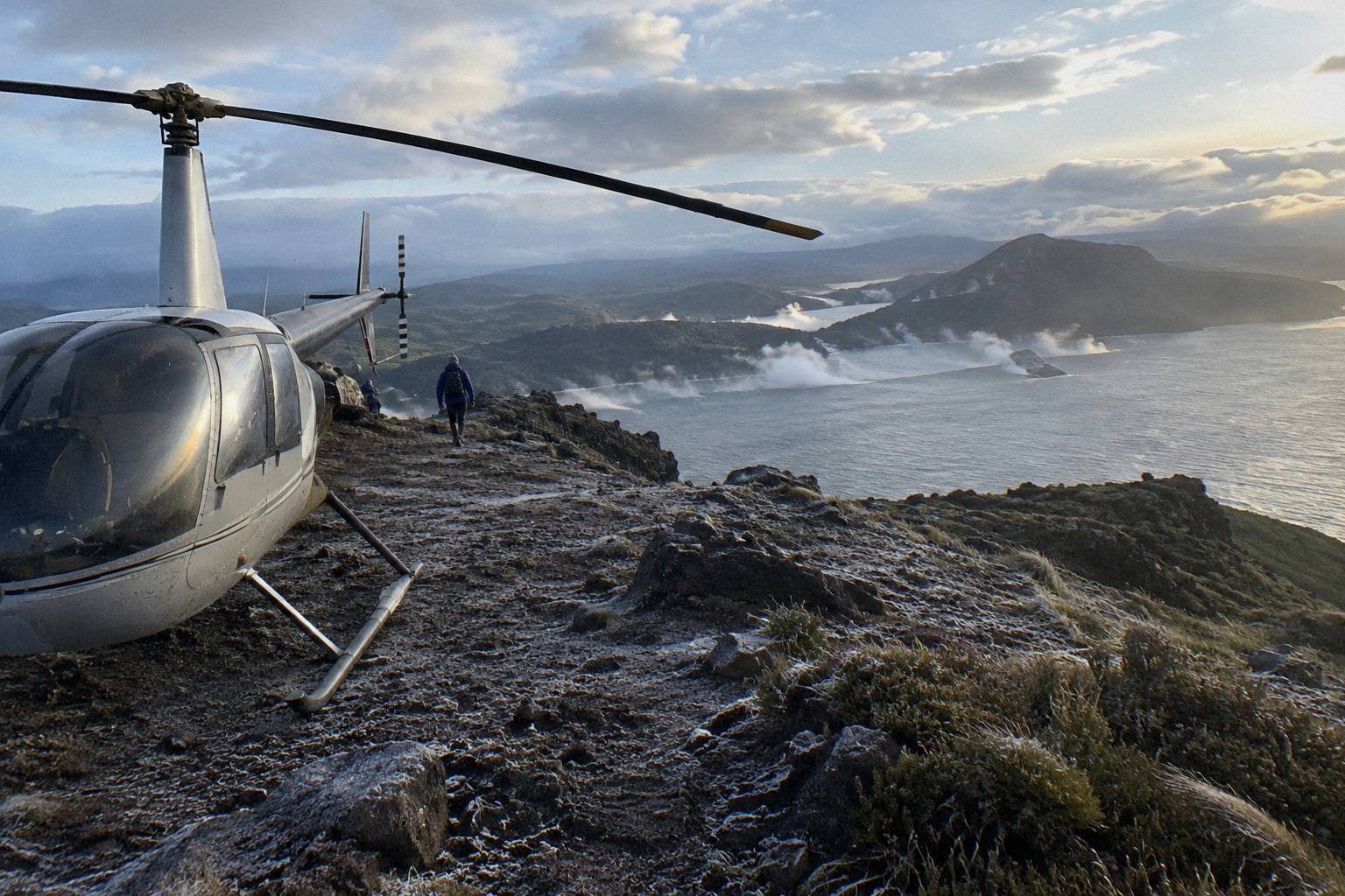
For walkers, the equivalent variables are handled by the guide. The Kaitiaki trip meets at the Main Carpark on Hemo Road in Rotorua, drives about 30 minutes to the base of the 4WD track, then covers roughly 8.2 km of bumpy off-road before the walk begins. Benches line the route, walking sticks come from base camp, and at the second bench the guide shows the summit trail. Guests who prefer lighter walking options can take them instead of the summit, which is the operator's own flexibility clause and one worth remembering when booking for a mixed group.
If a short flight with a summit landing sounds like the right format, the 40-minute flight from NZ$675 per person, rated 4.9 across 43 reviews, is the one to price for your date, with free cancellation up to 24 hours on the booking page.
Fitness, Ground Conditions And Who The Walk Suits
The operator asks for a medium to moderate fitness level for the summit track, lists low fitness, back problems, heart problems and serious medical conditions as not suitable, and sets a minimum age of 7. The ground is volcanic scoria that can be slippery, two sections of about 50 m need four points of contact, and the scree is described in the operator's own FAQ words as a 45 degree slope approximately 400m deep.
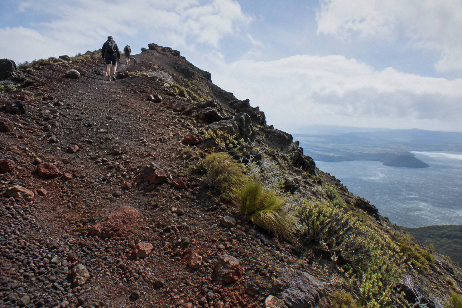
Those are the facts as the operator states them, and they do more useful work than any easy-or-hard label. The scree description is Kaitiaki's own wording about the slope guests may descend, not a measurement of the crater, and quoting it that way keeps it precise. The four-points-of-contact sections mean hands as well as feet, which is why sturdy shoes matter; the FAQ says sturdy trainers are fine. Bring water and snacks, because Kaitiaki says it provides no food, and tell the guide ahead of time about motion sickness, given the off-road drive.
The flexibility clause deserves repeating because it changes who can come. Lighter walking options exist instead of the summit track, so a family with one reluctant walker is not forced into an all-or-nothing choice. The trip is not wheelchair accessible, and the minimum age of 7 is the operator's stated rule for the half-day experience. The full-day hike also lists 7+ years and adds about 1.5 hours more walking, though its amounts never appear in a summary and should be asked about directly.
Anyone wanting a deeper read on the day itself can start with how the crater walk difficulty and fitness demands stack up, which covers the same ground in planning terms. The short version: moderate fitness, sensible shoes, and a willingness to use hands on two short sections covers what the operator asks for.
Weather, Cancellation And Refunds If Conditions Change
Every trip covered here offers free cancellation up to 24 hours on its booking page, and the booking pages for the 40-minute landing flight and the floatplane flyover say a full refund is given if the operator cancels for weather. Volcanic Air states that durations, flight times and inclusions may vary with weather, volcanic activity and passenger loadings. Kaitiaki's weather and cancellation policy is not published on its pages, so ask when you book.
This is where a cautious traveller gets their protection, and it is contractual rather than geological. A booking made weeks ahead can be unwound up to 24 hours before departure at no cost, and on flights the operator itself cancels for weather, the refund is full. The floatplane flyover also lists minimum numbers, and helicopter flights need a minimum of 2 adult fares to operate, which matters for solo travellers planning a landing.
The pilot's discretion clause works the same way in practice. If a summit landing is not possible on the day, the flight still delivers its scenic routing over the lakes, and the landing decision is made by the person with the instruments and the view. Walkers get an equivalent safeguard through the guide: ground conditions on scoria are assessed on the day, and lighter options exist below the summit.
For a fuller treatment of the sky side of the question, how weather affects the crater walk and landings works through the same policies in planning detail. The months matter too: Rotorua town records a July mean daily maximum of 12.0 °C against 23.1 °C in February, with July the wettest month at 137.4 mm of rain, and the summit at 1,111 m runs colder and windier than the town figures.
A nine-hour day pairs whitewater rafting on the Kaituna River with the 90-minute guided crater walk, joined by complimentary transport from central Rotorua, and carries the same free cancellation up to 24 hours on its booking page, with a minimum age of 13.
Comparing The Walk, The Landing And The Flyover Formats
The three formats differ mainly in time on the mountain: about 90 minutes of guided crater walking on the half-day trip, about 20 minutes on the mountain for the 40-minute landing flight, and no landing at all on the floatplane flyover, from NZ$395 per person, rated 4.8 across 48 reviews. Durations run 4 hours 30 minutes, 40 minutes and 30 minutes respectively, and all three carry free cancellation up to 24 hours.
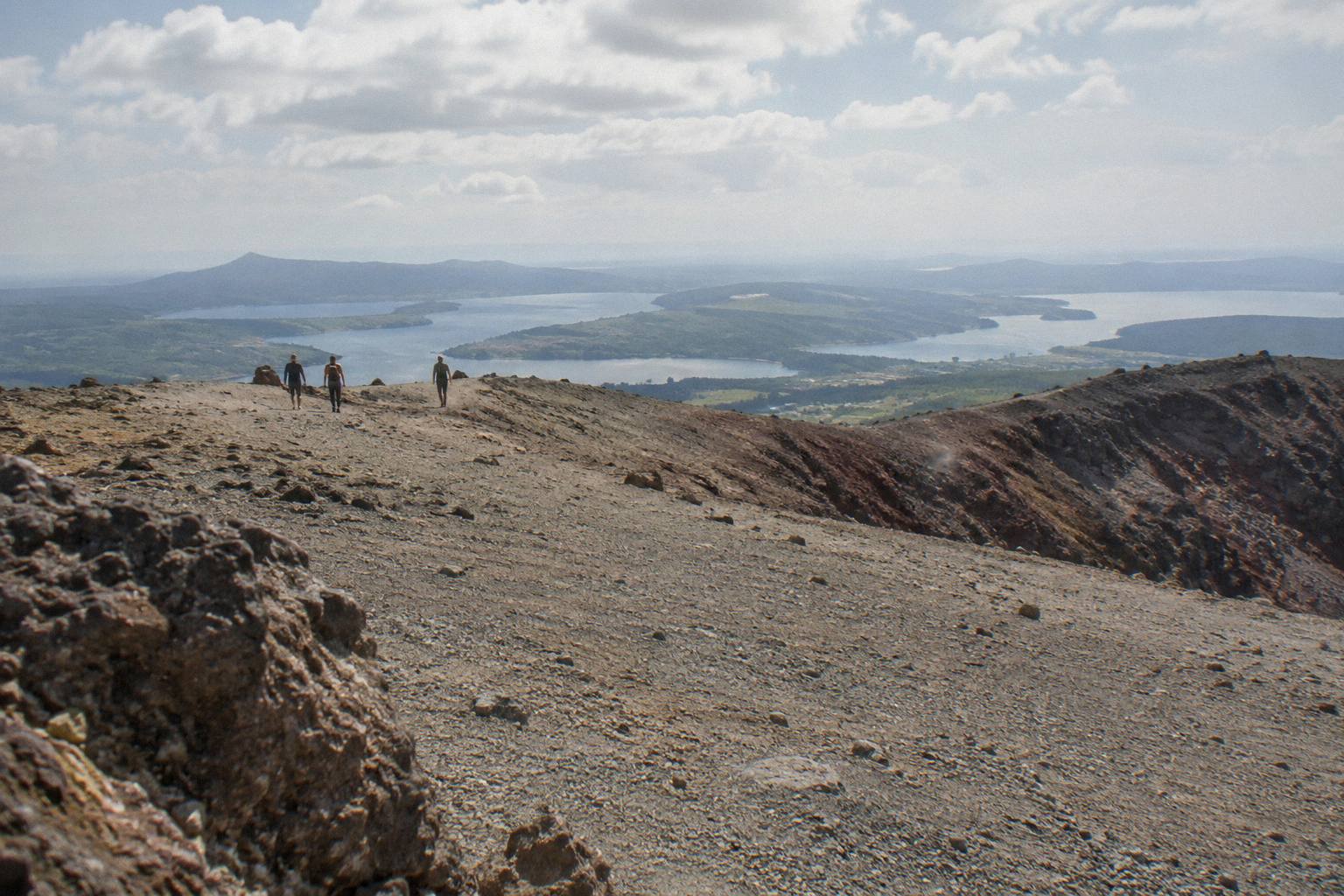
The comparison is about format, not ranking, because each suits a different traveller. The walk gives the mountain time: an off-road drive, a guided track, benches, a base camp stop and an optional run down into the crater. The landing flight compresses the day into under an hour and puts a boot on the summit briefly. The flyover, and it is always a flyover with no landing, suits anyone who wants the rift and the lakes from above without the weight limits and landing discretion of a helicopter touchdown.
| Trip | Format | Duration | On the mountain | Key rules |
|---|---|---|---|---|
| Kaitiaki Half-Day 4WD And Crater Walk | 4WD access and guided walk | 4 hours 30 minutes | about 90 minutes of guided crater walk | minimum age 7; moderate fitness; not wheelchair accessible |
| Volcanic Air 40-Minute Summit Landing Flight | helicopter flight and landing | 40 minutes | guided walk of about 15 to 20 minutes | minimum 2 adult fares; landing at the pilot's sole discretion |
| Tarawera Scenic Floatplane Flyover | floatplane scenic flight | 30 minutes | none, flyover only, no landing | minimum numbers listed; infants sit on laps |
Weight rules differ by product and are worth reading before choosing. The 40-minute landing flight lists 135 kg per seat, with individual weights taken at booking for passengers over 110 kg who may need specific seating. The flyover also lists 135 kg per seat. Age rules beyond the stated minimums vary; confirm any such details at booking.
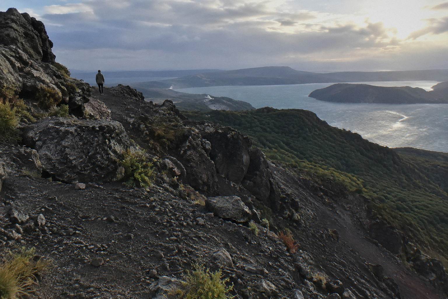
The deeper comparison of walking versus flying, including the 1-hour landing flight and the dual landing with Orakei Korako, from NZ$1,490 per person, sits in the walk, 4WD or helicopter comparison guide. If your main worry is the volcano itself, the formats differ in exposure time and physical demand, not in some hidden risk factor.
Common Mistakes People Make About Tarawera's Activity
The recurring mistakes are treating "active caldera" as a flat claim that the mountain is an active volcano, repeating an alert level read weeks earlier, assuming a summit landing is guaranteed, and expecting an operator or an article to declare the walk safe. Each mistake has a correct counterpart: GNS's exact wording, GeoNet's live page, the pilot's discretion clause, and the operator's own suitability rules.
The first mistake spreads fast because it flattens science into a label. GNS describes a dome volcano inside an active caldera, and that layered phrasing is the accurate one; a summary that drops the layers invents a claim nobody made. The second mistake is quoting an alert level from memory or from an old article, when the level exists precisely because it moves; the GeoNet page is the answer, checked close to travel. The third ignores Volcanic Air's plain statement that landings are at the pilot's sole discretion and depend on weather, volcanic activity and passenger loadings; a landing is a bonus delivered when conditions allow, not a purchased certainty.
The fourth mistake is expecting a verdict. No operator page and no official source read for these facts declares the crater walk safe or dangerous, and a phrase like that from a travel writer would be worth nothing anyway. What exists instead is a chain of responsibility: GeoNet publishes the monitoring, the trust and its concessionaires manage access, the guide assesses the day's ground, and the pilot decides the landing. The traveller's job is the easiest part: check the live level, read the suitability rules, book with the 24-hour cancellation in hand, and ask the operator the questions their pages leave open. That, rather than a single reassuring word, is what a well-prepared Tarawera visit looks like.
Common Questions About Mt Tarawera Activity And Safety
Is Mt Tarawera Still Active, And Is The Crater Walk Safe?
GNS Science describes Tarawera as a dome volcano inside an active caldera, part of the Okataina Volcanic Centre. GeoNet monitors the caldera and publishes a live Volcanic Alert Level, which changes and should be checked before travel. No official source gives a safety verdict for visitors; suitability rests on the operator's stated fitness and medical rules, and questions about conditions go to the operator when you book.
Where Can The Current Volcanic Alert Level Be Checked?
On the GeoNet volcanoes page, which lists every monitored volcano in New Zealand with its current level. Okataina is the caldera that includes Tarawera. Check a few days before travel and again the day before, since the level can change at any time.
Is A Summit Landing On A Helicopter Flight Guaranteed?
No. Volcanic Air states that tour durations, flight times and inclusions may vary due to weather conditions, volcanic activity and passenger loadings, and that excursion landings are undertaken at your own risk and at the pilot's sole discretion. The scenic routing over the lakes still runs, and the booking page offers free cancellation up to 24 hours.
What Fitness Does The Crater Walk Require?
The operator asks for a medium to moderate fitness level for the summit track, and lists low fitness, back problems, heart problems and serious medical conditions as not suitable. The ground is volcanic scoria that can be slippery, two sections of about 50 m need four points of contact, and lighter walking options exist instead of the summit. The minimum age is 7, as the operator states.
What Happens If Weather Cancels A Booked Trip?
All six trips covered here offer free cancellation up to 24 hours on the booking page. The booking pages for the 40-minute landing flight and the floatplane flyover say a full refund is given if the operator cancels for weather. Kaitiaki's weather and cancellation policy is not published on its pages, so ask when you book.
Who Owns Mt Tarawera And Decides On Access?
The mountain is governed by Ruawahia 2B Trust, which reinvests most tourism concession revenue in conservation, with wilding pine removal first. Ngati Rangitihi hold kaitiakitanga of the maunga, and Kaitiaki Adventures and Volcanic Air describe themselves as concessionaires working alongside them. For any route beyond the guided trips, ask the trust or the Department of Conservation.