Mount Tarawera Eruption 1886: The Story Behind The Crater Walk
The night of 10 June 1886 produced New Zealand's largest eruption of the last 500 years, destroyed the Pink and White Terraces, and left behind the rift, domes and scree that guided walks and helicopter flights now cross.
Short answer
Tarawera is one of the dome volcanoes of the Okataina Volcanic Centre, and GNS Science calls its 10 June 1886 eruption New Zealand's largest during the last 500 years. More than 100 people were killed in villages near the mountain. Today the Kaitiaki half-day walk crosses the crater for 4 hours 30 minutes, and helicopter landings touch the summit in 40 minutes.
Tarawera is one of the dome volcanoes of the Okataina Volcanic Centre, east of Rotorua, and the night of 10 June 1886 gave it the shape visitors walk across today. GNS Science calls that eruption New Zealand's largest during the last 500 years. It destroyed the Pink and White Terraces, killed more than 100 people in villages near the mountain, and was heard as far away as Blenheim, with ash falling as far as Christchurch. The guided crater walk, the helicopter landings and even the floatplane flyover all cross a landscape that was written in a single night, and the guides who lead those trips tell that story as part of the day.
The mountain itself is private land. Ruawahia 2B Trust governs it, and Ngati Rangitihi hold kaitiakitanga, or guardianship, of the maunga. Most tourism concession revenue goes back into conservation, with wilding pine removal named first among the projects, and the two operators whose trips appear on Mt Tarawera Volcano Hike describe themselves as concessionaires working alongside Ngati Rangitihi. That arrangement is the reason summit access runs through guided trips rather than casual walking, and it ties every crater walk back to the community the eruption hit hardest.
What Happened During The Mount Tarawera Eruption Of 1886
On the night of 10 June 1886, Tarawera erupted in what GNS Science describes as New Zealand's largest eruption during the last 500 years. The sound was heard as far as Blenheim and ash fell as far as Christchurch. GNS records that more than 100 people were killed in villages near the mountain, and the Pink and White Terraces were destroyed. Tarawera is one of the dome volcanoes of the Okataina Volcanic Centre, east of Rotorua.
Sources differ on some details of that night, and responsible writing sticks to what the primary sources agree on. GNS and Wikipedia give different start times for the main phase, so only the date survives into settled accounts: the night of 10 June 1886. GNS records the death toll as more than 100 people in the villages near the mountain, though you will see differing totals elsewhere; the round figure of more than 100 is the one to rely on.
The eruption also wrote itself into the names. GNS gives the meaning of the name Tarawera as "burnt cliff" or "peaks", and that GNS wording is the only place-name meaning worth quoting. Nothing about the event needs embellishment. A mountain split open in the dark, lakeside settlements were buried, and a landscape of steaming valleys and shattered domes remained. Waimangu Volcanic Valley, farther south, describes its geothermal system as forming as the result of that same eruption on 10 June 1886, which gives a sense of how far the effects reached beyond the mountain itself.
| Fact from 1886 | What the source says | Source |
|---|---|---|
| Scale | New Zealand's largest eruption during the last 500 years | GNS Science fact sheet |
| Date | The night of 10 June 1886 | GNS Science |
| Location | One of the dome volcanoes of the Okataina Volcanic Centre, east of Rotorua | GNS Science |
| Sound | Heard as far as Blenheim | GNS Science |
| Ash | Fell as far as Christchurch | GNS Science |
| Lives lost | More than 100 people killed in villages near the mountain | GNS Science |
| Terraces | Pink and White Terraces destroyed | GNS Science |
| Name meaning | "Burnt cliff" or "peaks" | GNS Science |
Where You Can Still See The 1886 Eruption Landscape
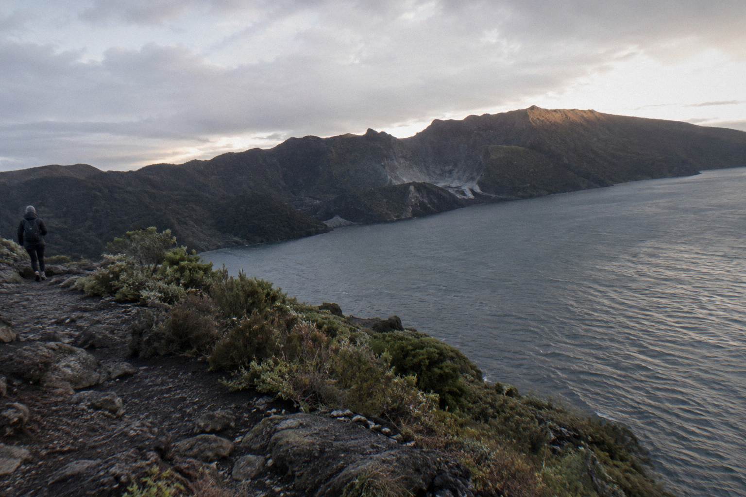
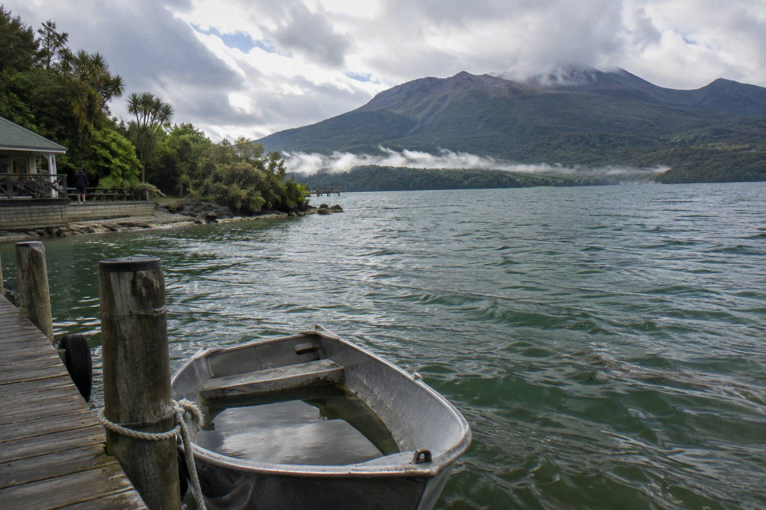
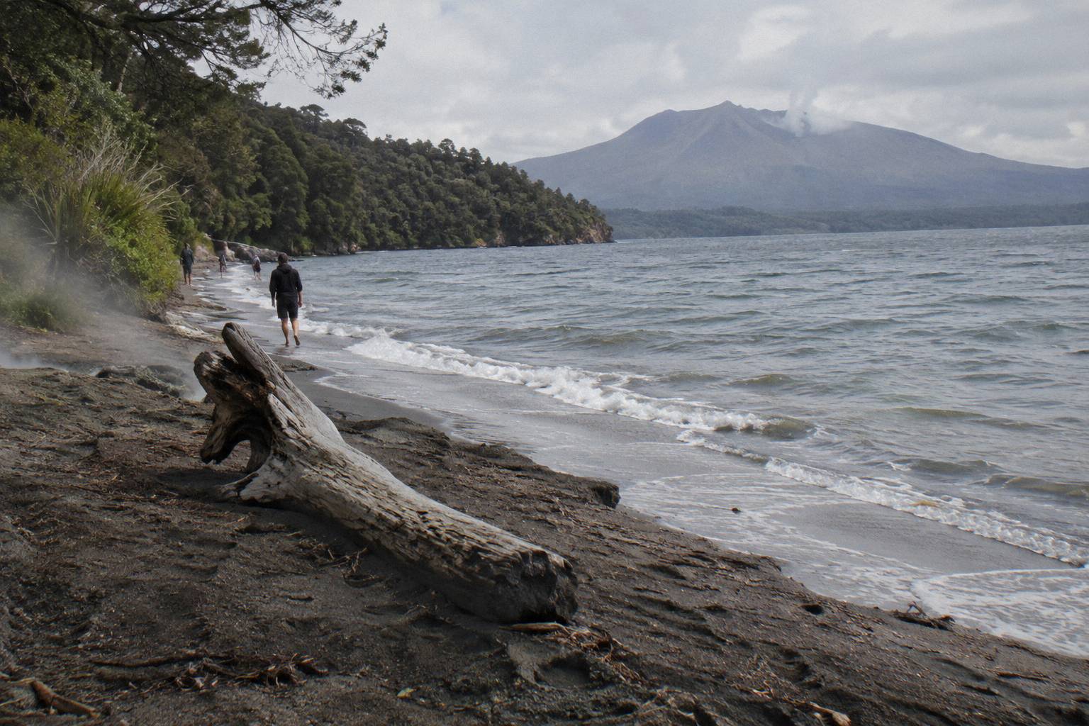
The clearest 1886 evidence is the mountain itself: the three domes of Ruawahia, Tarawera and Wahanga, the crater scree, and the rifted summit that guided walks cross. Lake Tarawera sits below, Hot Water Beach at Te Rata Bay still has very hot sand, and Waimangu Volcanic Valley's geothermal system formed as a result of the eruption. The Buried Village of Te Wairoa preserves an excavated settlement.
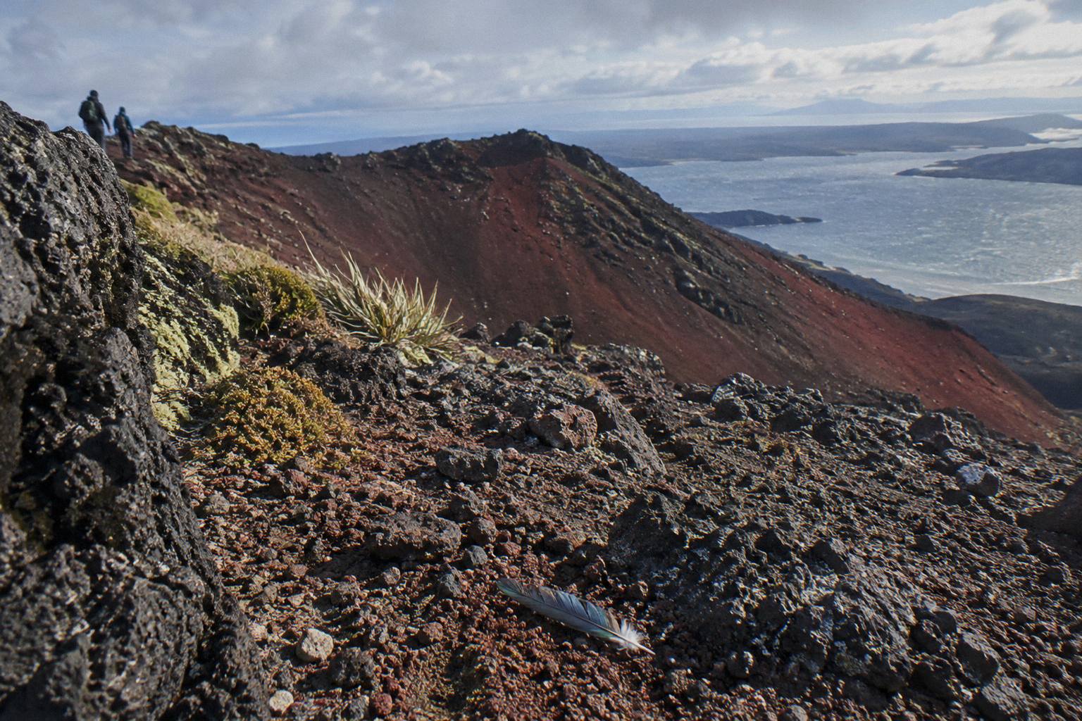
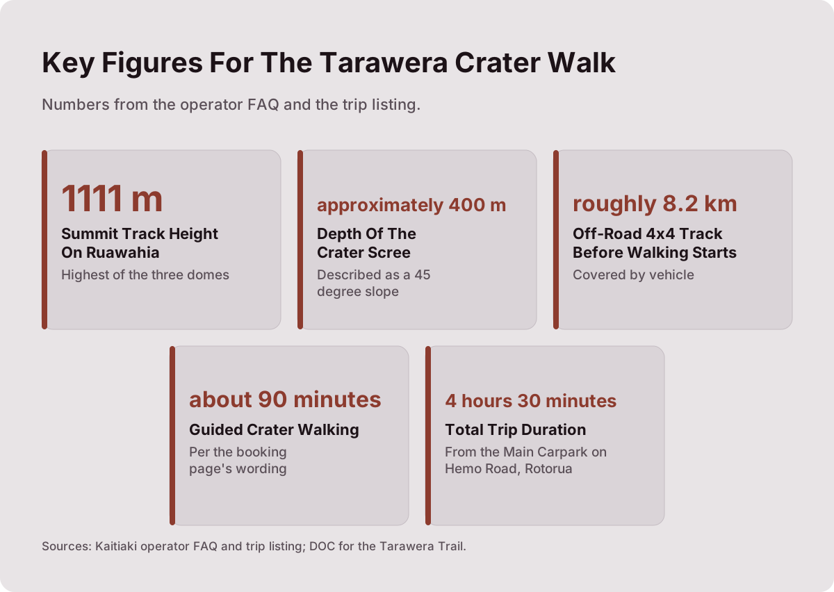
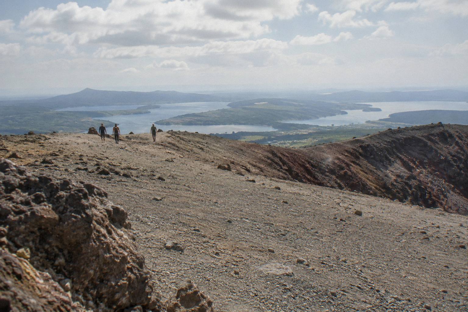
The summit evidence is the part most visitors come for. Kaitiaki's own FAQ describes the summit track reaching 1111 m on Ruawahia, the highest of the three domes, and describes the scree inside the crater as a 45 degree slope approximately 400 m deep. Those figures belong to the operator's FAQ wording, but they explain what walkers actually meet: loose volcanic scoria that can be slippery, and an optional run down into the crater that is the signature move of the half-day trip. The rock underfoot is the eruption's residue, red and black, still loose more than a century later.
Down at lake level the DOC Tarawera Trail covers different ground. It is a 15 km advanced tramping track from the Te Wairoa car park to the Hot Water Beach campsite via Te Rata Bay, with dogs, bikes and vehicles not permitted, and DOC warns that localised patches of sand at Hot Water Beach are very hot. It is a lake-edge track, not the mountain, and travelers often pair it with a look at the Buried Village of Te Wairoa, open 10am to 4pm Wednesday to Sunday with last entry at 3.45pm. If the eruption story is what draws you, deciding between the lake track and the summit comes down to whether you want to read the edges or stand inside the crater, and the Tarawera Trail or crater walk comparison works through that choice in detail.
If standing on the mountain is the goal, three formats get you there, and all six trips on offer carry free cancellation up to 24 hours on the booking page:
Each of those three crosses the 1886 landscape in a different way: on foot over the summit, on foot after a morning of rafting, or by helicopter with a short guided walk on top. The rest of the article works through what the eruption story adds to each.
How Guides Tell The 1886 Story On The Crater Walk
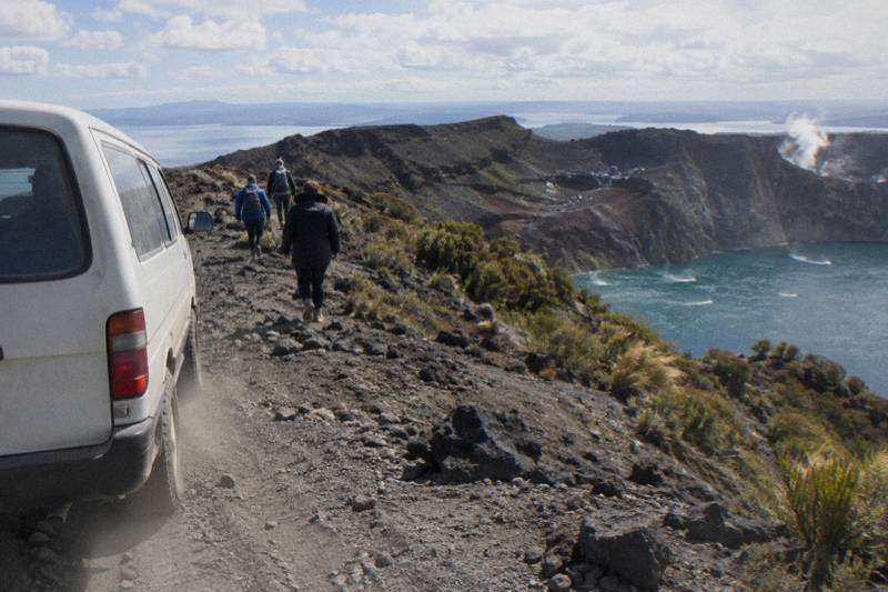
The Kaitiaki Half-Day 4WD And Crater Walk runs 4 hours 30 minutes from the Main Carpark on Hemo Road in Rotorua, rated 4.9 across 359 reviews. A 4x4 covers roughly 8.2 km of off-road track to where the walking starts, then about 90 minutes of guided crater walking follows on the booking page's wording. Guides narrate the mountain, and the 1886 story is the spine of it.
The trip is built around access as much as storytelling. After about 30 minutes' driving from Rotorua to the base of the 4WD track, the vehicle climbs the mountain road, with a base camp stop offering a composting toilet and walking sticks before the hikoi begins. Benches break up the climb, and from the second bench the guide points out the summit trail. The minimum age is 7 as the operator states, moderate fitness is needed, and the operator lists back problems, heart problems and serious medical conditions as not suitable. Kaitiaki provides no snacks, so water and food come with you.
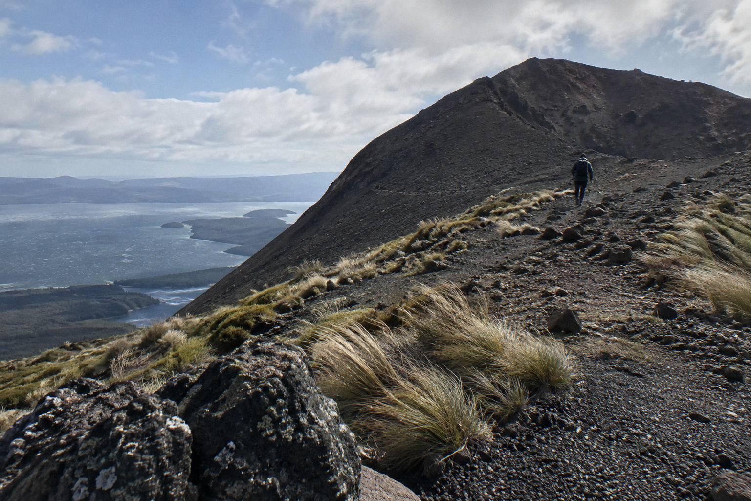
What makes the walk more than exercise is that every feature has a place in the 1886 account. The domes predate the eruption, the scree and the summit rift are its direct product, and the lakes spread below were reshaped by it. A guide connects those pieces in a couple of hours on foot in a way a viewpoint from the road never manages. For a fuller sense of the on-ground experience, the step by step crater walk account traces the whole sequence from meeting point to crater floor.
The same operator also runs the Kaituna Rafting And Tarawera Crater Walk Combo, a 9-hour day that pairs about 1.5 hours of Kaituna River whitewater rafting, roughly an hour of it on the water, with the 4x4 ride up Tarawera and a 90-minute guided crater walk. Minimum age is 13, moderate fitness is again needed, and complimentary transport from central Rotorua accommodation and the Rotorua Information Centre covers both separately timed activities. It suits travelers who want a full day built around water and volcano in one booking, with free cancellation up to 24 hours on the booking page.
If the half-day format sounds right, the Kaitiaki half-day 4WD and crater walk page holds the full detail, and you can check availability for your dates. The booking page shows the amount for your date, so ask the operator for anything the pages leave open, including departure times and pickup arrangements.
The Helicopter Landing View Of The Eruption Scar
The Volcanic Air 40-Minute Summit Landing Flight costs from NZ$675 per person, rated 4.9 across 43 reviews, and flies from the Rotorua City Lakefront over lakes Okareka, Okataina and Tarawera before a guided walk on the summit. The landing itself is at the pilot's sole discretion and depends on weather, volcanic activity and passenger loadings, in Volcanic Air's own wording.
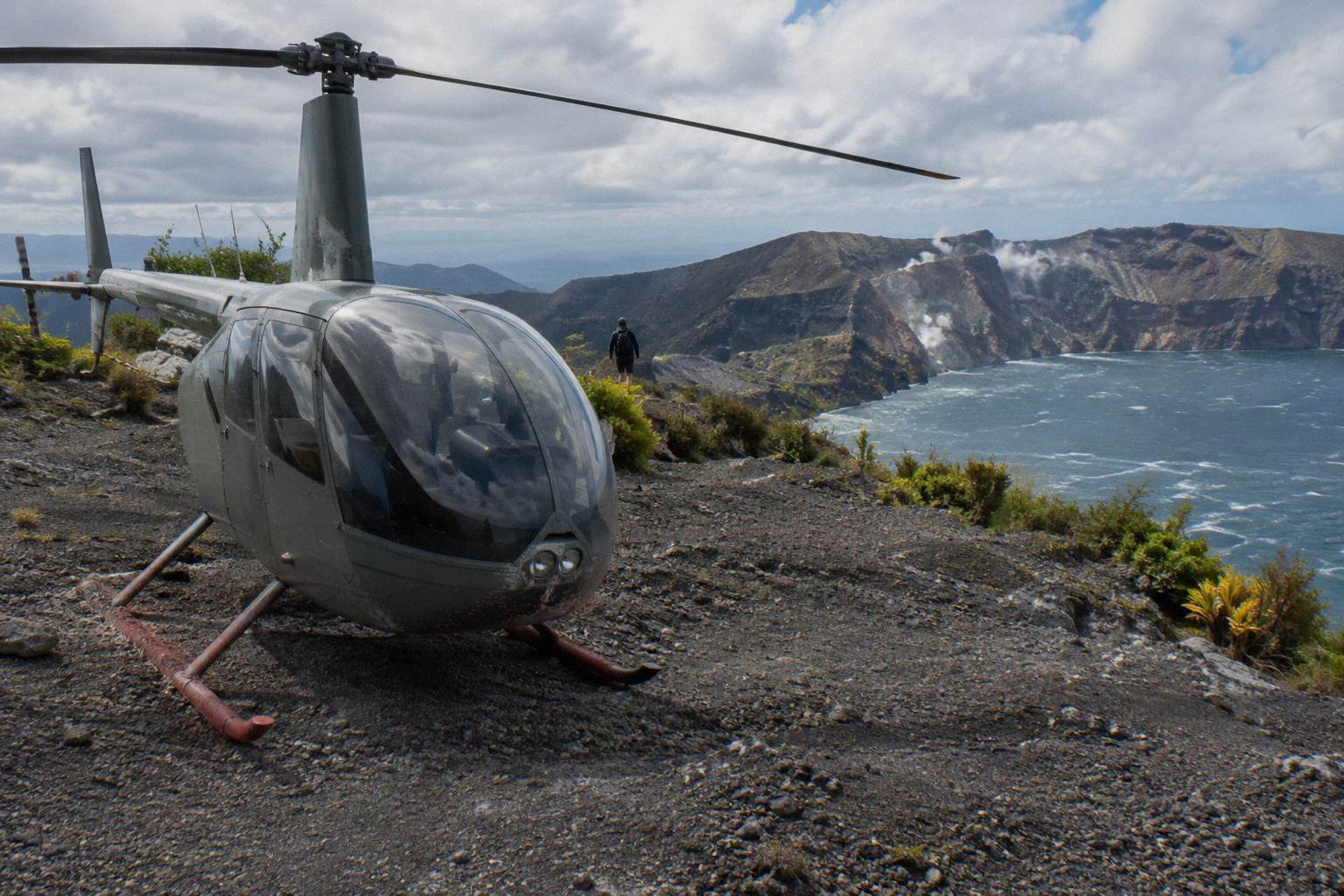
From above, the 1886 story reads as geometry. The rifted line of the summit, the three domes standing along it, and the lakes filling the valleys to either side make the shape of the event visible in a way the ground view cannot. Volcanic Air's route passes over three lakes before the mountain, and the guided walk on top lasts 15 minutes on the operator's page or about 20 minutes on the booking page, a difference worth knowing when planning. The walk is short, but it happens on the summit itself, with the pilot as guide.
The conditions matter more here than on foot. Volcanic Air's conditions state plainly that tour duration, flight times and inclusions may vary due to weather, volcanic activity and passenger loadings, and that excursion landings are at your own risk and at the pilot's sole discretion. A minimum of 2 adult fares applies for the flight to operate, infants sit on laps, the booking page carries a 135 kg per seat weight figure, and passengers over 110 kg may be given specific seating with individual weights taken at booking. Free cancellation runs up to 24 hours.
The Three Domes And Which One The Walk Climbs
Tarawera's summit is really three domes: Ruawahia, Tarawera and Wahanga, with Ruawahia the highest at 1111 m. The guided crater walk climbs Ruawahia, the dome closest to the lake and the one whose slopes hold the crater scree. The 1886 eruption split the line between them, which is why the summit walk follows a rift rather than a single peak.
| Dome | Height or role | Role in today's trips |
|---|---|---|
| Ruawahia | Highest of the three domes at 1111 m | The dome the guided crater walk summits |
| Tarawera | Middle dome of the three | Seen along the summit route from the air or on foot |
| Wahanga | Northernmost of the three | Visible on flight paths over the mountain |
The domes predate 1886, which surprises many visitors. They were built by earlier eruptions within the Okataina Volcanic Centre, and the 1886 event tore through them rather than creating them. GNS describes Tarawera as a dome volcano inside an active caldera, a phrasing that matters: the caldera system is the active framework, the domes are its products, and the walk's route along their spine is a walk along the freshest chapter of a much older story.
The Pink And White Terraces After 1886
GNS Science says the 1886 eruption destroyed the Pink and White Terraces, the silica formations on Lake Rotomahana's shores that drew visitors from around the world. Wikipedia records that a small portion of the Pink Terraces was reportedly rediscovered under Lake Rotomahana in 2011. No trip on the mountain visits their site, and no tour on offer claims to.
The terraces deserve care in the telling. They were silica terraces, formed by geothermal water, and their destruction is the cultural loss most often attached to the eruption alongside the human toll. Claims that they vanished entirely are too strong: the reported 2011 rediscovery of a small portion beneath Lake Rotomahana, attributed to Wikipedia's account, keeps the story open. Writers and guides alike do best to say destroyed in 1886, with a fragment reportedly found in 2011, and stop there. No dimension, no wonder-of-the-world label, and no promise that anything of them can be seen from a flight or a walk.
Is Mount Tarawera Still An Active Volcano Today
GNS describes Tarawera as a dome volcano inside an active caldera, and GeoNet monitors the Okataina Volcanic Centre and publishes its current Volcanic Alert Level. The level can change at any time, so no page carries it as a fixed number. The practical advice is simple: check GeoNet before you travel, and treat landing and walking decisions as belonging to operators and pilots on the day.
The phrasing matters because casual claims drift. Calling Tarawera an active volcano flattens a layered situation: the caldera system is the active framework, GeoNet watches it, and the domes standing inside it are the residue of its history. Volcanic Air's conditions already fold volcanic activity into every landing decision, and the guided walks run on the same mountain under the same monitoring. For travelers, GeoNet's volcano pages are the primary source, and the operators' concession relationship with Ngati Rangitihi, described on Kaitiaki's conservation page, explains who looks after the land in between eruptions. Nobody forecasts the next event, and any page that tries is guessing.
What A Tarawera Flyover Shows Compared With A Landing
The Tarawera Scenic Floatplane Flyover costs from NZ$395 per person, rated 4.8 across 48 reviews, and lasts 30 minutes as a flyover with no landing, always worth saying in the same breath. It shows the whole 1886 geography, domes, lakes and rift line, in half an hour from the Rotorua lakefront base at 1 Lakefront Drive. Travelers who want to stand on the summit need a landing flight or the guided walk instead.
The flyover is the format that trades touch for perspective. From a floatplane the three domes line up along the summit, Lake Tarawera fills the foreground, and the shape of the 1886 rift is easier to read than from any single point on the ground. Pilot commentary runs throughout, the flight departs the lakefront and returns there, weight sits at 135 kg per seat on the booking page, infants sit on laps, and free cancellation applies up to 24 hours. All amounts are New Zealand dollars.
For more time over the volcanic landscape, the Volcanic Air 1-Hour Mountain Landing Flight spends a full hour in the air with a mountain landing and about 20 minutes on Mt Tarawera, headsets included so the pilot-guide's commentary comes through clearly. The booking page shows the amount for your date, weight sits at 110 kg total per passenger, a minimum of 2 adult fares applies, and the landing is at the pilot's sole discretion. The age rule and anything else left open, ask Volcanic Air when you book.
| Format | Trip | Duration | Landing on the mountain | From price per person |
|---|---|---|---|---|
| Walk | Kaitiaki Half-Day 4WD And Crater Walk | 4 hours 30 minutes | On foot, about 90 minutes of crater walking | The booking page shows the amount for your date |
| Walk combo | Kaituna Rafting And Tarawera Crater Walk Combo | 9 hours | On foot, 90-minute crater walk | The booking page shows the amount for your date |
| Helicopter landing | Volcanic Air 40-Minute Summit Landing Flight | 40 minutes | At the pilot's sole discretion | From NZ$675 |
| Helicopter landing | Volcanic Air 1-Hour Mountain Landing Flight | 1 hour | At the pilot's sole discretion | The booking page shows the amount for your date |
| Helicopter and ferry | Tarawera And Orakei Korako Dual Landing Flight | 3 hours | At the pilot's sole discretion | From NZ$1,490 |
| Floatplane flyover | Tarawera Scenic Floatplane Flyover | 30 minutes | No landing, flyover only | From NZ$395 |
Pairing The Eruption Story With Orakei Korako
The Tarawera And Orakei Korako Dual Landing Flight costs from NZ$1,490 per person for 3 hours, pairing a helicopter landing and guided walk on Tarawera with a ferry transfer to Orakei Korako and a 1-hour self-guided visit there, admission included. It is the one trip that joins the mountain's 1886 story to another geothermal landscape shaped by the same volcanic region in a single morning or afternoon.
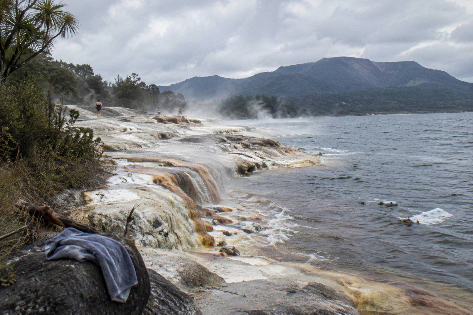
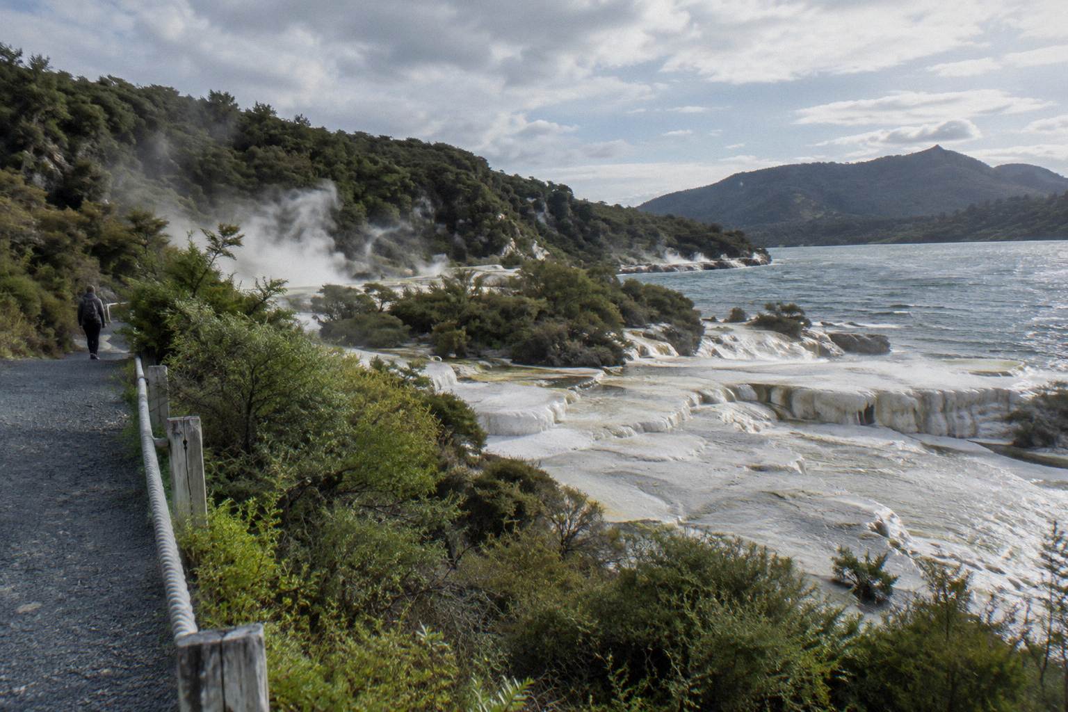
The dual landing suits the traveler whose interest in 1886 extends to what geothermal New Zealand looks like when it is left alone for a while. Orakei Korako's silica terraces and steaming ground offer a hint of what the Pink and White Terraces were, without any claim of equivalence, and the contrast between the shattered summit and the living valley is the point of the pairing. Practical rules mirror the other Volcanic Air flights: weight listed at 130 kg total per passenger on the booking page, not suitable for pregnant travelers, people with mobility impairments or people afraid of heights, minimum 2 adult fares, infants on laps, landing at the pilot's sole discretion, and free cancellation up to 24 hours. The age rule and anything else the pages leave open, ask Volcanic Air when you book.
Which Months Suit A Visit Around The Eruption Sites
Rotorua's warmest months for walking are January to March, with mean daily maxima from 21.1 to 23.1 °C, and November is the driest month at 86.8 mm of rain. July is the coolest and wettest, at a 12.0 °C mean maximum and 137.4 mm. These are town figures at about 280 m elevation; the 1111 m summit is colder and windier than any of them, so layer up whatever the season.
The numbers come from the 1991 to 2020 climate normals for Rotorua town, and they describe the launch point, not the mountain. Roughly 118.6 rainy days a year means a wet summit day is possible in any month, and the pilot-discretion clause on every landing flight exists partly for that reason. The guided walks run year round with the operator watching conditions, and free cancellation up to 24 hours gives some room if a front arrives. The trade is straightforward: summer gives longer days and warmer rock underfoot, winter gives clear-air views when the weather behaves.
| Month | Mean daily max | Mean rainfall | Walk planning note |
|---|---|---|---|
| January | 22.9 °C | 93.8 mm | Warm walking, busy season |
| February | 23.1 °C | 100.4 mm | Warmest month of the year |
| July | 12.0 °C | 137.4 mm | Coolest and wettest, carry layers |
| November | 18.6 °C | 86.8 mm | Driest month of the year |
Common Mistakes Visitors Make About The 1886 Eruption
The recurring errors are treating the domes as products of 1886, expecting to see the Pink and White Terraces from a flight, repeating an exact death toll or eruption start time that sources disagree on, assuming the mountain can be walked freely, and calling Tarawera active without the caldera context. Each one is easy to make and each one is corrected by sticking to the primary sources.
The domes came first; 1886 broke through them. The terraces are gone as a visiting experience, whatever fragments lie under Lake Rotomahana. The death toll stands at more than 100 because GNS says more than 100, and the start time stays unwritten because GNS and Wikipedia differ. Free walking on the summit is not something any official page read here authorises, and the concession system under Ruawahia 2B Trust is the access route that exists. And the status question resolves to GNS's phrasing: a dome volcano inside an active caldera, monitored by GeoNet, with the alert level published there rather than fixed in print. Avoid those five traps and the story holds together cleanly.
Common Questions About The Mount Tarawera Eruption And The Crater Walk
When Did Mount Tarawera Erupt?
On the night of 10 June 1886. GNS Science calls it New Zealand's largest eruption during the last 500 years. Sources give different start times for the main phase, so the date is the settled fact.
How Many People Died In The Mount Tarawera Eruption?
GNS Science records that more than 100 people were killed in villages near the mountain. Exact totals differ between sources, so the round figure is the one that respects them all.
Can You Still See The Pink And White Terraces?
No. GNS says the 1886 eruption destroyed them, and Wikipedia records that a small portion of the Pink Terraces was reportedly rediscovered under Lake Rotomahana in 2011. No tour on the mountain visits their site.
Is Mount Tarawera Still Active?
GNS describes Tarawera as a dome volcano inside an active caldera. GeoNet monitors the Okataina Volcanic Centre and publishes the current Volcanic Alert Level, which can change at any time, so check GeoNet before you travel.
Does The Crater Walk Go Into The 1886 Crater?
Yes, as an option. The guided walk summits Ruawahia Dome at 1111 m, and Kaitiaki's FAQ describes the scree as a 45 degree slope approximately 400 m deep, with an optional run down into the crater on the half-day trip.
Can You Walk Mount Tarawera Without A Guide?
The mountain is private land governed by Ruawahia 2B Trust, and no official page read for this coverage authorises unguided summit walking. Guided trips with Kaitiaki Adventures and Volcanic Air are the access route covered here; for any other route, ask Ruawahia 2B Trust or DOC.