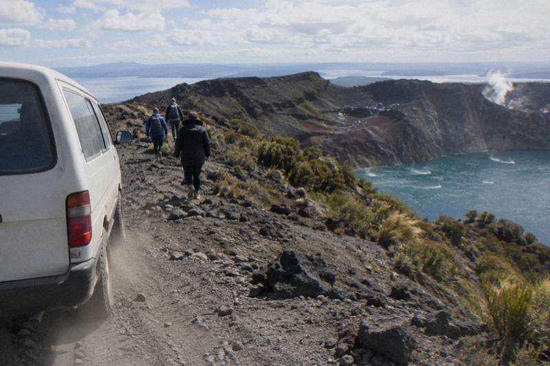
Mount Tarawera Map And Crater Walk Route
There is no public trailhead sign for Mount Tarawera, because the mountain sits on land governed by Ruawahia 2B Trust and the summit is reached through licensed operators. Here is the route as a sequence of places, exactly as the operators describe it.
Short answer
The guided crater walk begins at the Main Carpark on Hemo Road in Whakarewarewa, Rotorua, then runs about 30 minutes by road to the 4WD track, roughly 8.2 km off-road to a base camp, and on foot past benches to the 1,111 m summit. Helicopter trips start instead at the Rotorua City Lakefront helipad on Lakefront Drive.
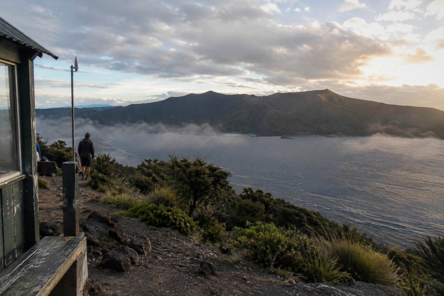
The summit of Mount Tarawera stands 1,111 m above the Rotorua district, and the fastest way to understand the trip is to picture it as a chain of handover points: a town carpark, a rural road, a rough 4WD track, a base camp, and finally a walking track that ends on the rim of a crater formed on the night of 10 June 1886. None of that chain is marked on a standard road map in a way that helps a visitor, because the upper mountain is private land governed by Ruawahia 2B Trust, which reinvests most tourism concession revenue in conservation, with wilding pine removal first. Ngati Rangitihi hold kaitiakitanga of the maunga, and the two operators covered here, Kaitiaki Adventures and Volcanic Air, describe themselves as concessionaires working alongside Ngati Rangitihi.
So rather than a map with grid references, what follows is the route as a sequence of named places, taken from the operators' own published wording. No walk distance, ascent figure or set of map coordinates is published for the crater walk, and none appears here. For an overview of how the formats differ before you follow the route itself, the Mount Tarawera tours compared by format guide lays out the walk, helicopter landing and flyover options side by side.
Where Is Mount Tarawera And Where Does The Route Start?
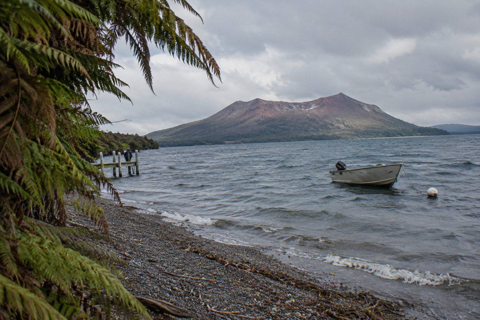
Mount Tarawera sits east of Rotorua as one of the dome volcanoes of the Okataina Volcanic Centre, and the walking route starts in Rotorua itself, not at the mountain. Kaitiaki Adventures names its meeting point as the Main Carpark on Hemo Road, Whakarewarewa, while Volcanic Air's flights leave from the Rotorua City Lakefront helipad at 1 Lakefront Drive, Ohinemutu. Two different starts, one summit.
The mountain's three domes, Ruawahia, Tarawera and Wahanga, form the long ridge you see from across Lake Tarawera, with Ruawahia the highest. GNS Science records the 1886 eruption as New Zealand's largest in the last 500 years; the sound was heard as far as Blenheim and ash fell as far as Christchurch, and more than 100 people were killed in villages near the mountain. That history explains both the crater you walk beside and the care taken over access today.
The land context matters for planning. Because Ruawahia 2B Trust governs the mountain, there is no freedom-to-roam summit track in the way there is on public conservation land. The Tarawera Trail, which the Department of Conservation describes as a 15 km advanced tramping track, stays at lake level between the Te Wairoa car park and the Hot Water Beach campsite via Te Rata Bay; it is a lake-edge route, not a way up the volcano. Dogs, bikes and vehicles are not permitted on it, and DOC warns that patches of sand at Hot Water Beach are very hot. If you are weighing the two, the Tarawera Trail or Mount Tarawera crater walk comparison separates what each one actually delivers.
For any route question beyond these two operators' trips, ask Ruawahia 2B Trust, the operator or the Department of Conservation directly; no official page read for these pages authorises unguided walking on the mountain itself.
The Crater Walk Route Step By Step
The sequence matters because travellers often picture a single hike when the trip is really three linked stages. First comes the drive: the operator describes about 30 minutes from Rotorua to the base of the Mount Tarawera 4WD track. Then comes the track itself, roughly 8.2 km of what Kaitiaki calls bumpy off-road travel in a 4WD vehicle. The road ends where the walk starts, and that handover point is the base camp stop, where there is a composting toilet and where walking sticks are given out.
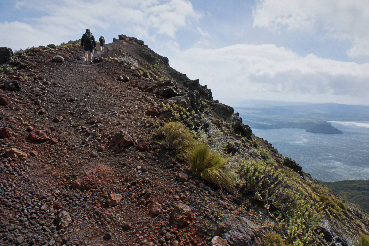
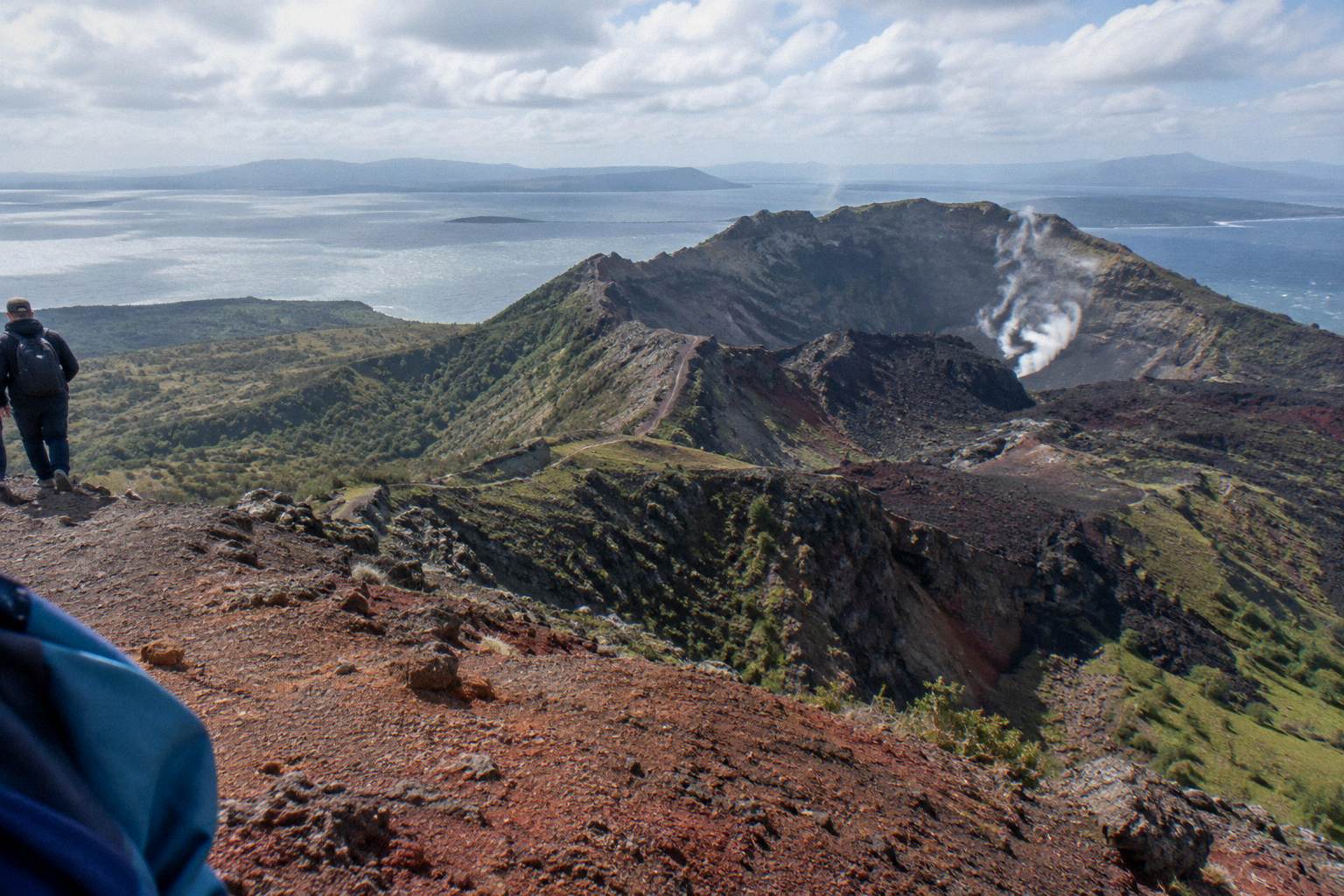
On foot, the route passes benches along the way, and at the 2nd bench the guide shows the summit trail. From there the track climbs volcanic scoria, which the operator's FAQ says can be slippery, with two sections of about 50 m that need four points of contact. The summit of Ruawahia Dome sits at 1,111 m according to GNS Science, and Kaitiaki's half-day page describes 360 degree views from the top plus an optional run down into the crater. The scree on that descent is described, in Kaitiaki's own FAQ words, as "a 45 degree slope approximately 400m deep"; quote it as the operator's wording rather than a survey measurement, because no official crater dimensions appear in any source gathered here.
| Stage | Place in the sequence | What happens there | Where the wording comes from |
|---|---|---|---|
| 1 | Main Carpark, Hemo Road, Whakarewarewa | Meeting point in Rotorua; booking pages offer free pickup from most central Rotorua accommodation | Kaitiaki FAQ and booking page |
| 2 | Road to the mountain | About 30 minutes' drive from Rotorua to the base of the 4WD track | Kaitiaki FAQ |
| 3 | The 4WD track | Roughly 8.2 km of bumpy off-road travel in a 4WD vehicle | Kaitiaki FAQ |
| 4 | Base camp | Composting toilet; walking sticks given out; the road ends where the walk (hikoi) starts | Kaitiaki FAQ |
| 5 | Benches along the track | Rest points; at the 2nd bench the guide shows the summit trail | Kaitiaki FAQ |
| 6 | Summit trail to Ruawahia | Volcanic scoria that can be slippery; two sections of about 50 m need four points of contact | Kaitiaki FAQ |
| 7 | The summit, 1,111 m | 360 degree views per Kaitiaki; optional run down into the crater | GNS Science; Kaitiaki half-day page |
The whole trip is given as about 4.5 hours in all on the booking page, which includes a local guide, 4x4 transport and about 90 minutes of guided crater walking. Those components are never added together here into a derived total, because the operator presents them separately. For a fuller narrative of the day once you can picture the chain of places, the step-by-step crater walk guide walks through the experience in order.
If the sequence sounds like your kind of morning, three trips on the mountain follow the pattern in different ways:
- Half-Day 4WD Crater Walk
- Floatplane Flyover, No Landing
- 40-Minute Helicopter Summit Landing
- Rafting And Summit Walk Combo
- 1-Hour Helicopter Mountain Landing
- Orakei Korako Dual Landing
Meeting Points And How Each Tour Begins
Kaitiaki's trips begin at the Main Carpark, Hemo Road, Whakarewarewa, with free pickup from most central Rotorua accommodation offered on the booking page; the Kaituna combo begins with complimentary transport from central Rotorua accommodation or the Rotorua Information Centre, with 22 pickup options; every Volcanic Air flight begins at the Rotorua City Lakefront helipad, 1 Lakefront Drive, Ohinemutu, and ends back there.
Each start point tells you something about the day. The Hemo Road carpark is a town meeting point, so the first half hour of the trip is spent travelling toward the mountain before the 4WD section even begins. The lakefront helipad, by contrast, is where the flying part starts immediately: Volcanic Air's 40-minute summit landing flight departs Lakefront Drive and passes over lakes Okareka, Okataina and Tarawera before its landing and guided summit walk. The operator's own page describes that walk as 15 minutes, while the booking page says about 20 minutes; both wordings are given here, attributed to each.
The Kaituna Rafting And Tarawera Crater Walk Combo works differently again, because it is two separately timed activities. Complimentary transport from central Rotorua accommodation and the Rotorua Information Centre appears on the booking page with 22 pickup options, and you are returned after the first activity, then collected again for the second. It runs about 9 hours in all, with about 1.5 hours of Kaituna River rafting, of which about an hour is on the water, plus 4x4 transport up the mountain and a 90-minute guided crater walk.
| Trip | Start point | Getting there | Total time given |
|---|---|---|---|
| Kaitiaki Half-Day 4WD And Crater Walk | Main Carpark, Hemo Road, Whakarewarewa | Free pickup from central Rotorua accommodation offered on the booking page | 4 hours 30 minutes |
| Kaituna Rafting And Tarawera Crater Walk Combo | Central Rotorua pickup points | Complimentary transport, 22 pickup options, with a return between the two activities | 9 hours |
| Volcanic Air 40-Minute Summit Landing Flight | Rotorua City Lakefront helipad, 1 Lakefront Drive | Make your own way to the lakefront; no hotel pickup is claimed | 40 minutes |
| Tarawera Scenic Floatplane Flyover | Rotorua lakefront floatplane base, 1 Lakefront Drive | Make your own way to the lakefront; no hotel pickup is claimed | 30 minutes |
The full half-day sequence is the natural first choice for most readers of these pages, and it can be booked directly: see the Kaitiaki half-day 4WD and crater walk tour page, or check availability for your date.
What The Helicopter Route Shows From Above
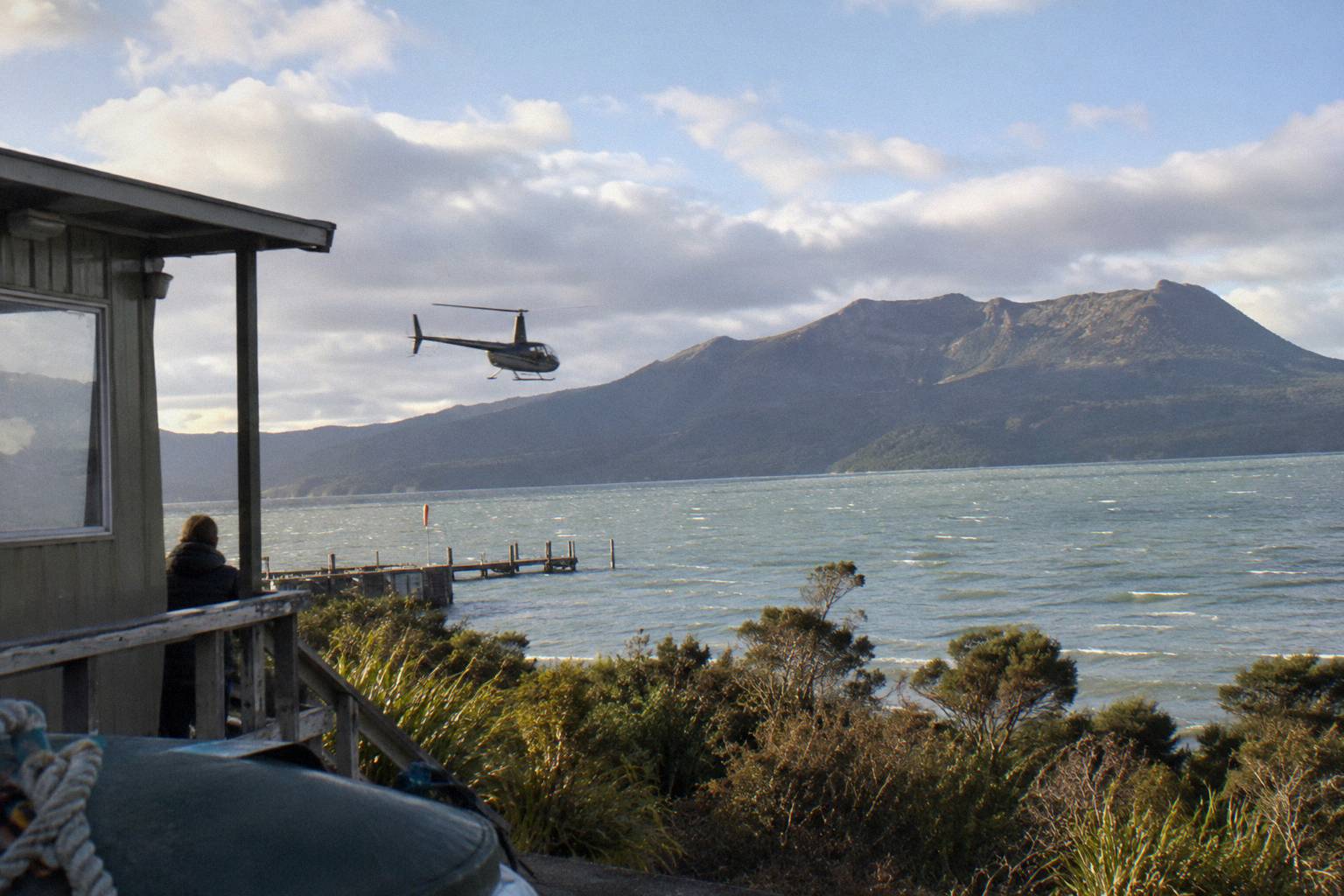
The Volcanic Air 40-minute landing flight leaves the lakefront, crosses lakes Okareka, Okataina and Tarawera, then lands on the summit for a guided walk of 15 minutes per the operator page or about 20 minutes per the booking page. The landing itself is always at the pilot's sole discretion, depending on weather, volcanic activity and passenger loadings, in Volcanic Air's own wording.
That discretion clause is worth reading twice before you book any helicopter product on the mountain. Volcanic Air states: "Tour duration, flight times and inclusions may vary due to weather conditions, volcanic activity and passenger loadings. Excursion landings are undertaken at your own risk and such landings are at your pilot's sole discretion." The flight still shows you the rifted domes from above if the landing cannot happen, but no landing and no view is ever guaranteed, and nothing here should be read as promising either.
The airborne route is the one part of the Tarawera story a walker never gets: the three lakes in sequence, then the summit ridgeline from the air. The 40-minute flight is priced from NZ$675 per person and carries a 4.9 rating across 43 reviews; amounts throughout these pages are New Zealand dollars. Weight rules on the booking page are 135 kg per seat, with the second booking page adding that passengers over 110 kg may get specific seating and individual weights taken at booking. Infants sit on laps, a minimum of 2 adult fares is needed for the flight to operate, and the trip is not wheelchair accessible; for age rules, ask Volcanic Air.
A longer variant, the Volcanic Air 1-Hour Mountain Landing Flight, runs about 1 hour with about 20 minutes on Mount Tarawera, a pilot-guide and headsets; check the booking page for the current price. Its weight rule reads 110 kg total per passenger on the booking page, with the same minimum of 2 adult fares. Free cancellation up to 24 hours applies on the booking page for both flights.
The Scree, The Summit And What The Route Asks Of You
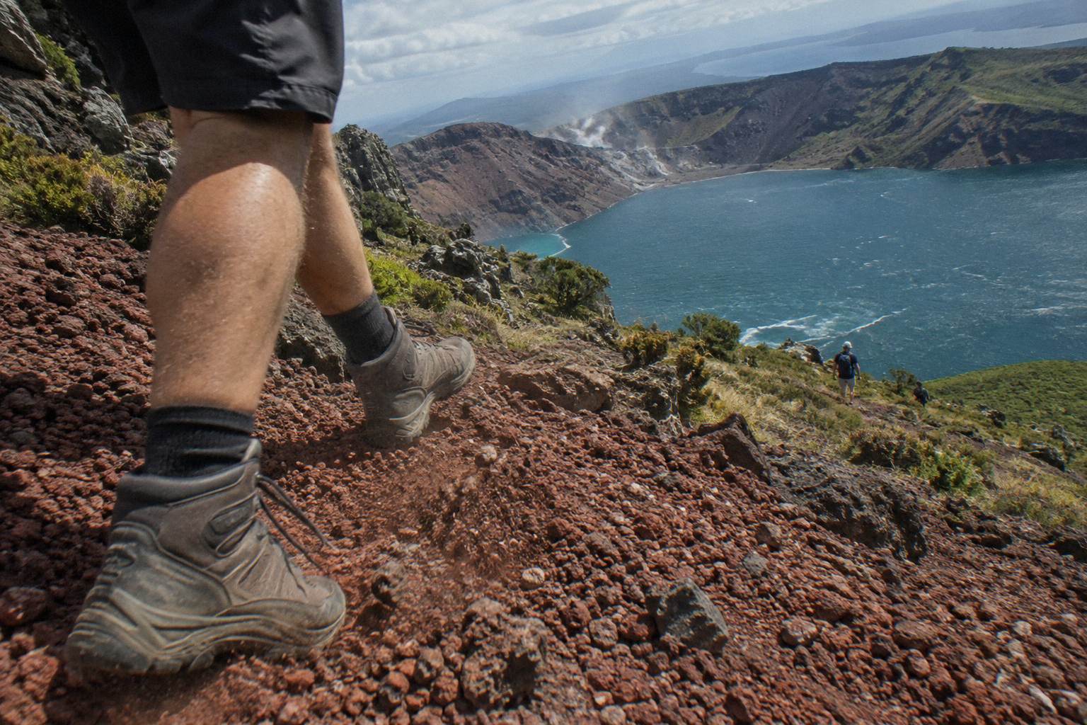
The summit track needs what Kaitiaki calls a medium to moderate fitness level, over volcanic scoria that can be slippery, with two sections of about 50 m requiring four points of contact; the scree into the crater is described in the operator's FAQ words as "a 45 degree slope approximately 400m deep". Guests may take lighter walking options instead of the summit, and the minimum age is 7 as the operator states.
Fitness language gets flattened online into easy or hard verdicts, and neither appears here because the operator gives only its moderate rating. The booking page lists low fitness, back problems, heart problems and serious medical conditions as not suitable, and the trip as not wheelchair accessible. What you can plan around is the surface: scoria underfoot, benches for pauses, and walking sticks handed out at base camp. Sturdy walking shoes are the call, and the operator says sturdy trainers are fine.
The optional crater run changes the character of the day. Kaitiaki's half-day page mentions an optional run down into the crater, and the scree wording quoted above belongs to that part of the route. If you would rather read the full difficulty picture before deciding, the crater walk difficulty and fitness guide sets out everything the operator publishes, and the scree run into the crater guide covers the descent itself.
What you carry matters as much as what you can climb. Kaitiaki says it provides no snacks, so bring water and food; motion sickness on the 4WD section is worth mentioning to your guide in advance, as the operator's FAQ advises. The what to wear and bring guide lists the full kit. For younger walkers, the guided hike with kids and age limits guide explains how the minimum age of 7 applies to the half-day and 13 to the Kaituna combo.
Which Route Suits Which Traveller?
Choose the 4.5-hour walk for the full road-to-summit sequence on foot, the 9-hour Kaituna combo to pair rafting with the crater in one day, or the 40-minute or 1-hour helicopter flights for lakes from the air plus a summit landing. Pick the 30-minute floatplane flyover, from NZ$395 per person and rated 4.8 across 48 reviews, for the view without landing; formats differ, and none is called better than another.
The comparison below sticks to stated facts only: duration, from-price, rating with its review count, and how each trip touches the mountain. Where no price appears, check the booking page for the current detail. Free cancellation up to 24 hours applies on the booking page for every trip in the table.
| Trip | Format | Time | From-price | Rating and reviews | How it meets the mountain |
|---|---|---|---|---|---|
| Kaitiaki Half-Day 4WD And Crater Walk | 4WD plus guided walk | 4 hours 30 minutes | ask when you book | 4.9 across 359 reviews | Summit walk on foot, about 90 minutes guided crater walking |
| Kaituna Rafting And Tarawera Crater Walk Combo | Rafting plus guided walk | 9 hours | ask when you book | Rating at booking | Whitewater in the morning or afternoon, 90-minute crater walk |
| Volcanic Air 40-Minute Summit Landing Flight | Helicopter landing | 40 minutes | from NZ$675 per person | 4.9 across 43 reviews | Summit landing at the pilot's discretion, guided walk of 15 or about 20 minutes depending on the page |
| Volcanic Air 1-Hour Mountain Landing Flight | Helicopter landing | 1 hour | ask when you book | Rating at booking | About 20 minutes on the mountain, landing at the pilot's discretion |
| Tarawera And Orakei Korako Dual Landing Flight | Helicopter dual landing | 3 hours | from NZ$1,490 per person | Rating at booking | Tarawera landing plus a ferry to Orakei Korako and a 1-hour self-guided visit |
| Tarawera Scenic Floatplane Flyover | Floatplane flyover, no landing | 30 minutes | from NZ$395 per person | 4.8 across 48 reviews | Flyover only, it does not land on the mountain |
Ratings are shown with their counts and never ranked against each other, because a pool of 43 reviews and a pool of 359 say different things about certainty, not quality. For a deeper cut on the money side, the crater walk cost and what is included guide goes line by line through inclusions.
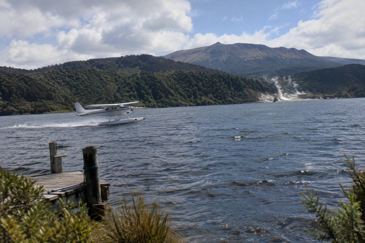
The floatplane deserves its own word of caution, because it is the product most often mis-sold in summary snippets: it is a flyover, no landing, and any sentence that leaves that out is incomplete. It costs from NZ$395 per person, runs 30 minutes from the lakefront floatplane base at the same 1 Lakefront Drive address, and its booking page carries a 135 kg per seat weight rule with infants on laps.
When The Route Works Best In The Year
Rotorua's town climate averages a daily maximum of 23.1 °C in February against 12.0 °C in July, with July the wettest month at 137.4 mm and November the driest at 86.8 mm, over about 118.6 rainy days a year. The summit at 1,111 m is colder and windier than those town figures, and no summit temperatures are published.
Those normals cover the town at about 280 m elevation, from the 1991 to 2020 series, and they are a planning range rather than a forecast. What they suggest is simple: summer months give the friendliest ground conditions for scoria underfoot, while winter trips are perfectly feasible but ask for more layers and more respect for wind on an exposed ridge. Landing flights add a second weather dependency, since the pilot's discretion clause covers volcanic activity and loadings as well as conditions.
Every trip here carries free cancellation up to 24 hours on the booking page, which softens the gamble that a mountain day always involves. The which months suit a crater walk guide works through the seasons in detail, and the crater walk and landing weather guide explains how the two formats handle a bad forecast differently.
Route Mistakes To Avoid
The common mistakes are treating the lake-edge Tarawera Trail as a summit route, expecting to drive or bike to the top, booking a flyover while expecting a landing, adding the drive, stop and walk into a self-made total, and planning the day around no departure time being published. Each one is avoidable with the operator's own wording in front of you.
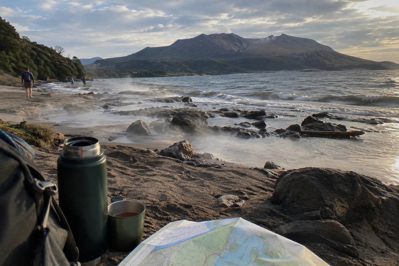
The trail mix-up comes first because it wastes whole days. DOC's Tarawera Trail is a 15 km advanced tramping track between the Te Wairoa car park and the Hot Water Beach campsite via Te Rata Bay, and it never climbs the volcano; dogs, bikes and vehicles are not permitted on it, and DOC notes occasional rock falls plus very hot patches of sand at the beach. The summit route, by contrast, runs through a licensed operator on private land.
The second mistake is arithmetic. The operator gives about 30 minutes of driving, roughly 8.2 km of 4WD track, and about 90 minutes of guided crater walking within a stated 4.5-hour whole; travellers who sum the pieces themselves usually underestimate the handovers, the base camp stop and the benches. Trust the stated total and ask the operator about the day's shape when you book, since departure times are not published.
Third, read the flyover line carefully. The Tarawera Scenic Floatplane Flyover does not land on the mountain, and the floatplane variants that do touch down land at Orakei Korako, not on Tarawera. Fourth, expect no toilet beyond the composting toilet at base camp on the walking route, a fact many guests meet for the first time mid-trip; the are there toilets on the crater walk post covers it plainly.
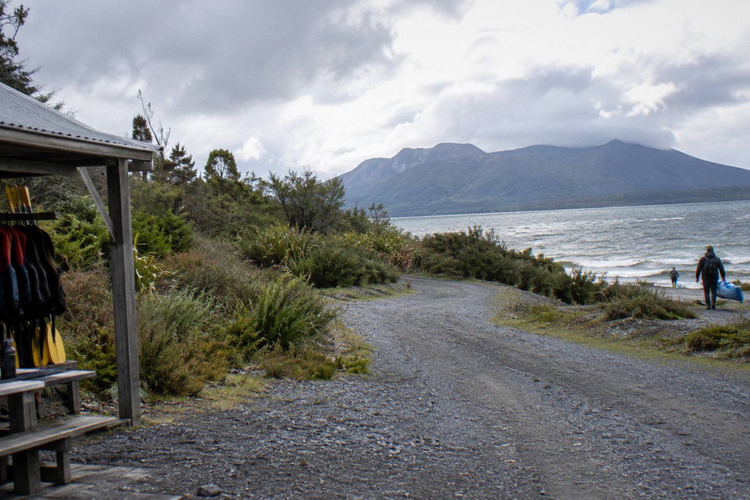
Fifth, pair the mountain with the right neighbours rather than the wrong ones. The Buried Village of Te Wairoa on Tarawera Road is open 10am to 4pm Wednesday to Sunday, with last entry at 3.45pm, and it sits close to the lake trailhead rather than the summit route. Waimangu Volcanic Valley describes its geothermal system as formed as the result of the eruption on 10 June 1886, which makes it the natural chronological companion to a crater walk; the Waimangu Valley and the crater walk guide shows how to sequence them.
However you build the day, the place to start is a route you can picture end to end, and Mt Tarawera Volcano Hike exists to make that picture plain before you spend anything.
Common Questions About The Mount Tarawera Route
Where Does The Mount Tarawera Crater Walk Route Start?
It starts at the Main Carpark on Hemo Road, Whakarewarewa, in Rotorua. The booking pages also offer free pickup from most central Rotorua accommodation, though no pickup or departure times are published, so ask when you book.
Can You See The Crater Walk Route On A Map?
Not as a public trail. The mountain is private land governed by Ruawahia 2B Trust, and no map coordinates, route length or ascent figure is published for the summit walk. The route is best understood as a sequence of places: the Hemo Road carpark, about 30 minutes of driving, roughly 8.2 km of 4WD track, base camp, the benches, the 2nd bench, and the summit trail to 1,111 m.
Where Do The Helicopter Tours To Mount Tarawera Leave From?
From the Rotorua City Lakefront helipad at 1 Lakefront Drive, Ohinemutu. The floatplane flyover leaves from the lakefront floatplane base at the same address. Each trip ends back at its meeting point, and no hotel pickup is claimed for the flights.
Is The Tarawera Trail The Same As The Crater Walk Route?
No. The Tarawera Trail is a DOC advanced tramping track of 15 km that runs along the lake edge from the Te Wairoa car park to the Hot Water Beach campsite via Te Rata Bay. It does not climb the volcano, and dogs, bikes and vehicles are not permitted on it.
How Long Does The Whole Crater Walk Route Take?
The booking page gives about 4.5 hours in all for the Kaitiaki Half-Day 4WD And Crater Walk, which includes the drive, the 4x4 transport, a local guide and about 90 minutes of guided crater walking. The components are never summed separately here, and the operator's stated total is the one to plan around.
Does The Helicopter Route Always Land On The Summit?
No. Volcanic Air states that excursion landings are at the pilot's sole discretion and depend on weather, volcanic activity and passenger loadings. The flight still crosses lakes Okareka, Okataina and Tarawera, but neither a landing nor a view is guaranteed.