Mt Tarawera Crater Walk Photos And Viewpoints
Photo-driven travellers face a real fork at Mt Tarawera: walk into the crater on foot, land on the summit by helicopter, or fly over without landing. Here is what each format lets you see, in the operators' own words.
Short answer
The guided walk gets you inside the crater with roughly 90 minutes on foot and views Kaitiaki calls 360 degree. The 40-minute helicopter flight crosses lakes Okareka, Okataina and Tarawera before a short summit walk, from NZ$675 per person. The floatplane flyover, from NZ$395 per person, 4.8 across 48 reviews, overflies the volcano and does not land. All amounts are New Zealand dollars.
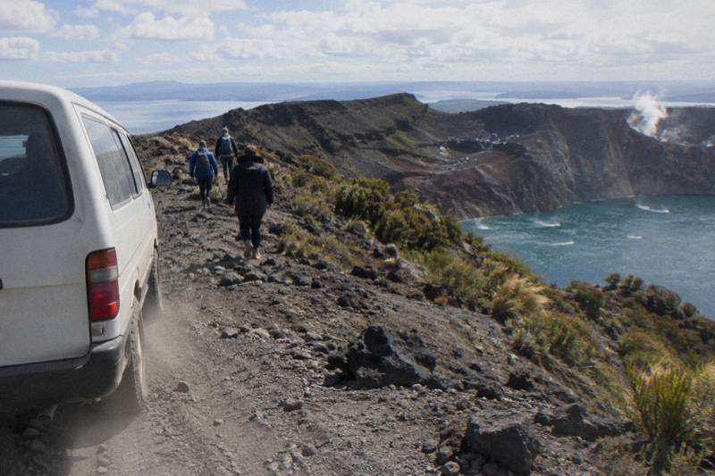
Mt Tarawera rises 1,111 m above the Rotorua lakes district, and the three domes along its ridge, Ruawahia, Tarawera and Wahanga, were reshaped in a single night. GNS Science records the 10 June 1886 eruption as New Zealand's largest during the last 500 years; the sound was heard as far as Blenheim and ash fell as far as Christchurch. That violent history is exactly what a camera goes up there for: red scoria slopes, a crater torn open along the mountain, and a chain of blue lakes spread below. What a visitor can actually see, and from where, depends entirely on the format booked: a guided walk into the crater, a helicopter landing on the summit, or a floatplane flyover that never touches down.
The mountain sits on private land governed by the Ruawahia 2B Trust, which reinvests most tourism concession revenue in conservation, wilding pine removal first, and Ngati Rangitihi hold kaitiakitanga over the maunga. Kaitiaki Adventures and Volcanic Air describe themselves as concessionaires working alongside Ngati Rangitihi. That structure is why summit trips run as guided experiences rather than free-ranging photo expeditions, and it shapes what a photographer can plan for. It also means the money spent on a ticket does quiet work on the ground, funding the removal of wilding pines that would otherwise choke the native bush reclaiming the volcanic slopes, a detail worth remembering when framing a shot of the red rock against regenerating green.
What Can You Actually See From Mt Tarawera?
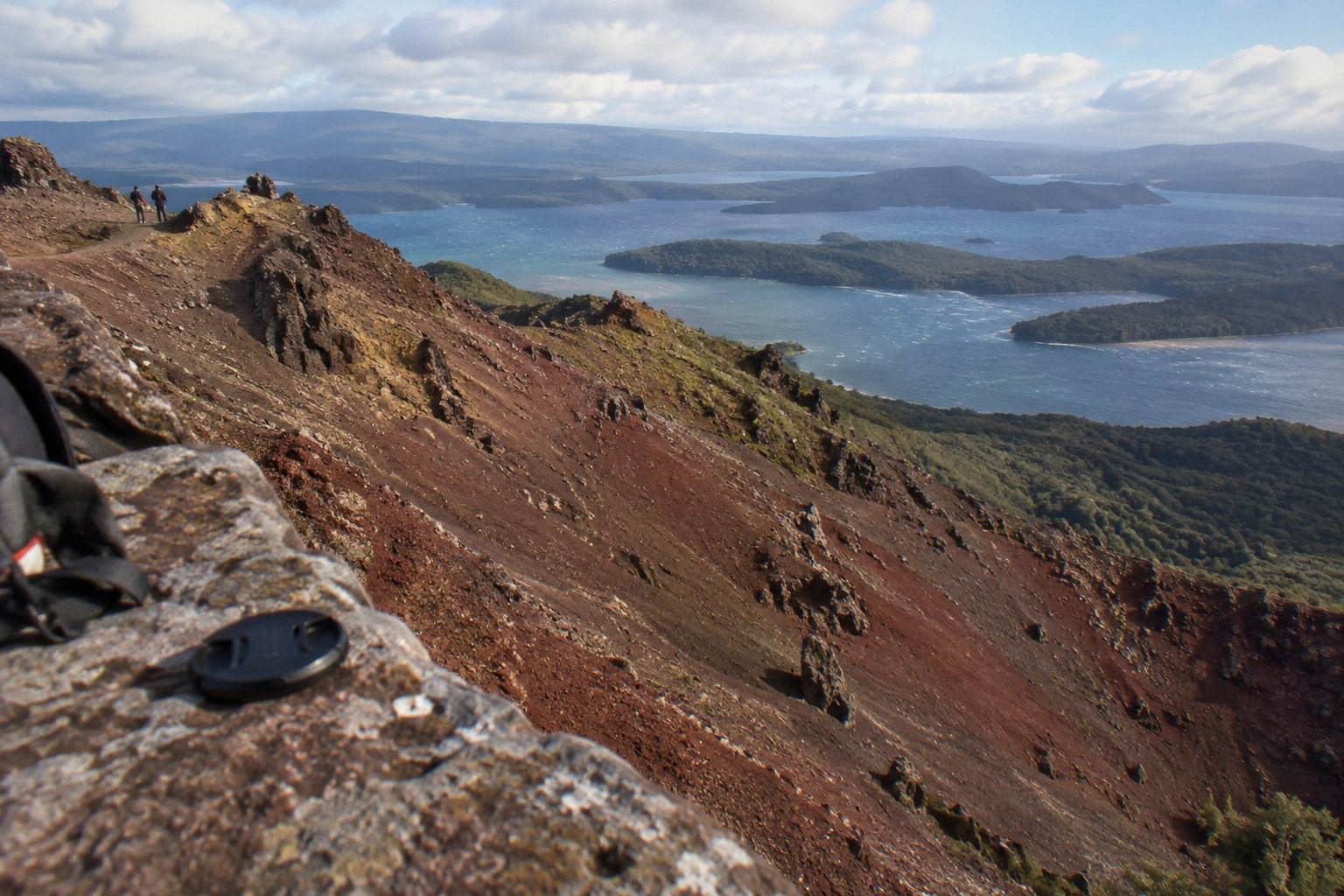
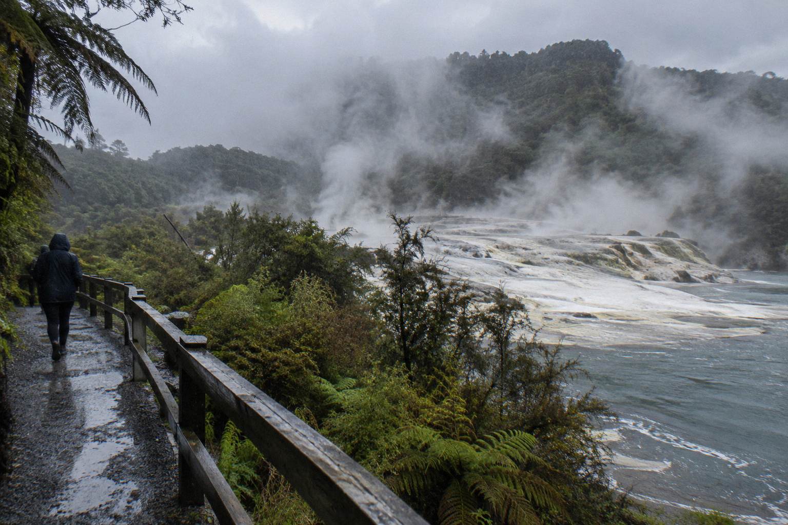
From the summit of Ruawahia the guided walk reaches 1,111 m, the highest of the three domes, and Kaitiaki's own page describes the reward as 360 degree views. From the air, the Volcanic Air helicopter route crosses lakes Okareka, Okataina and Tarawera before its summit landing, and the floatplane flies over Mt Tarawera and the volcanic landscape with pilot commentary. No operator promises a specific shot, and landings are never guaranteed.
Two of those view claims come straight from the operators. Kaitiaki's half-day page, the Mt Tarawera Volcanic Crater Experience, sums up the summit in its own words as 360 degree views, and that wording is the operator's, not a measurement. The crater itself, the red scree runs, the rifting from 1886, all of it sits on private land under a concession system, so the walk comes with a guide who moves at the group's pace.
The aerial formats see different things. Volcanic Air's landing flight departs from Lakefront Drive on the Rotorua City Lakefront and passes over lakes Okareka, Okataina and Tarawera before landing on the summit for a guided walk. The floatplane page describes flights over Mt Tarawera and Waimangu. A flyover frames the whole volcanic landscape in one sweep; a landing puts a camera on the summit rock for a short guided walk; the 4WD-and-walk format puts boots on scoria for roughly 90 minutes of guided crater walking per the booking page wording. For the full picture of how those formats differ, the walk, 4WD or helicopter comparison breaks down each option end to end.
No one can promise you the shot, not even your guide. Volcanic Air states that tour duration, flight times and inclusions may vary due to weather conditions, volcanic activity and passenger loadings, and that excursion landings are at your pilot's sole discretion. GeoNet publishes the current volcanic alert level for the Okataina Volcanic Centre, the caldera that contains Tarawera; check it before you travel. Conditions on any given day decide what a lens actually captures. Check the current status at GeoNet's volcano page.
Walk, Helicopter Landing Or Flyover: Which Format Shows More?
The guided half-day walk gives roughly 90 minutes on foot in the crater area over 4 hours 30 minutes total, rated 4.9 across 359 reviews, with no amount on the booking page. The 40-minute helicopter landing flight costs from NZ$675 per person, 4.9 across 43 reviews. The 30-minute floatplane flyover costs from NZ$395 per person, 4.8 across 48 reviews, flyover with no landing. Each format photographs the mountain differently.
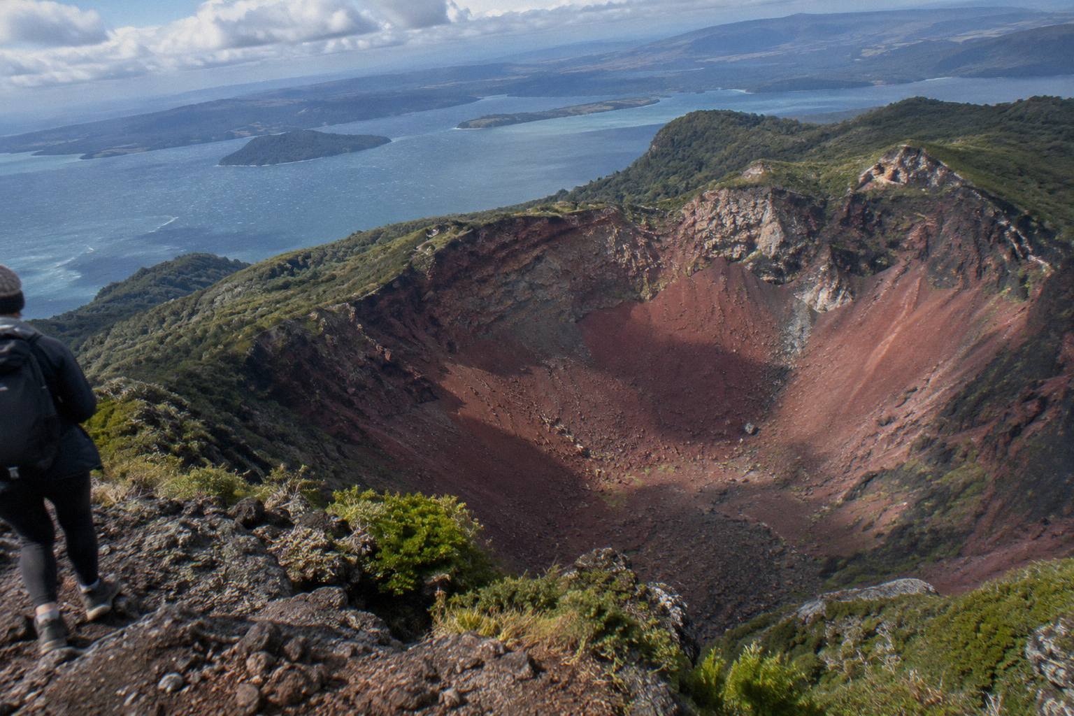
Think of the three formats as three focal lengths. The walk is the wide, close option: hours on the mountain, time to wait for cloud to shift, and the only format that walks down into the crater on foot, with Kaitiaki's half-day page mentioning an optional run down into the crater. The helicopter landing is the compressed option: minutes in the air over three lakes, then a short guided walk on the summit, the operator page says 15 minutes and the booking page says about 20. The flyover is the panorama: the whole volcano and the volcanic landscape in one continuous frame, but never standing on it.
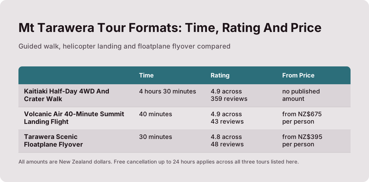
| Format | Tour | Time | Rating | From price | What you photograph |
|---|---|---|---|---|---|
| Guided walk | Kaitiaki Half-Day 4WD And Crater Walk | 4 hours 30 minutes | 4.9 across 359 reviews | check the booking page for the current price | Crater interior on foot, scree, summit views |
| Helicopter landing | Volcanic Air 40-Minute Summit Landing Flight | 40 minutes | 4.9 across 43 reviews | from NZ$675 per person | Three lakes from the air, then the summit on foot |
| Flyover | Tarawera Scenic Floatplane Flyover | 30 minutes | 4.8 across 48 reviews | from NZ$395 per person | Mt Tarawera and the volcanic landscape, airborne only |
Free cancellation up to 24 hours applies on the booking page across all three. A reader who wants to stand on the summit should head to the walk or the landing flights; a reader who wants the whole caldera in one frame should consider the flyover. All amounts here are New Zealand dollars.
For photographers the sequencing question matters as much as the format question. The walk spends the longest time at altitude, so it carries the most chances for light to change. The flyover packs the most geography into half an hour. The landing flight splits the difference, though its summit time is short and its landing depends on the pilot's call.
What Does The Guided Crater Walk Let You Photograph?
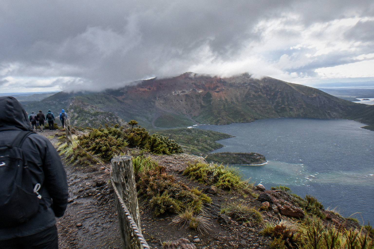
The half-day trip runs 4 hours 30 minutes, meets at the Main Carpark on Hemo Road in Whakarewarewa, and reaches the summit of Ruawahia at 1,111 m after a 4WD approach of roughly 8.2 km. Kaitiaki describes the scree as a 45 degree slope approximately 400m deep, its own FAQ wording, and the ground is volcanic scoria that can be slippery. Minimum age is 7 as the operator states.
The journey itself is part of the visual story. From the meeting point it is about 30 minutes' drive to the base of the 4WD track, then roughly 8.2 km of bumpy off-road in a 4WD vehicle, with a base camp stop that has a composting toilet and walking sticks. The road ends where the walk starts. Benches sit along the route, and at the second bench the guide shows the summit trail. There are two sections of about 50 m that need four points of contact, which is worth knowing before planning handheld video. A deeper breakdown of the route is in the step-by-step crater walk guide.
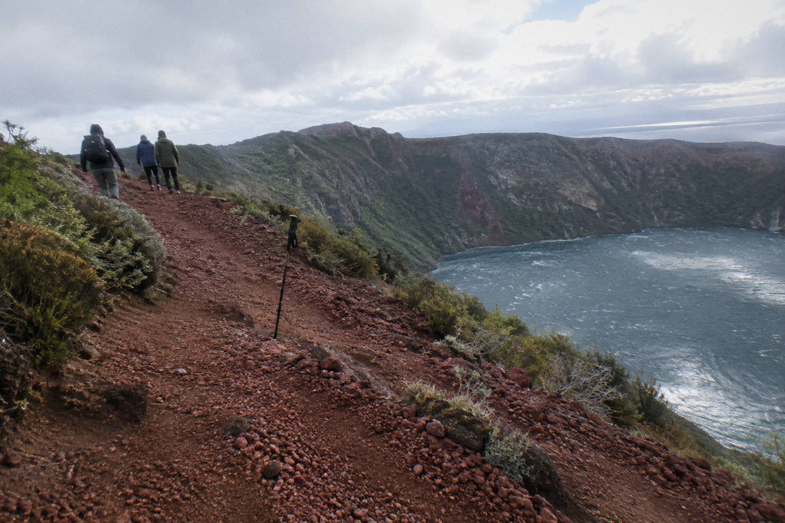
Fitness gates the summit, not the trip. The operator says a medium to moderate fitness level is needed for the summit track, and guests may take lighter walking options instead of the summit. The booking page lists children under 7, low fitness, back problems, heart problems and other serious medical conditions as not suitable, and the trip is not wheelchair accessible. Kaitiaki provides no snacks, so water and food go in the pack alongside the camera. Full details on packing are in what to wear and bring on the crater walk.
For photographers, the operator's FAQ is unusually specific about terrain: the scree is described as "a 45 degree slope approximately 400m deep", and the surface can be slippery, so sturdy shoes matter more than a second lens. Kaitiaki's FAQ, the source for the terrain and journey details above, is at the Kaitiaki Adventures FAQ page.
The rating picture for the walk is 4.9 across 359 reviews, the widest review pool of the six trips covered here, though no rating says anything about light on any given morning. The walk's real photographic edge is simply time: more of it on the mountain than any other format.
What Does The Helicopter Landing Flight Show You?
The 40-minute flight, from NZ$675 per person and rated 4.9 across 43 reviews, departs the Rotorua City Lakefront and crosses lakes Okareka, Okataina and Tarawera before landing on the summit for a guided walk. The operator page gives 15 minutes on the summit, the booking page about 20 minutes. Landing is at the pilot's sole discretion and is never guaranteed.
The lakes sequence is the operator's stated route, and it is the photographic heart of the flight: three named bodies of water crossed in minutes, then the summit. Volcanic Air's own wording on variability deserves quoting, because it applies to every aerial photograph planned from this trip: "Tour duration, flight times and inclusions may vary due to weather conditions, volcanic activity and passenger loadings. Excursion landings are undertaken at your own risk and such landings are at your pilot's sole discretion." The route details are on the Volcanic Air Tarawera landing page.
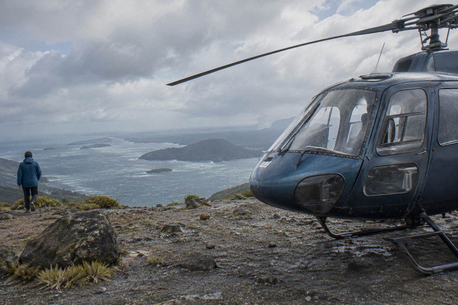
Practical rules frame the booking. Weight limits are 135 kg per seat on the booking page, and a second booking page note says passengers over 110 kg may get specific seating with individual weights taken at booking. Infants sit on laps, a minimum of 2 adult fares applies for the flight to operate, and the trip is not wheelchair accessible. The age rule is one to raise with Volcanic Air directly. Free cancellation up to 24 hours applies on the booking page.
A longer aerial sibling exists too. The Volcanic Air 1-Hour Mountain Landing Flight runs a full hour with a mountain landing of about 20 minutes on Mt Tarawera, headsets to hear the pilot-guide. Weight there is 110 kg total per passenger on the booking page.
For a fuller treatment of the aerial format, see the helicopter landing and summit walk guide. The short version for cameras: the landing flights are the only aerial products that put a photographer physically on the mountain, and even they keep that time short by design.
What Does The Floatplane Flyover Show You?
The Tarawera Scenic Floatplane Flyover costs from NZ$395 per person, runs about 30 minutes, and is rated 4.8 across 48 reviews; it is a flyover with no landing, in the same breath every time. It flies over Mt Tarawera and the volcanic landscape with pilot commentary from the Rotorua lakefront floatplane base, and the operator's floatplane page also describes flights over Mt Tarawera and Waimangu.
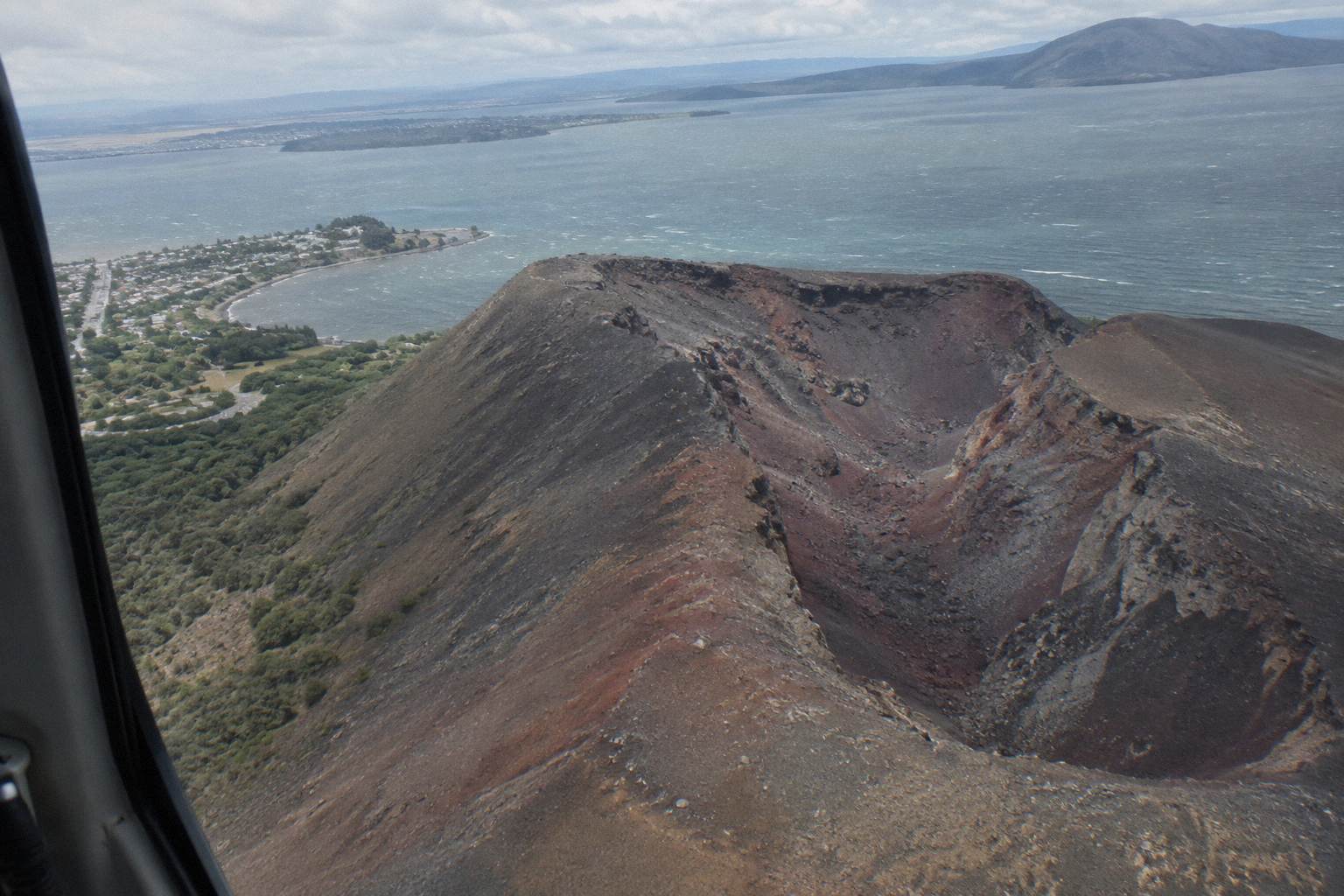
This is the format for the single wide frame: the volcano whole, the caldera context, the volcanic landscape in one continuous pan. It is not the format for standing anywhere. Weight is 135 kg per seat on the booking page, infants sit on laps, and the trip is not wheelchair accessible. The booking page offers free cancellation up to 24 hours, a full refund if the operator cancels for weather, and minimum numbers apply. The age rule is one to raise with Volcanic Air. The wider set of guides lives on Mt Tarawera Volcano Hike.
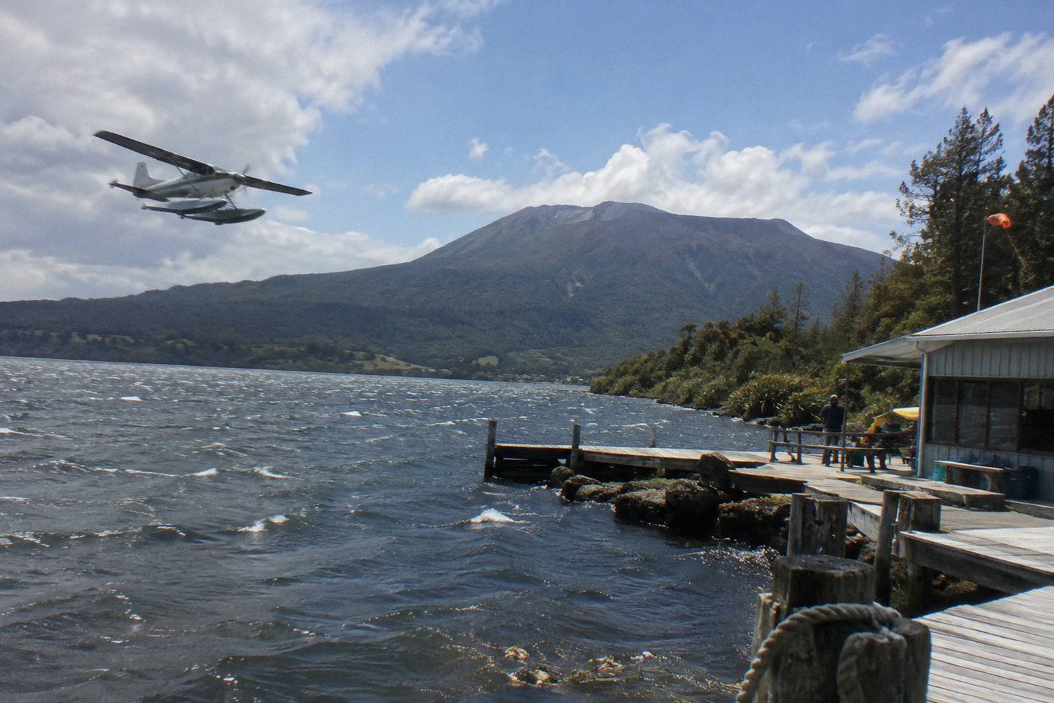
Readers deciding between the floatplane and a landing can weigh the floatplane against the helicopter options directly, and check availability for the dates in mind. The comparison is simple at heart: NZ$395 from-price for 30 airborne minutes over the landscape, against NZ$675 from-price for a shorter airborne window that ends with boots on the summit. Neither price promises a photograph; both are booking-page from-prices per person.
At the top of the aerial ladder sits the Tarawera And Orakei Korako Dual Landing Flight, from NZ$1,490 per person over 3 hours, which pairs a Mt Tarawera landing and guided walk with a ferry transfer to Orakei Korako and a 1-hour self-guided visit there, admission included. It carries no rating yet, and its weight limit reads 130 kg total per passenger on the booking page. That is the format for a day built almost entirely around geothermal imagery. Weighing a two-stop aerial day against a single mountain landing? The dual landing runs three hours, the longest of the four aerial tours, and it is the only one that pairs two geothermal destinations in one departure.
What Can Weather Do To A Tarawera Photo Plan?
Every aerial product here is weather dependent: Volcanic Air says durations, flight times and inclusions may vary with weather, volcanic activity and passenger loadings, and landings sit at the pilot's sole discretion. The 40-minute landing and floatplane booking pages both promise a full refund if the operator cancels for weather. Free cancellation up to 24 hours applies to all six trips.
Climate context helps set expectations, with one caveat: the town figures sit at about 280 m elevation, and the summit at 1,111 m runs colder and windier than any of them. Rotorua's 1991 to 2020 normals show a mean daily maximum of 12.0 °C in July against 23.1 °C in February. July is the wettest month at 137.4 mm of rain; November is the driest at 86.8 mm. The town averages about 1,355.6 mm of rain a year across about 118.6 rainy days, so a build day into any photo plan is cheap insurance.
| Month | Mean daily max | Mean rainfall |
|---|---|---|
| February | 23.1 °C | 100.4 mm |
| May | 15.2 °C | 130.2 mm |
| July | 12.0 °C | 137.4 mm |
| November | 18.6 °C | 86.8 mm |
The seasonal planning angles are covered in full in which months suit a crater walk and crater walk and landing weather. For photographs specifically, the numbers above say one thing plainly: winter brings the coolest air and the most rain, and no season on this table promises clear summit light.
What Should You Ask Before Booking Any Format?
Ask what happens if weather cancels the flight or landing, what the weight and age rules mean for your group, where the trip meets and whether pickup is offered, what is actually included, and how long you spend at each viewpoint. Every one of those answers changes the photograph you come home with, and several are not published, so they belong in a pre-booking question list.
The list of things to confirm before you book is short, and it comes straight from the operators' own published details.
| Question to ask | Why it matters for a photo trip |
|---|---|
| Is my date's departure time fixed or shifting? | Confirm departure times at booking; light depends on them |
| What happens if the landing is waved off? | Volcanic Air landings are at the pilot's sole discretion |
| What is the refund if weather cancels? | The landing and floatplane booking pages say full refund on operator weather cancellation |
| What weight and seating rules apply? | Per-seat limits of 135 kg, 130 kg or 110 kg vary by product |
| What is the minimum group? | Aerial trips need a minimum of 2 adult fares to operate |
| How long on the summit or in the crater? | 90 minutes walking, or 15 to 20 minutes by air, frames your shooting plan |
| Is pickup available for my accommodation? | The Kaitiaki booking pages offer free pickup from central Rotorua; ask about timing |
One combination worth naming for a full-day shoot: the Kaituna Rafting And Tarawera Crater Walk Combo runs about 9 hours, pairing roughly 1.5 hours of Kaituna River whitewater, about an hour of it on the water, with 4x4 transport up Mt Tarawera and a 90-minute guided crater walk, plus complimentary transport from central Rotorua across 22 pickup options. Minimum age is 13, and low fitness is not suitable.
Common Mistakes When Planning Tarawera Photos
The recurring mistakes are assuming a landing is guaranteed, expecting the flyover to touch down, booking without checking weight rules, skipping the fitness question on the walk, and treating town climate figures as summit conditions. Each one is avoidable with a question asked before payment, and none of them is obvious from a price tag alone.
First, treating a summit landing as certain. Volcanic Air's own words put landings at the pilot's sole discretion, dependent on weather, volcanic activity and passenger loadings. Build the photo plan around the flight, and treat the landing as the bonus it legally is. Second, mixing up the floatplane with the landing flights. The floatplane is a flyover with no landing, every time, and a photographer who books it expecting summit time will watch the mountain from a window.
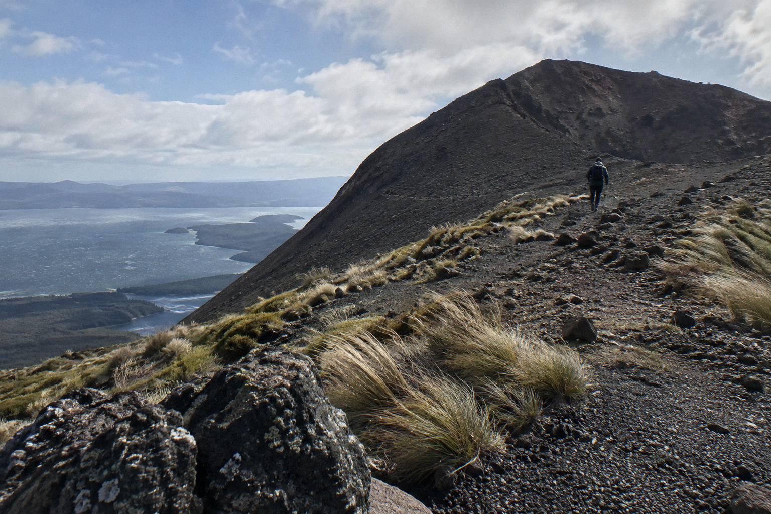
Third, ignoring the weight and age rules until check-in. Per-seat weight limits differ by product, 135 kg, 130 kg or 110 kg, and individual weights are taken at booking on some flights. Fourth, underestimating the walk: the operator calls the summit track moderate, the scree is steep by its own description, and two short sections need four points of contact, which is awkward with two hands full of camera. Fifth, reading Rotorua's town temperatures as summit temperatures; the summit sits at 1,111 m and behaves like it. The full difficulty picture is in the crater walk difficulty and fitness guide, and the scree itself is covered in the scree run explainer.
Common Questions About Mt Tarawera Photos And Viewpoints
Can You Photograph The Crater From Inside It?
Yes, on foot. The Kaitiaki Half-Day 4WD And Crater Walk includes roughly 90 minutes of guided crater walking per the booking page wording, and Kaitiaki's half-day page mentions an optional run down into the crater. No aerial product puts you inside the crater.
Which Tour Gives The Best Views Of Mt Tarawera?
No format is objectively best. The walk gives the longest time on the mountain, the helicopter landing crosses lakes Okareka, Okataina and Tarawera before a short summit walk, and the floatplane flyover frames the whole volcanic landscape in one 30-minute pass without landing. Ratings, 4.9 across 359 reviews for the walk and 4.9 across 43 for the landing flight, measure satisfaction, not scenery.
Is The Summit Landing Guaranteed On The Helicopter Flight?
No. Volcanic Air states that excursion landings are undertaken at your own risk and are at your pilot's sole discretion, and that durations and inclusions may vary due to weather, volcanic activity and passenger loadings. The booking page offers free cancellation up to 24 hours.
Does The Floatplane Land On Mt Tarawera?
No. The Tarawera Scenic Floatplane Flyover is a flyover with no landing, from NZ$395 per person for about 30 minutes, rated 4.8 across 48 reviews. Readers who want to stand on the summit should look at the landing flights or the guided walk.
How Much Does Each Format Cost?
The 40-minute helicopter landing flight runs from NZ$675 per person, the floatplane flyover from NZ$395 per person, and the dual landing flight from NZ$1,490 per person. The guided walk, the 1-hour landing flight and the Kaituna combo carry no published amount, so ask when you book. All amounts are New Zealand dollars.
What Happens If The Weather Is Bad?
The booking pages for the 40-minute landing flight and the floatplane promise a full refund if the operator cancels for weather, and all six trips offer free cancellation up to 24 hours.