Which Months Suit A Mt Tarawera Crater Walk
There is no single right month for a Mt Tarawera crater walk. The right time for you comes down to Rotorua's town climate record, what tour operators say about weather on the mountain, and which discomforts you would rather avoid.
Short answer
Rotorua's town record shows warmest days in February (mean daily maximum 23.1 °C) and the driest month in November (86.8 mm of rain over the 1991 to 2020 normals). July is the coolest and wettest (12.0 °C, 137.4 mm). The summit at 1,111 m is colder and windier than the town, so add margin for every month.
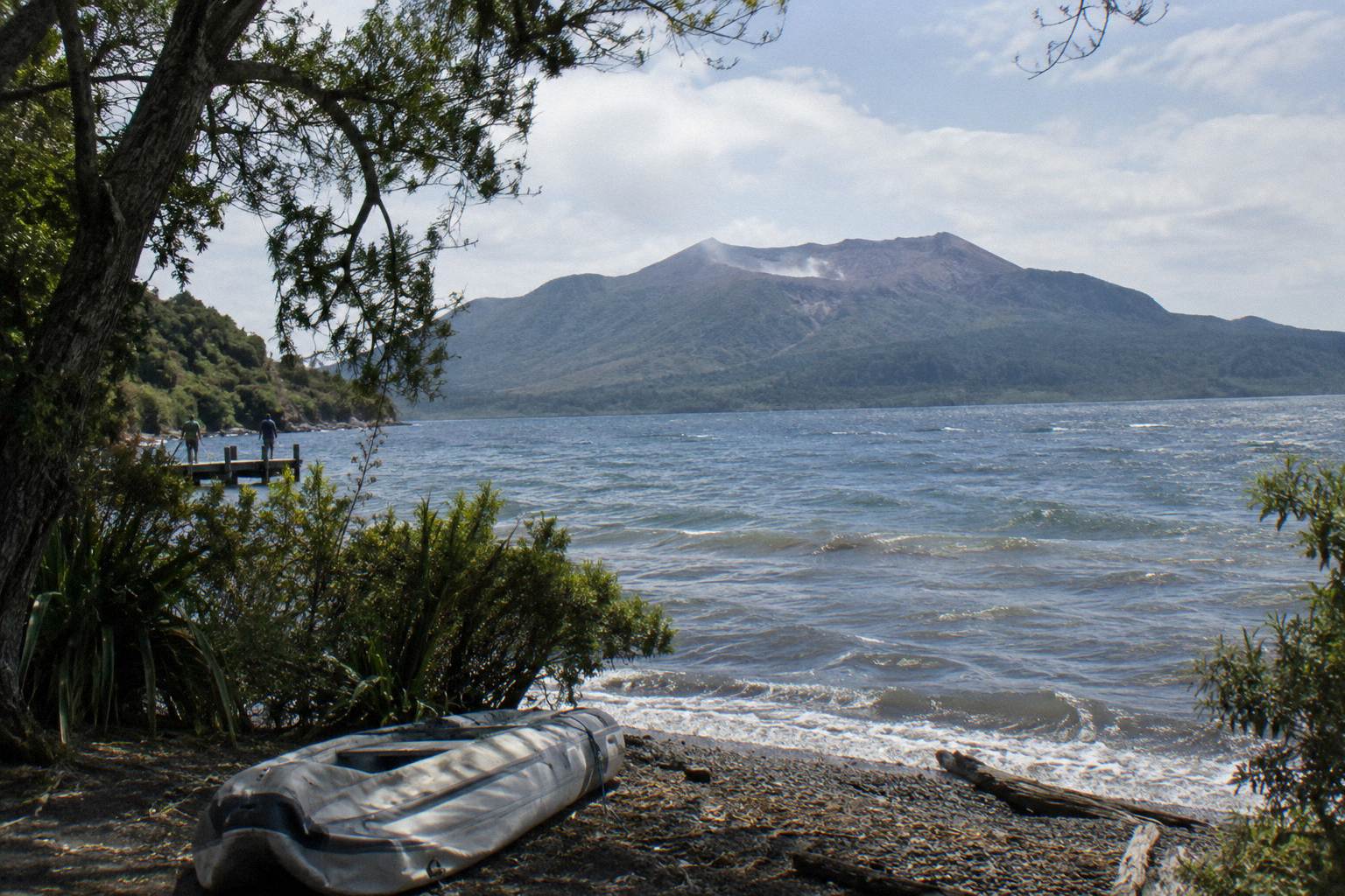
Choosing a month for a Mt Tarawera crater walk is not about finding a magic window. It is about matching what you personally cannot stand, whether that is cold wind on a summit, rain on volcanic scoria, or crowded holiday roads, against a real climate record. The mountain sits at 1,111 m above sea level, and the town of Rotorua, where every trip starts, sits at roughly 280 m. That gap matters: the town numbers below are a floor, not a forecast for the summit.
The other thing worth knowing early is that Mt Tarawera is private land governed by Ruawahia 2B Trust, which reinvests most tourism concession revenue in conservation, with wilding pine removal first, as the Kaitiaki conservation page explains. Ngati Rangitihi hold kaitiakitanga of the maunga, and Kaitiaki Adventures and Volcanic Air describe themselves as concessionaires working alongside Ngati Rangitihi. So the season question is always a question about a guided experience, not a freedom walk, and the guided crater walk format is the anchor of every option covered here.
What The Climate Numbers Actually Show
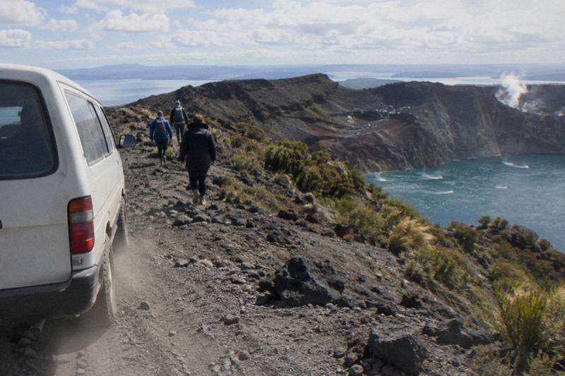
The Rotorua town climate record, covering 1991 to 2020, gives a mean daily maximum of 23.1 °C in February and 12.0 °C in July, with November the driest month at 86.8 mm of rain and July the wettest at 137.4 mm. Those are town figures at about 280 m elevation. The summit of Ruawahia Dome, the highest of the mountain's three domes at 1,111 m, runs colder and windier than any of them, and no source publishes summit temperatures, so treat every number here as a town baseline and pack for less.
Rain falls often rather than hard. The town averages about 1,355.6 mm a year spread over about 118.6 rainy days, which is roughly one day in three with at least a millimetre of rain. That is the single most useful planning fact on the whole page: no month in Rotorua is a dry month. A November trip can still meet a shower, and a July trip can still meet a clear, still morning with a view across to the coast. The record tells you probability, not destiny.
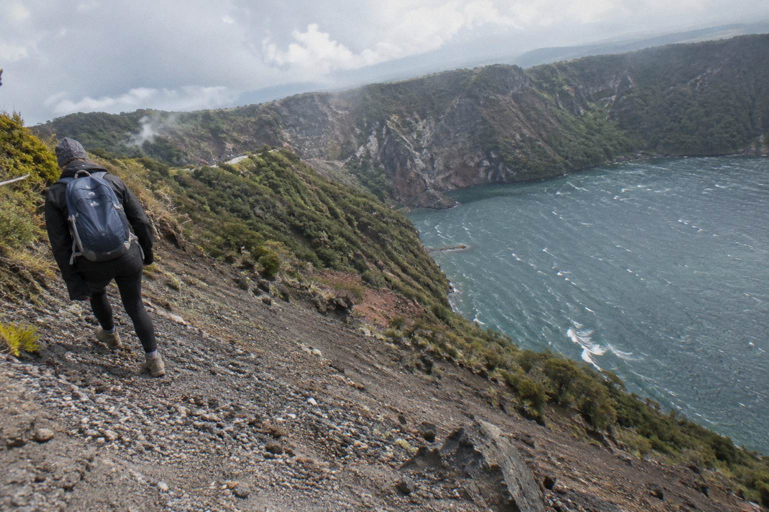
The numbers come from a standard 1991 to 2020 climate normal for the town itself, measured at town elevation. Two cautions to keep in mind. First, they are averages: an individual February day can be 15 °C with drizzle, and an individual July day can be bright and calm. Second, they say nothing about wind, and wind is what shapes a summit experience more than temperature does. Volcanic scoria ground, described as slippery in Kaitiaki's own FAQ wording, is less forgiving in wet conditions, and the 45 degree scree slope, approximately 400 m deep by Kaitiaki's FAQ description, is a different proposition in dry summer grit than after rain.
Month By Month Temperatures And Rainfall
February is the warmest month in the town record at a 23.1 °C mean daily maximum and a 13.1 °C minimum, while July is the coolest at 12.0 °C by day and 3.7 °C by night, and November is the driest at 86.8 mm. The table below lays out all twelve months so you can line up warmth against rainfall and find your own trade-off rather than accepting anyone else's.
| Month | Mean daily max (C) | Mean daily min (C) | Average rainfall (mm) |
|---|---|---|---|
| January | 22.9 | 12.6 | 93.8 |
| February | 23.1 | 13.1 | 100.4 |
| March | 21.1 | 11.1 | 100.3 |
| April | 18.1 | 8.7 | 133.0 |
| May | 15.2 | 6.6 | 130.2 |
| June | 12.7 | 4.4 | 131.9 |
| July | 12.0 | 3.7 | 137.4 |
| August | 12.8 | 4.1 | 125.2 |
| September | 14.5 | 5.8 | 106.6 |
| October | 16.4 | 7.4 | 92.9 |
| November | 18.6 | 9.0 | 86.8 |
| December | 20.8 | 11.5 | 117.1 |
Read the table in pairs rather than single rows. November pairs the lowest rainfall of the year (86.8 mm) with a comfortable 18.6 °C mean daily maximum, which is why many planners land on late spring. October runs close behind at 92.9 mm and 16.4 °C. February gives the warmest temperatures but carries 100.4 mm of rain, essentially the same rainfall as March, so summer buys warmth, not dryness. Midwinter, June through August, combines the year's coolest days with its heaviest rain months, though August at 125.2 mm is slightly drier than either June or July.
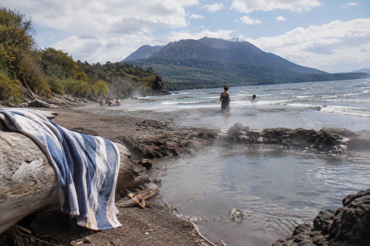
A month choice also changes what the day around the walk can hold. The Buried Village of Te Wairoa on Tarawera Road, a natural pairing with any crater trip, opens 10am to 4pm Wednesday to Sunday with last entry at 3.45pm, so winter weekday visitors have fewer adjacent options than summer weekend visitors. The lake-edge Tarawera Trail, a separate 15 km DOC advanced tramping track to Hot Water Beach via Te Rata Bay, is a different outing entirely; the Tarawera Trail compared with the crater walk explains the distinction, including that dogs, bikes and vehicles are not permitted on it. DOC also notes that localised patches of sand at Hot Water Beach are very hot, a year-round caution rather than a seasonal one.
One more framing before the decision logic: amounts below, where any appear, are in New Zealand dollars, and they are booking-page from-prices per person only. Several trips publish no amount at all, and for those the booking page shows the figure for your date.
Choosing Months If You Dislike Cold Or Rain
If you hate cold, aim for the November through March stretch, when mean daily maxima run 18.6 °C to 23.1 °C in town; if you hate rain, lean toward October, November and December's lower totals, 92.9 mm, 86.8 mm and 117.1 mm, accepting that no month avoids showers. Wind-sensitive walkers should add a layer of caution for every month, because the summit is exposed and no published figure captures it.
| What you dislike most | Months that suit the town record | What to accept |
|---|---|---|
| Cold conditions | November to March | Rainfall near or above 100 mm in Feb and Mar |
| Rain | October and November | Cooler October mornings, 7.4 °C mean minimum |
| Short daylight | October to March | Busier holiday period in Dec and Jan |
| Muggy warmth | April, May, September | Mid-autumn rain near 130 mm in April and May |
| Deep midwinter quiet | June to August | 12.0 to 12.8 °C days, 3.7 to 4.4 °C nights, heaviest rain |
The logic is simple subtraction. Warmth peaks in February, dryness peaks in November, daylight peaks near Christmas, and the intersection of all three does not exist. Decide which discomfort would actually ruin your day. A walker who wilts in heat but shrugs at a shower lands in April or May; a walker who fears slippery scoria more than cold leans toward the drier shoulder months of October and November rather than wet midwinter. The crater walk's fitness demands are moderate either way, and the difficulty and fitness breakdown covers the ground conditions in more depth.
Whichever month you pick, the Kaitiaki Half-Day 4WD And Crater Walk, rated 4.9 across 359 reviews and running 4 hours 30 minutes from the Main Carpark on Hemo Road, operates as the walking anchor; confirm departure times, group size and pickup options when you book. You can read the full Kaitiaki half-day 4WD and crater walk rundown and check availability for your month.
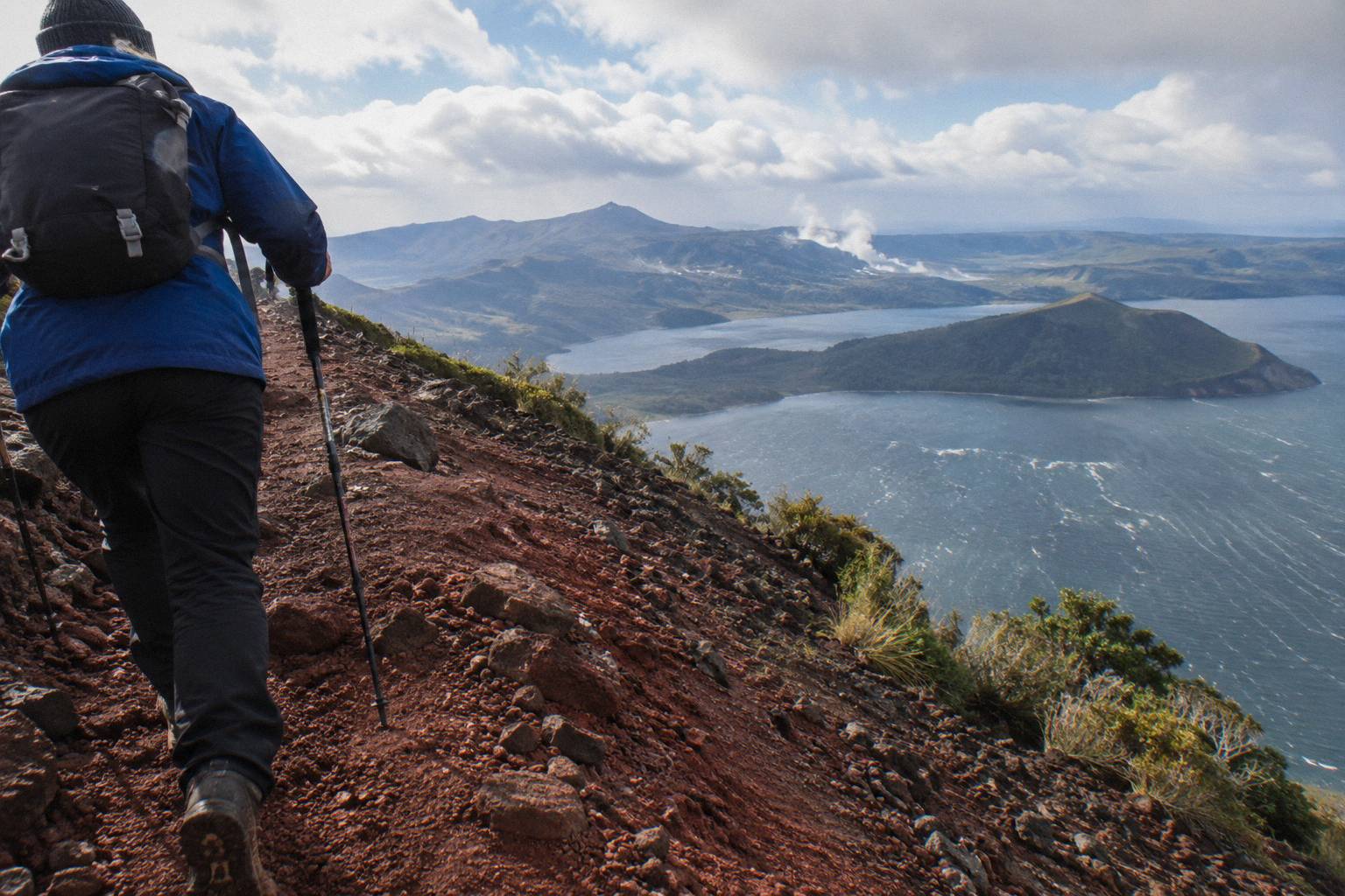
For a full-day alternative in the same season, Kaitiaki's own site also lists a Full Day Hike of about 6.5 hours for ages 7 and over that adds Tarawera Dome and about 1.5 hours more walking than the half day, though that product has no tour page here and no amount is published. And if your early crater-walk start leaves you wanting an easy evening afterwards, rotoruaculturaldinner.com covers Rotorua's cultural dinner options for exactly that kind of night.
What Each Operator Says About Weather
Volcanic Air states plainly that tour duration, flight times and inclusions may vary due to weather conditions, volcanic activity and passenger loadings, and that excursion landings are undertaken at your own risk at the pilot's sole discretion; Kaitiaki publishes no weather or cancellation policy on its pages, so ask when you book. Every booking page for all six trips here offers free cancellation up to 24 hours.
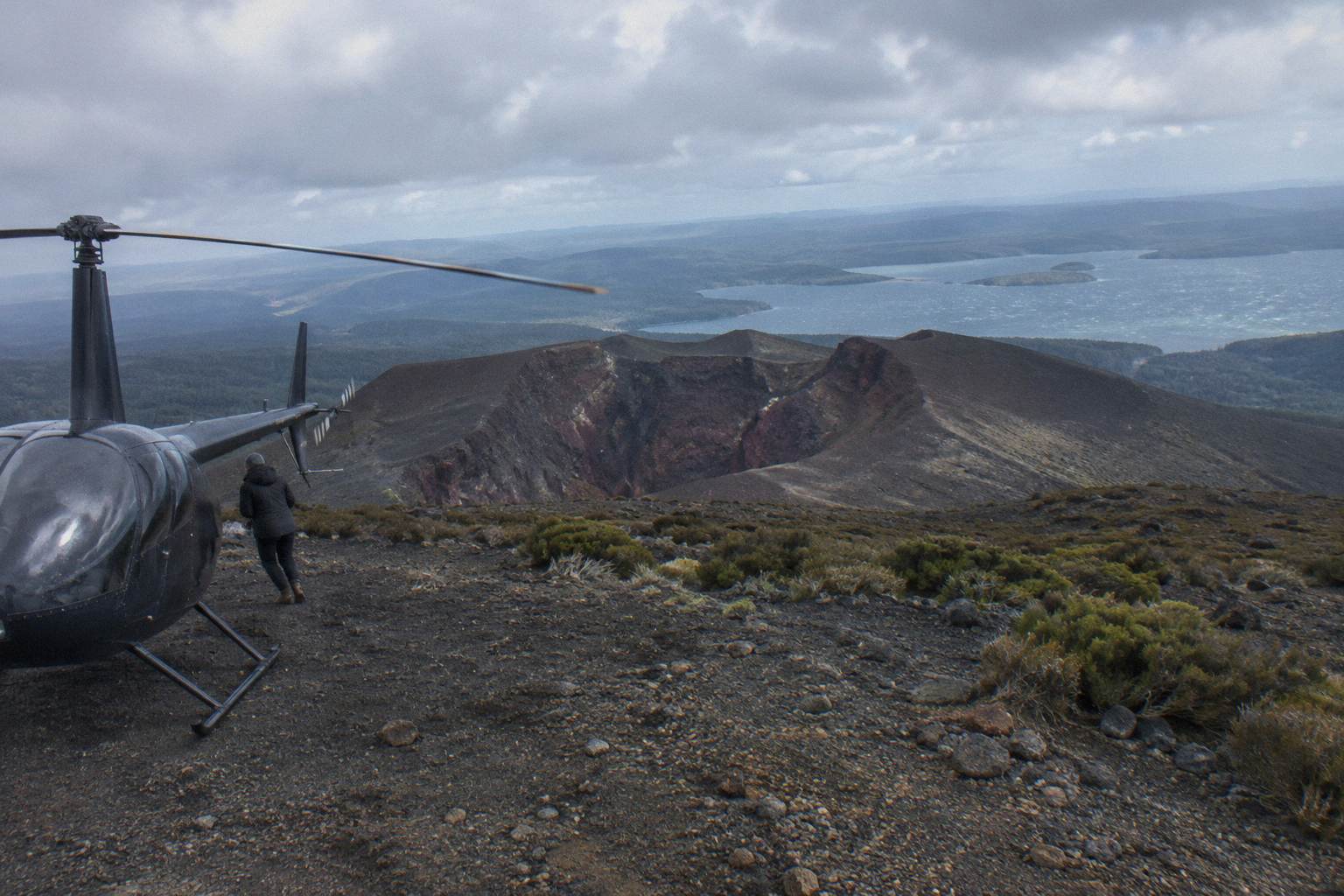
That wording deserves unpacking, because it changes how a month choice works for flights. On the Volcanic Air 40-Minute Summit Landing Flight, from NZ$675 per person, rated 4.9 across 43 reviews, the landing itself is discretionary: the flight can run and still not touch the summit if the pilot judges conditions poor. The booking pages for that flight and for the floatplane flyover say a full refund is given if the operator cancels for weather. So for helicopter products, a shoulder-season booking carries a real, if refundable, risk that the landing leg is dropped on the day, and you would be choosing a month with that in mind.
Kaitiaki's weather wording is thinner on the public record. Its FAQ describes the summit track's demands and the vehicle approach, about 30 minutes' drive to the base of the 4WD track and roughly 8.2 km of off-road travel, but its departure arrangements and weather or cancellation policy are not published on the pages read: ask when you book, as the Kaitiaki FAQ page itself recommends for anything not covered. The booking-page free cancellation up to 24 hours still applies.
GeoNet, the official monitoring service, publishes the current volcanic alert level for the Okataina Volcanic Centre, the caldera that contains Tarawera, and that status can change any day; check the GeoNet volcano page before you travel. No operator promises clear skies or a guaranteed summit touchdown, and a month planner should treat every weather promise with suspicion. What you can plan is refundability and schedule slack.
How The Season Shapes Walks, Flights And Flyovers
The walking format spends about 90 minutes on the guided crater walk within its 4.5-hour frame, the 40-minute flight gives roughly 15 to 20 minutes on the summit depending on which page you read, and the flyover never lands at all, so wind and rain bite each format differently. A wet month threatens the walk's footing, while a windy month threatens the landing flights far more than the flyover, and the table below pairs each format with its season exposure.
| Format | Trip and figure | Main weather sensitivity | Season leaning |
|---|---|---|---|
| Guided crater walk | Kaitiaki Half-Day, 4 hours 30 minutes, 4.9 across 359 reviews | Wet scoria footing, cold on the rim | Drier shoulder months, October and November |
| Helicopter landing | Volcanic Air 40-Minute, from NZ$675, 4.9 across 43 reviews | Wind and cloud at the pilot's discretion | Any calm month with a spare day |
| Long dual landing | Tarawera And Orakei Korako, from NZ$1,490, 3 hours | Longest weather exposure of the set | Settled summer months |
| Flyover, no landing | Tarawera Scenic Floatplane, from NZ$395, 4.8 across 48 reviews | Cloud over the landscape only | Widest tolerance across months |
| Two-activity combo | Kaituna Rafting And Tarawera, 9 hours, ages 13 and over | Rain doubles: river up, scoria slick | November to March |
For the walk, the season question is footing and comfort. Kaitiaki's FAQ describes two summit sections of about 50 m needing four points of contact, ground of volcanic scoria that can be slippery, and an optional run down into the crater. None of that is seasonal in wording, but drier months make all of it friendlier, and the colder months demand real layers, because a 12 °C town morning can feel near freezing on an exposed 1,111 m rim. The what to wear and bring guide is the companion piece here, and Kaitiaki provides no snacks, so pack them in every season.
For the helicopter landing products, the season question is whether the flight goes at all. The Tarawera And Orakei Korako Dual Landing Flight, from NZ$1,490 per person over 3 hours, includes a mountain landing and walk plus a ferry to Orakei Korako with a 1-hour self-guided visit and admission included; it has a new booking page with no rating yet. A longer flight is a longer weather exposure, so shoulder-season bookers should keep a backup day. The Volcanic Air 1-Hour Mountain Landing Flight, 1 hour with about 20 minutes on the mountain, publishes no amount; the booking page shows it for your date. Both require a minimum of 2 adult fares to operate. Other pages covering the same trip are gathered on Mt Tarawera Volcano Hike.
For the flyover, weather still matters but the stakes are lower. The Tarawera Scenic Floatplane Flyover, from NZ$395 per person, rated 4.8 across 48 reviews, is a flyover with no landing, always worth saying in the same breath: it does not touch the mountain, it crosses Mt Tarawera and the volcanic landscape with pilot commentary in 30 minutes from the lakefront base at 1 Lakefront Drive. In a marginal month, a flyover is the format that most often still flies when a landing flight stands down, though no operator promises that, and its booking page notes minimum numbers and a full refund if the operator cancels for weather.
The Kaituna Rafting And Tarawera Crater Walk Combo, a 9-hour day for ages 13 and over pairing about 1.5 hours of Kaituna River whitewater (about an hour on the water) with the 4x4 ascent and a 90-minute crater walk, doubles your weather exposure in a single day: rain that makes rafting lively makes scoria slick. It publishes no amount and no rating figures; complimentary transport from central Rotorua accommodation and the Rotorua Information Centre is offered, with 22 pickup options, returning you between the two activities. A drier month is the safer bet for a combo.
Booking Around Weather: Cancellation And Slack
All six trips carry free cancellation up to 24 hours on the booking page, and the 40-minute landing flight and floatplane flyover booking pages both promise a full refund when the operator itself cancels for weather, so the cheapest weather insurance is a spare day in Rotorua rather than a specific month. Nothing here guarantees a departure, and nothing should.
The practical pattern is straightforward. Book the crater walk or flight for early in your stay, not your last day, so a weather stand-down leaves room to rebook before you leave. Keep the 24-hour free-cancellation window in mind if the forecast turns ugly the day before: cancelling yourself inside that window costs nothing on any of the six. For the floatplane, note the listed minimum numbers as well as the weather clause, and for the two landing flights remember the 2-adult-fare minimum to operate. Weight rules differ by product: 135 kg per seat on the 40-minute flight's page, with a second page noting passengers over 110 kg may get specific seating with individual weights taken at booking; 110 kg total per passenger on the 1-hour flight; 130 kg total per passenger on the dual landing; 135 kg per seat on the floatplane.
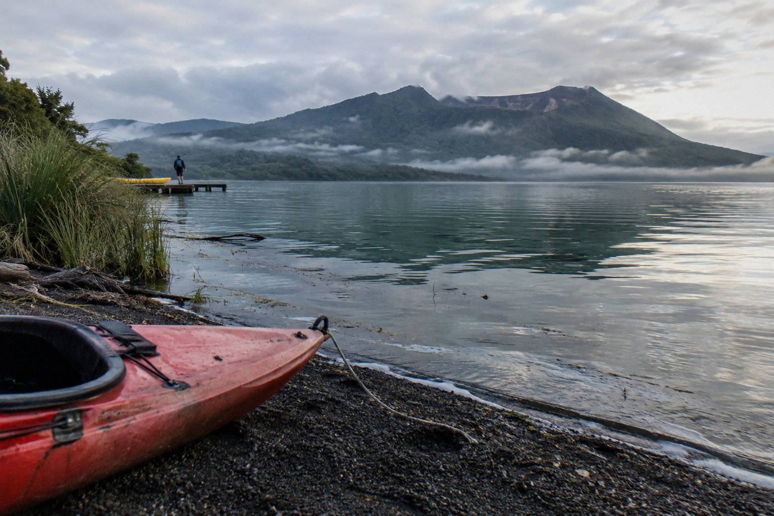
A winter trip is not a lost cause under these rules. July brings the heaviest rain (137.4 mm) and coolest days (12.0 °C mean maximum), but winter also brings the quietest tracks, and a clear winter morning on the crater rim, with snow-dusted distant ranges, is a genuine possibility in a month of 3.7 °C town nights. The gamble is simply bigger, and the backup day matters more. The weather and landing conditions guide goes deeper on how days get called.
What To Wear In Each Season
In the warmest months, November through March, town mornings still average 9.0 to 13.1 °C, so a warm layer belongs in every pack; from May through August, with town minima of 3.7 to 6.6 °C, treat the summit rim as a genuine cold-weather outing with windproof layers, gloves and a hat. The summit is colder and windier than the town in every month, without exception.
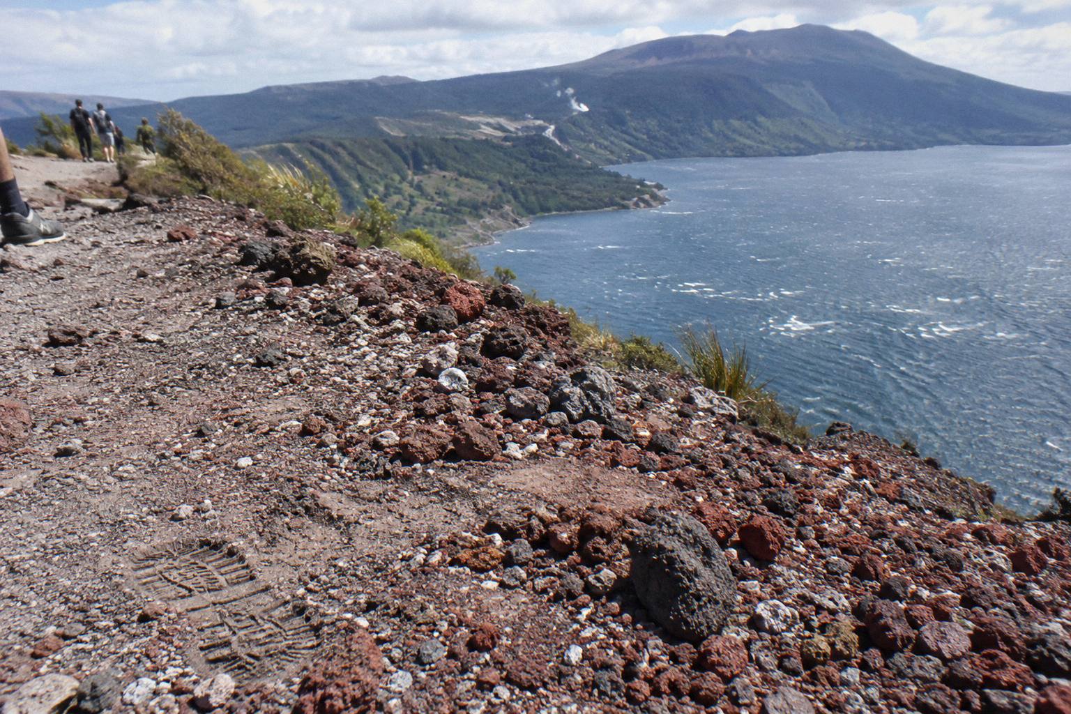
Kaitiaki's FAQ asks for sturdy walking shoes (sturdy trainers are fine), comfortable clothing for the weather, a bottle of water and snacks, and a motion-sickness note to the guide for the off-road drive. None of that changes by season except the quantity of insulation. The two 50 m hands-on sections and the optional crater run argue for grippy footwear in any month, and wet-season walkers, meaning roughly April through August by the rainfall table, should choose shoes over trainers. Sun matters too: a 23.1 °C February day on reflective pink and grey scoria is a sunburn machine, and October and November combine milder air with a thin ozone layer over New Zealand each spring.
Common Planning Mistakes To Avoid
The avoidable errors are trusting a single month to be dry, booking the crater walk for the final day of a stay, assuming a helicopter landing is guaranteed, and dressing for warm town temperatures instead of the colder and windier summit conditions above them. Each one is easy to dodge with the numbers above and a little schedule slack, and none requires spending more money.
The first mistake is reading "driest month" as "dry month". November's 86.8 mm is the lowest of the year, but the town still averages about 118.6 rainy days annually, so pack a shell in November too. The second is booking the walk on departure day; a stand-down then ends the plan with no retry. Third is treating a landing flight as a promise: Volcanic Air's own wording puts every excursion landing at the pilot's sole discretion, and the guided walk portion is short, roughly 15 minutes per the operator page and about 20 minutes per the booking page, so the flight is the product. Fourth is dressing for 23.1 °C because the town forecast said so, then meeting a windchill on an exposed rim colder and windier than anywhere you drove through. Fifth is forgetting snacks: Kaitiaki says plainly that it provides none.
Common Questions About Mt Tarawera Crater Walk Months
Which Months Suit A Mt Tarawera Crater Walk?
By the town record, November through March give the warmest days (mean daily maxima of 18.6 to 23.1 °C) and October and November the lowest rainfall (92.9 mm and 86.8 mm). No month is dry, and the 1,111 m summit is colder and windier than the town in every month, so no single month is named the right one.
What Is The Driest Month In Rotorua?
November, with an average of 86.8 mm of rain across the 1991 to 2020 normals. July is the wettest at 137.4 mm, and the year as a whole averages about 1,355.6 mm over about 118.6 rainy days.
What Is The Warmest Month For The Walk?
February, with a mean daily maximum of 23.1 °C and a mean minimum of 13.1 °C in town. February still carries 100.4 mm of average rain, so warmth does not mean dryness.
Is Winter Too Cold For The Crater Walk?
Not automatically. July averages 12.0 °C by day and 3.7 °C by night in town, and the summit is colder and windier than that, but trips run year-round and quiet winter tracks suit some walkers. Bring real layers, gloves and a windproof shell.
Do Trips Get Cancelled For Weather?
They can. Volcanic Air says durations, flight times and inclusions may vary due to weather, volcanic activity and passenger loadings, with landings at the pilot's sole discretion, and its 40-minute landing flight and floatplane booking pages promise a full refund if the operator cancels for weather. All six trips offer free cancellation up to 24 hours on the booking page.
Should A Helicopter Landing Be Booked In A Particular Season?
Choose a month with schedule slack rather than a magic month. The 40-minute landing flight, from NZ$675 per person, may still fly without landing if the pilot judges conditions poor, so a spare day in Rotorua matters more than a drier month.