Mount Tarawera Summit And Ruawahia Crater On The Guided Hike
Ruawahia Dome, the highest of Mount Tarawera's three domes at 1,111 m, is where the guided summit walk ends up. Here is what the walk reaches, what the operators say, and what stays optional.
Short answer
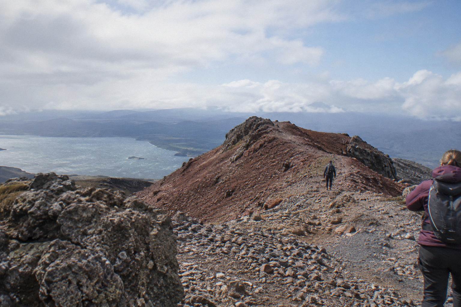
The guided Mount Tarawera summit walk reaches Ruawahia Dome, the highest of the mountain's three domes at 1,111 m, after a 4WD approach and a moderate walk on volcanic scoria. Kaitiaki's half-day runs about 4 hours 30 minutes, and the descent can include an optional run down the scree into the crater. Helicopter landing flights touch the summit too, at the pilot's discretion.
Mount Tarawera's summit is not a single peak. It is a line of three lava domes, and the highest of them, Ruawahia, stands 1,111 m above sea level according to GNS Science. That dome is where the guided summit walk finishes, and the walk down can end with something most volcanoes never offer: an optional run straight down a scree slope into the crater itself. Understanding what the trip actually reaches, and what each operator's own words promise, is the difference between booking with clear expectations and booking on a postcard image.
What The Summit Walk On Mount Tarawera Actually Reaches
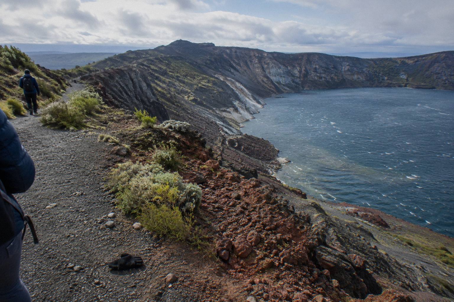
The guided summit walk reaches Ruawahia Dome, the highest of Mount Tarawera's three domes, at 1,111 m. Kaitiaki Adventures, the operator running the walking trips, describes its half-day trip as a summit of Ruawahia with "360 degree views", its own words on its tours page. The walk itself covers volcanic scoria ground, and the crater below is reached only through an optional scree run.
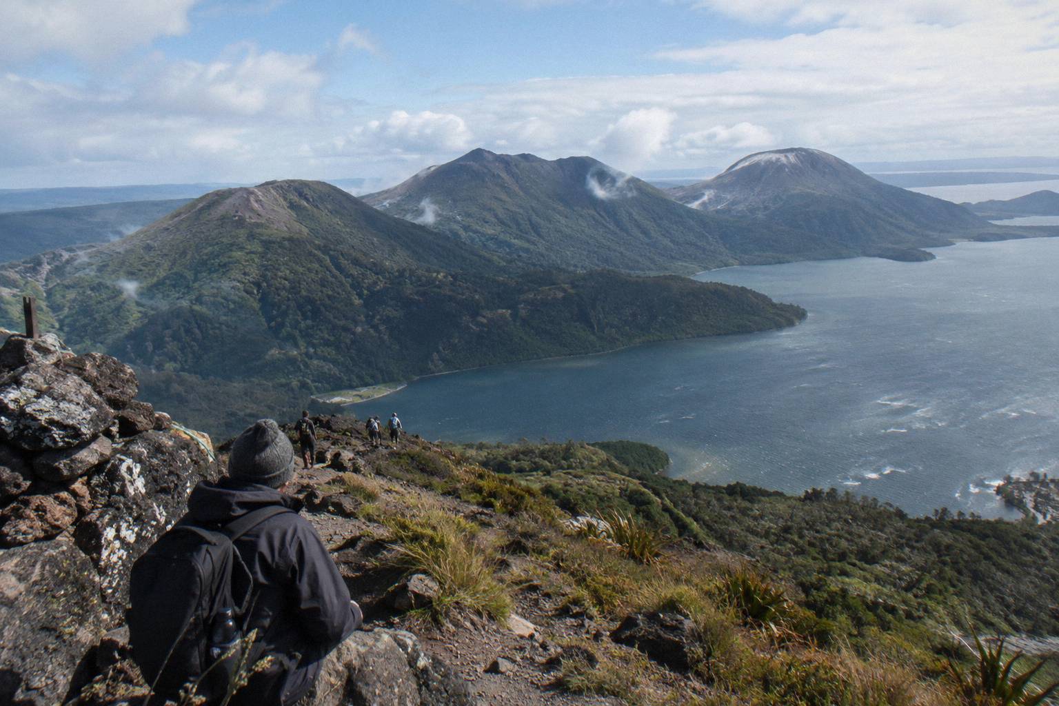
GNS Science, New Zealand's earth science institute, classifies Tarawera as one of the dome volcanoes of the Okataina Volcanic Centre, east of Rotorua. The mountain people see from the lake shore is really three domes in a row: Ruawahia, Tarawera and Wahanga. Ruawahia is the highest at 1,111 m, and every guided summit trip covered here heads for it.
The mountain sits on private land governed by the Ruawahia 2B Trust, and Kaitiaki Adventures and Volcanic Air describe themselves as concessionaires working alongside Ngati Rangitihi, who hold kaitiakitanga, or guardianship, of the maunga. The Trust reinvests most tourism concession revenue into conservation, with wilding pine removal named first among those projects. That structure answers a question that catches many visitors: why a guide at all. The full ownership story is covered in a separate piece on who owns Mount Tarawera and why access is guided, but in short, the guided model funds the conservation work on the mountain.
The conservation angle is more than a footnote for the walk itself. Wilding pine removal changes what the summit looks like year to year, as cleared slopes return to native cover, and conservation projects on the mountain give work and training to Ngati Rangitihi rangatahi, the younger generation. Every guided trip therefore doubles as a small contribution to that work through the concession revenue the Trust collects and redirects.
The walking experience sold by Kaitiaki, the Kaitiaki Half-Day 4WD And Crater Walk, runs about 4 hours 30 minutes end to end and is rated 4.9 across 359 reviews. The amount for your date appears on the booking page rather than in any fixed figure here. Check availability to see live pricing and dates. Free cancellation up to 24 hours applies on the booking page.
The Three Domes And Where Ruawahia Sits
Ruawahia, Tarawera and Wahanga are the three domes, and GNS Science names Ruawahia the highest at 1,111 m. The domes formed long before the 1886 eruption carved the crater and rift visible today. The summit walk targets Ruawahia, while the separate 15 km Tarawera Trail stays down at lake level and never climbs the mountain.
Each dome has its own character. Ruawahia anchors the southern end of the summit line and carries the walking track. Tarawera Dome sits to the north-east, and Kaitiaki's full-day hike, about 6.5 hours, adds it with roughly 1.5 hours more walking than the half day. That full-day product has no tour page here; details sit on Kaitiaki's own site. Wahanga, the northernmost dome, is part of the skyline rather than a walking destination on the stated itineraries.
| Dome | Position on the summit line | Role on the guided trips |
|---|---|---|
| Ruawahia | Southern end, highest point at 1,111 m (GNS Science) | The summit the half-day walk reaches |
| Tarawera | North-east of Ruawahia | Added on Kaitiaki's full-day hike, about 6.5 hours |
| Wahanga | Northernmost of the three | Part of the summit skyline, not a stated walking stop |
The eruption context matters because the crater people come to see was born in a single night. GNS calls the eruption of 10 June 1886 New Zealand's largest during the last 500 years. The sound was heard as far as Blenheim and ash fell as far as Christchurch, and more than 100 people were killed in villages near the mountain. The Pink and White Terraces, the famed silica formations on the lake system below, were destroyed in that same event. The date is the safe anchor point: sources disagree on the exact start time and on the length of the rift, so the night of 10 June 1886 is as specific as any careful write-up should get. The full story sits in the guide to the 1886 eruption and the crater walk.
Ruawahia's height is not just trivia. At 1,111 m the summit sits well above Rotorua town at about 280 m, and conditions up top run colder and windier than the departure point. Neither operator publishes summit temperatures, and no source here gives them, so pack for the top rather than the lakefront.
How The Guided Summit Walk Runs, Step By Step
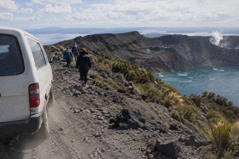
The operator's FAQ lays out the sequence plainly. After the drive from Rotorua, the 4WD section is genuinely rough: 8.2 km of bumpy off-road track that ends where the walking starts. Base camp is the last stop with facilities. The composting toilet there is the one on the mountain, a detail worth knowing before you go, and walking sticks are handed out at that point.
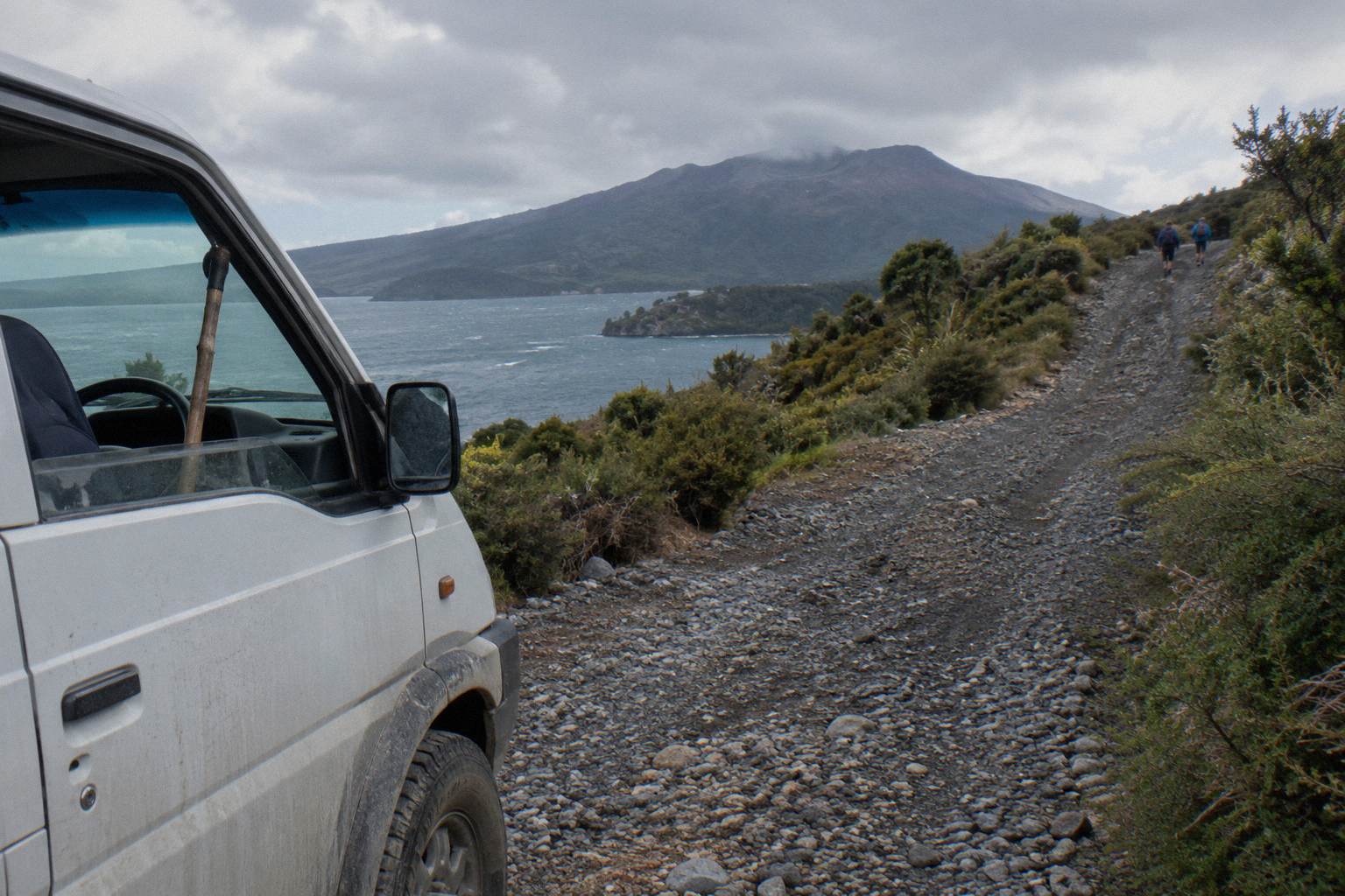
On the walk itself, benches mark the progress. At the second bench the guide shows the summit trail, and from there the track climbs volcanic scoria that the operator describes as able to be slippery in places. Kaitiaki's FAQ notes two sections of about 50 m each where four points of contact are needed, meaning hands as well as feet. The operator calls the fitness needed medium to moderate for the summit track, and importantly, guests may take lighter walking options instead of the summit, so nobody in the group is locked into the top section.
The pacing of the day rewards a little preparation. The 4WD climb comes first, so anyone prone to motion sickness should tell the guide, exactly as the FAQ advises. The walk then unfolds in stages, bench to bench, which breaks the climb into manageable pieces rather than one long push. Water and snacks belong in the pack because the operator provides none, and the mountain offers no shop.
The trip is rated 4.9 across 359 reviews, and pickup from central Rotorua accommodation is offered; check the booking page for the current amount and pickup details for your date, and confirm departure times and group size at booking. For a fuller breakdown of timings, the guide to how long the crater walk takes walks through the clock in detail.
For readers pairing the mountain with a full day of adventure, the Kaituna combo covers both.
The Scree And The Optional Run Down Into The Crater
Kaitiaki's FAQ describes the scree as "a 45 degree slope approximately 400m deep", in the operator's own words rather than as an independent measurement. The half-day trip's page mentions an optional run down into the crater. Nobody has to do it: the crater run is an option on the stated product wording, not a requirement of the trip.
That quoted description is worth pausing on. It comes from Kaitiaki's FAQ page, and it is the operator's own characterisation of the slope, not a surveyed figure for the crater, whose official dimensions no source here provides. Treat the numbers as the operator's way of saying the descent is steep and long, which matches everything else in the FAQ about scoria underfoot and footing that can slide.
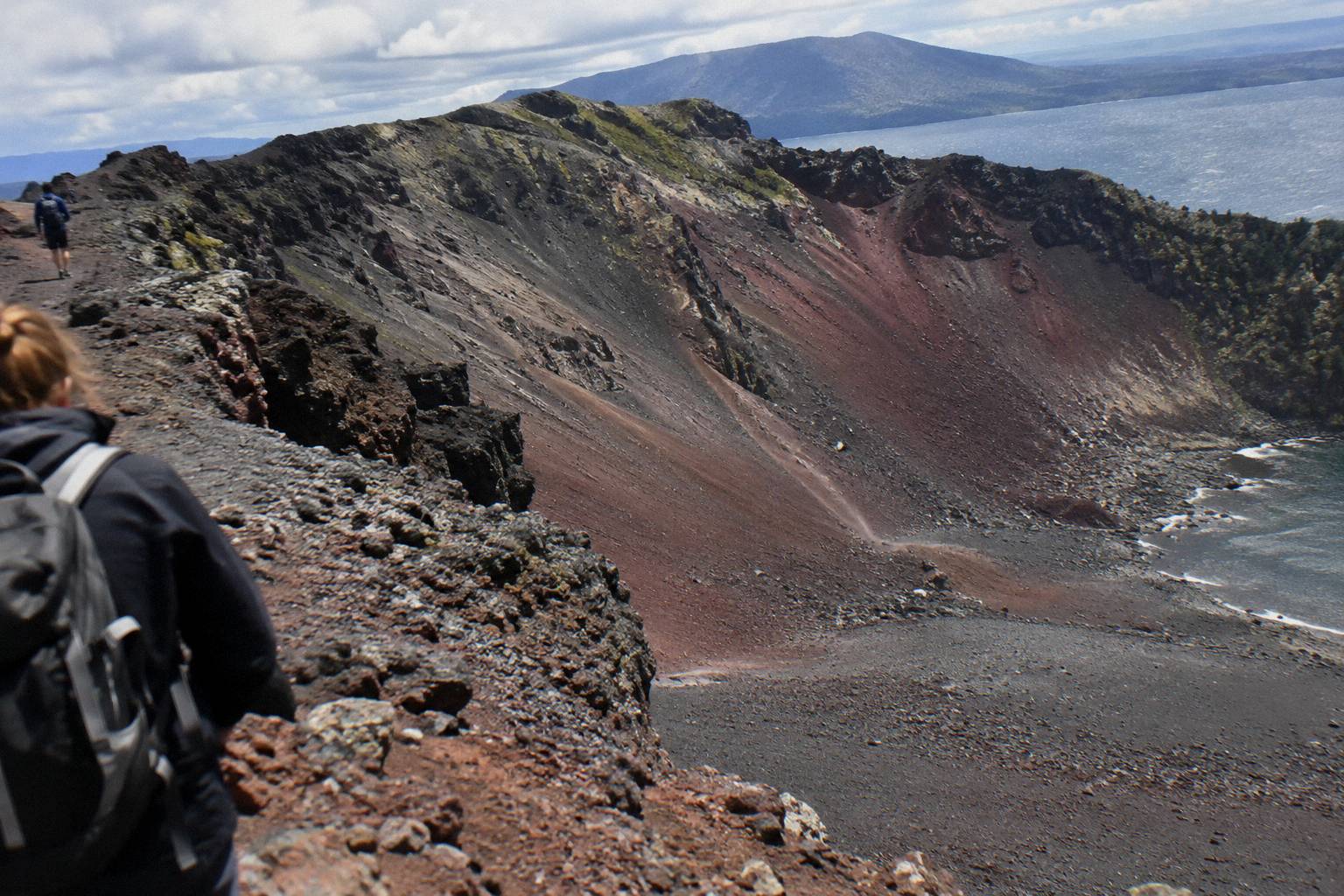
The optional run down is the signature moment of the half day. Kaitiaki's own tour page for the "Mt Tarawera Volcanic Crater Experience" mentions it alongside the Ruawahia summit and the "360 degree views" attribution from earlier. Whether the run happens on any given departure depends on conditions and the guide's judgment on the day; no page read here promises it unconditionally. For a dedicated look at the descent and how it feels underfoot, see the scree run into the crater.
Loose ground rewards the right technique and punishes hesitation. A long stride taken with commitment tends to work better than tentative steps on shifting gravel, and the walking sticks handed out at base camp earn their keep on the way down as much as the way up. Anyone unsure about the descent can simply walk it instead, which is the standing alternative on a guided trip.
Footwear matters more on scree than anywhere else on the trip. The operator asks for sturdy walking shoes, and its FAQ says sturdy trainers are fine. What you carry matters too: water and snacks, because Kaitiaki says it provides no snacks. The preparation rundown lives in what to wear and bring on the crater walk, including the motion-sickness note for the 4WD climb.
Helicopter Summit Options That Land On The Mountain
Volcanic Air runs the landing flights from the Rotorua City Lakefront helipad, and every landing is at the pilot's sole discretion, dependent on weather, volcanic activity and passenger loadings. The 40-minute flight costs from NZ$675 per person, rated 4.9 across 43 reviews, and includes a guided summit walk the operator page puts at 15 minutes and the booking page at about 20.
The flight path crosses lakes Okareka, Okataina and Tarawera before the summit landing. Once down, the guided walk is short compared with the walking trips, which is the real trade: helicopters trade time on the mountain for time saved getting there. The wording split on the walk's length, 15 minutes on the operator page versus about 20 on the booking page, is a small detail but a telling one about how each trip's numbers should be read.
| Trip | Format | Duration | Amount | Rating |
|---|---|---|---|---|
| Kaitiaki Half-Day 4WD And Crater Walk | 4WD plus guided summit walk | 4 hours 30 minutes | Amount on the booking page | 4.9 across 359 reviews |
| Volcanic Air 40-Minute Summit Landing Flight | Helicopter with summit landing and guided walk | 40 minutes | From NZ$675 per person | 4.9 across 43 reviews |
| Kaituna Rafting And Tarawera Crater Walk Combo | Rafting plus the crater walk | 9 hours | Amount on the booking page | No rating or review count given |
| Volcanic Air 1-Hour Mountain Landing Flight | Helicopter with mountain landing | 1 hour | Amount on the booking page | No rating or review count given |
| Tarawera And Orakei Korako Dual Landing Flight | Helicopter with two landings | 3 hours | From NZ$1,490 per person | No rating or review count given |
| Tarawera Scenic Floatplane Flyover | Floatplane flyover, no landing | 30 minutes | From NZ$395 per person | 4.8 across 48 reviews |
All amounts are New Zealand dollars, and all six trips carry free cancellation up to 24 hours on the booking page. Weight rules differ by product and matter: the 40-minute flight allows 135 kg per seat on its booking page, with a note that passengers over 110 kg may be given specific seating and weighed individually at booking, while the 1-hour flight's booking page puts the limit at 110 kg total per passenger and the dual landing at 130 kg. Each flight needs a minimum of two adult fares to operate.
The dual landing flight, from NZ$1,490 per person over 3 hours, adds a ferry transfer to Orakei Korako and an hour of self-guided walking there, with admission named as included. The floatplane option at from NZ$395 per person is a flyover only, no landing, and says so on the same terms everywhere. Readers deciding between walking and flying can dig into the format comparison in choosing walk, 4WD or helicopter.
For a longer helicopter experience than the 40-minute flight, the 1-hour variant adds flight time around the same style of mountain landing.
What Fitness And Age The Operators Ask For
Kaitiaki's booking page sets a minimum age of 7 and lists low fitness, back problems, heart problems and serious medical conditions as not suitable, with moderate fitness needed overall. The Kaituna combo raises the minimum age to 13. No trip is wheelchair accessible, and Volcanic Air leaves age rules to a direct question: ask when you book.
The operator's own framing is moderate, not extreme. The FAQ calls for medium to moderate fitness on the summit track and offers lighter walking options in place of the summit for guests who want them. That escape hatch matters for families: a mixed group can travel together with some members taking the lighter route while others finish the climb. The age rules are covered in more depth in the guide to the guided hike with kids and age limits.
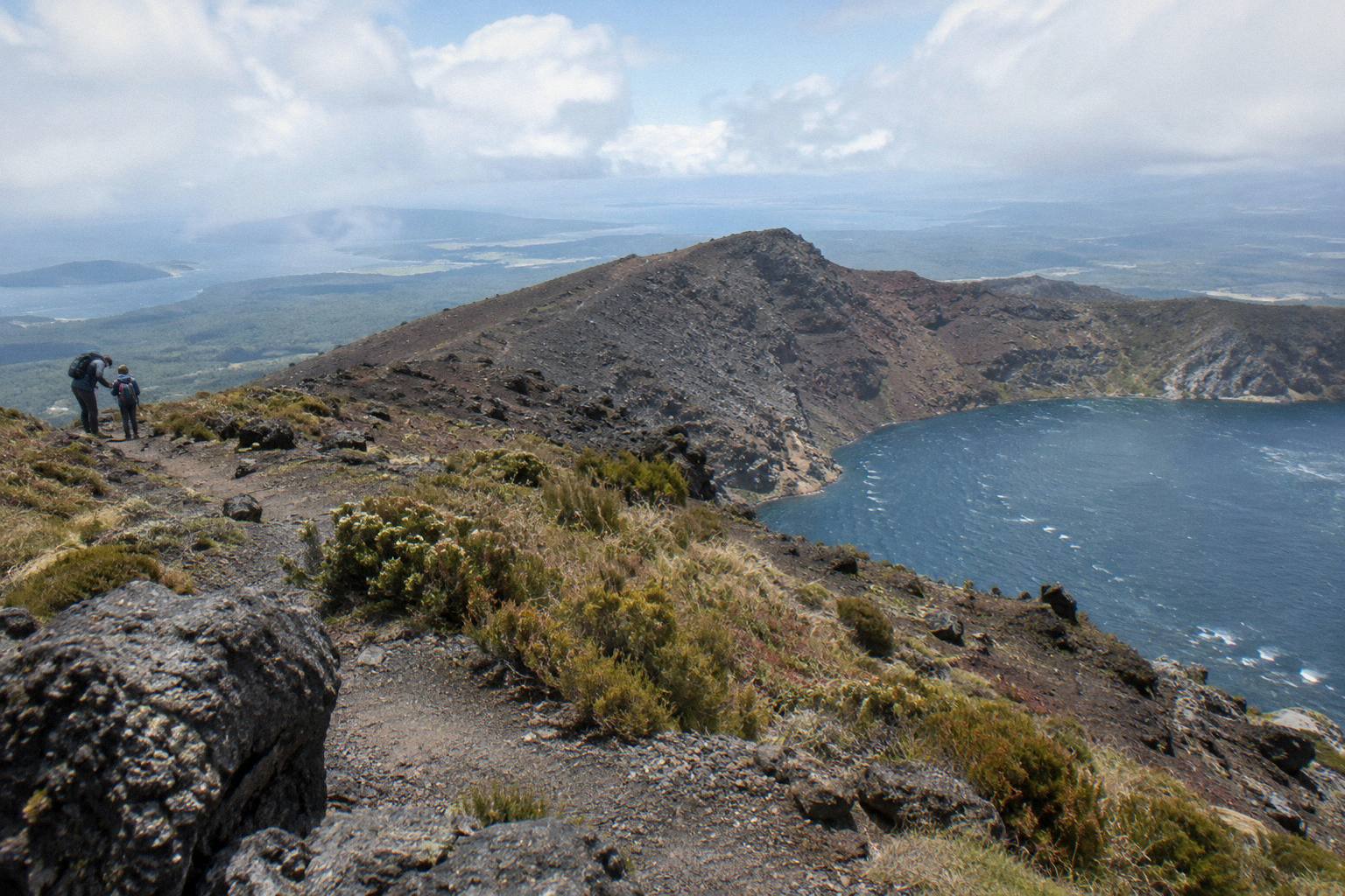
The operator grades the fitness requirement as moderate. No easier or harder grading is confirmed for this hike, so treat the track as a middle effort rather than a stroll or a climb. Two short scrambling sections of about 50 m, slippery scoria, and wind exposure near 1,111 m are the concrete facts to plan around. The difficulty question, including what moderate means in practice, gets a full treatment in crater walk difficulty and fitness.
Weather is the other gate. Landing flights depend on the pilot's discretion and conditions; walking trips depend on the operator's weather calls. The operator's departure times and weather cancellation policy are not published on the pages read, so ask when you book. The seasonal picture, built from Rotorua's 1991 to 2020 climate normals, is in which months suit a crater walk, and the day-of decision factors sit in crater walk and landing weather.
For travellers whose priority is seeing the mountain rather than standing on it, the floatplane option keeps the whole experience in the air.
Mistakes To Avoid Before Booking A Tarawera Summit Trip
The common booking mistakes are assuming the crater run is guaranteed, expecting a published price where the amount only appears on the booking page, ignoring the weight rules on flights, and mixing up the summit walk with the lake-level Tarawera Trail. Each of these catches real visitors, and each is avoidable with one check before paying.
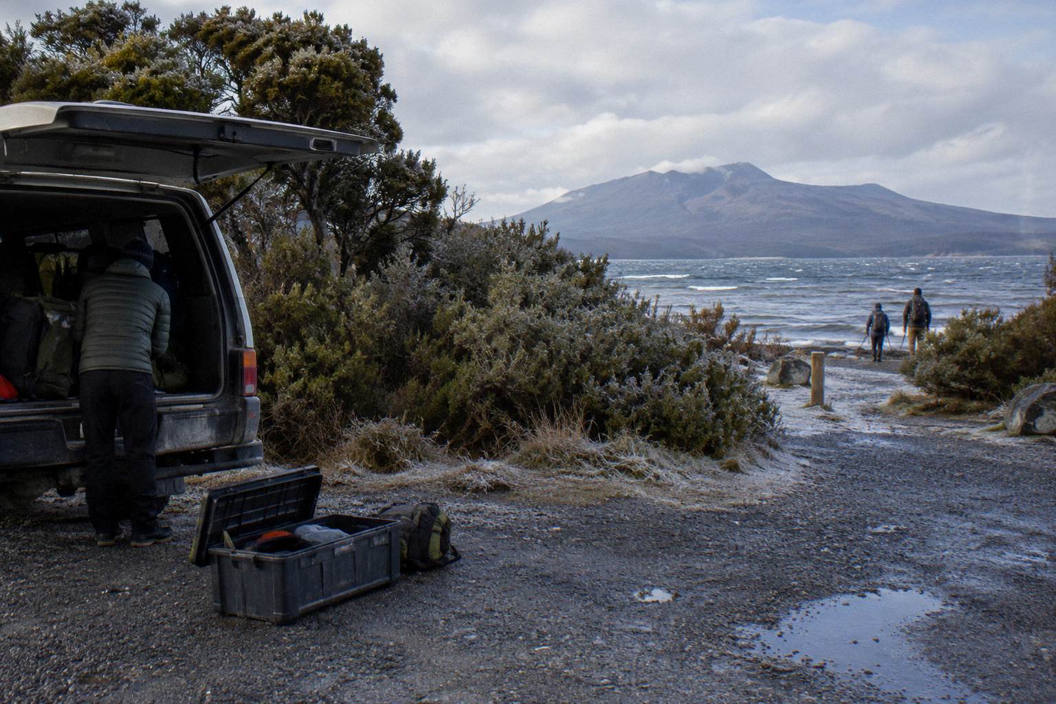
The first mistake: expecting the scree run as a certainty. It appears as an option in the operator's wording, and conditions on the day decide. The second: price anchoring. Three of the six trips show their amount only on the booking page, so any figure quoted in a forum or a friend's story may be out of date or for a different product.
The third mistake is weight. The 40-minute flight allows 135 kg per seat, the 1-hour flight 110 kg total per passenger, the dual landing 130 kg, and each has its own seating rules above certain thresholds. Weighing in is routine, not awkward, but discovering a limit at the helipad is a bad day. The fourth mistake is trail confusion: DOC's Tarawera Trail is a 15 km advanced tramping track from the Te Wairoa car park to the Hot Water Beach campsite, at lake level, and it never climbs the mountain. The comparison is unpacked in Tarawera Trail or the crater walk.
| Mistake | What goes wrong | The fix |
|---|---|---|
| Assuming the crater run is included | It appears as an option in operator wording, decided on the day | Treat the run as a bonus, not the headline |
| Expecting a fixed price | Three trips show the amount only on the booking page | Check the live amount for your date |
| Ignoring flight weight rules | Limits vary by product, 110 to 135 kg | Give your weight at booking, per the booking page |
| Confusing summit walk with Tarawera Trail | The trail is a 15 km lake-level tramp, not the mountain | Match the product to the goal before booking |
A final planning note: Mount Tarawera trips pair naturally with the sites below the mountain. The Buried Village of Te Wairoa, at 1180 Tarawera Road, keeps hours of 10am to 4pm Wednesday to Sunday with last entry at 3.45pm, closed Monday, Tuesday and Christmas Day. Waimangu Volcanic Valley describes its geothermal system as formed as the result of the eruption on 10 June 1886, which makes it a natural companion to a summit day; see pairing Waimangu with the crater walk. A lake-edge alternative for a second day, including the hot sand at Hot Water Beach, is sketched in a Hot Water Beach and crater walk day.
However you climb it, the essentials hold: one mountain, three domes, one guided route to Ruawahia's 1,111 m summit, and a set of choices about how much of the day you give it. The half-day walk suits a morning or afternoon window, the Kaituna combo swallows a full day, and the flights compress the mountain into under an hour of your schedule. If planning a wider Rotorua visit, Mt Tarawera Volcano Hike keeps the mountain's practical questions in one place.
Common Questions About The Mount Tarawera Summit And Ruawahia Crater
What Does The Guided Mount Tarawera Summit Walk Actually Reach?
The walk reaches Ruawahia Dome, the highest of the mountain's three domes at 1,111 m, after a 4WD approach of roughly 8.2 km and a moderate walk on volcanic scoria. Kaitiaki describes a summit of Ruawahia with "360 degree views" in its own words. The crater below can be reached by an optional scree run on the descent.
Can You Go Into The Crater On The Guided Hike?
Yes, as an option. Kaitiaki's half-day page mentions an optional run down into the crater, and the operator's FAQ describes the scree as "a 45 degree slope approximately 400m deep" in its own wording. Whether the run happens on a given day depends on conditions and the guide's judgment; it is not a guaranteed inclusion.
How High Is Ruawahia Dome?
Ruawahia Dome stands at 1,111 m, per GNS Science, making it the highest of Tarawera's three domes. The summit sits well above Rotorua town at about 280 m and runs colder and windier than the town figures; no published summit temperatures exist in the sources here.
Do Helicopter Tours Land On Ruawahia Too?
Volcanic Air's landing flights touch down on the mountain for a short guided walk, but every landing is at the pilot's sole discretion and depends on weather, volcanic activity and passenger loadings. The 40-minute flight costs from NZ$675 per person and is rated 4.9 across 43 reviews, with a guided walk the operator page puts at 15 minutes and the booking page at about 20.
What Fitness Do You Need For The Summit Walk?
Kaitiaki asks for medium to moderate fitness for the summit track and lists low fitness, back problems, heart problems and serious medical conditions as not suitable. Two sections of about 50 m need four points of contact, and the scoria can be slippery. Guests may take lighter walking options instead of the summit, and the minimum age is 7.
Is The Tarawera Trail The Same As The Summit Walk?
No. The Tarawera Trail is DOC's 15 km advanced tramping track from the Te Wairoa car park to the Hot Water Beach campsite at lake level, with dogs, bikes and vehicles not permitted. It never climbs the mountain. The summit walk is the guided trip up Ruawahia Dome, reached by 4WD track from the mountain's western side.